Other ID: 70-01-06; CORPUS 14
Status: Completed
Organization(s): USGS, Woods Hole Coastal and Marine Science Center
Funding Program(s):
Principal Investigator(s): Ray G., Jr. Martin
Affiliate Investigator(s): Robert Perry - Naval Research Lab
Information Specialist(s):
Data Type(s): Seismics: Air Gun / Water Gun, Electro-Magnetic: Magnetics, Seismics: Boomer, Seismics: Bubble Gun, Seismics: Sparker, Seismics: Sub Bottom Profiler, Location-Elevation: Navigation
Scientific Purpose/Goals: To map an area of the northeastern Caribbean between eastern St. Croix toward St. John, over the basins beween the St. Croix ridge and PR-VI islands platform, and in the Muertos Trough area. Ten gravity cores will be taken in the basins between the St. Croix ridge and the PR-VI platform, and in the Muertos Trough area.
Vehicle(s):
Start Port/Location:
End Port/Location:
Start Date: 1970-10-12
End Date: 1970-10-28
Equipment Used: Air gun, Marine magnetometer, Single channel hydrophone, 3.5 kHz, Magnavox satellite positioning system, Raytheon radar, Visual navigation
Information to be Derived: Grain size analysis; Bathymetric maps; Morphology;
Summary of Activity and Data Gathered: Fourteen days of ship time were utilized in October 1970 to obtain approximately 1400 miles of seismic reflection profiles as a part of a multidiscipline oceanographic experiment in the northeastern Caribbean Sea conducted by the U.S Naval Research Laboratory. Bathymetric and magnetic data were taken concurrently along the seismic tracks shown. One and a half days of the cruise were used for a detailed bathymetric survey of a ridge extending from eastern St. Croix toward St. John. This was a preliminary investigation of a power cable route for the Virgin Islands government. Following the seismic and bathymetric studies, 10 gravity cores were taken in the operation area: 5 in the basins between the St. Croix ridge and Puerto Rico-Virgin Islands platform and 5 in the Muertos Trough area. The survey utilized a Bolt 30 cu. in. air gun programmed to discharge at 15-sec. intervals while being towed at an average of 8 knots. Bathymetric profiles were made with a hull-mounted EDO 248A transceiver and displayed on dry paper by a Raytheon PFR 193C recorder. Magnetic data were obtained using a non-commercial surface proton magnetometer and displayed in both graphic and digital modes. The ship's position was determined by satellite navigation supplemented by radar and visual fixes. Seismic reflection data, though of fair resolution, are good and will yield an adequate picture of the general structural framework of the study area. Penetration varies from 0 to 1.5 sec. over the area, being greatest across the axis of Muertos Trough. The sediments sampling phase of the program was successful. Ten cores were retrieved in eleven attempts, the only failure occurring on the northwestward trending ridge northeast of St. Croix. Magnetic data taken concurrently with the air gun profiles appear to be good and will undoubtedly serve to refine the magnetic patterns that have been published. Of interest is the discovery of a possible seamount. Bathymetric data reveal a number of discrepancies on the bottom contour chart this office plans to use for the Miscellaneous Investigations Map. Perhaps the new data can be worked into the chart, time and funds permitting.
Staff: Ray G., Jr. Martin
Affiliate Staff:
Naval Reserach Lab: Robert Perry - Senior Scientist; Dr. Richard Rojas - Acoustics Engineer
J. (Rusty) Massingill - Oceanographic Tech.
Anthony Zuccaro - Navigator
Chester Brier - ET
Ruben Naber - ET
Jason (Husty) Taylor - Equip. Spec.
Ray Phalen - Equip. Spec.
Notes: Original Center People field contained: USGS-Corpus Christi: Ray Martin - Marine geologist.
Location:
Puerto Rico, U.S. Virgin Islands, British West Indies, northeastern Caribbean Sea, North America, North Atlantic;
| Boundaries | |||
|---|---|---|---|
| North: 18.5 | South: 16.5 | West: -67.5 | East: -63.75 |
Platform(s):
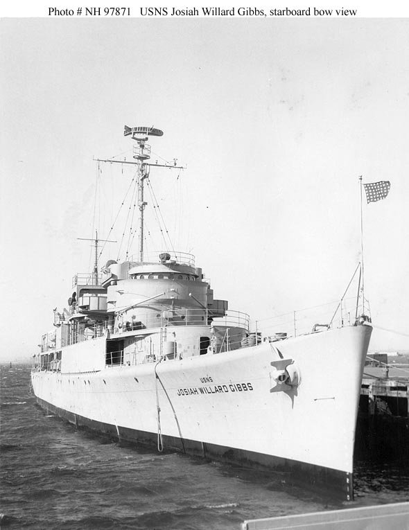 J. W. Gibbs |
| Title | Survey Equipment | Description |
|---|---|---|
| Cruise report | (document not focused on specific equipment) | Chief Scientist's cruise report including personnel, equipment and operations notes, data summary, and track map. |
| Survey Equipment | Survey Info | Data Type(s) | Data Collected |
|---|---|---|---|
| Air gun | --- | Air Gun / Water Gun | |
| Marine magnetometer | --- | Magnetics | |
| Single channel hydrophone | --- | Air Gun / Water Gun Boomer Bubble Gun Sparker Sub Bottom Profiler | |
| 3.5 kHz | --- | Sub Bottom Profiler | |
| Magnavox satellite positioning system | --- | Navigation | 1970-011-FA-LN-001 (trackchart) |
| Raytheon radar | --- | Navigation | |
| Visual navigation | --- | Navigation |
