Other ID: none
Status: Completed
Organization(s): USGS, Woods Hole Coastal and Marine Science Center
Funding Program(s):
Principal Investigator(s): Bradford Butman
Affiliate Investigator(s): John Vermersch - MIT
Information Specialist(s):
Data Type(s): Time Series: Mooring (physical oceanography)
Scientific Purpose/Goals: Deploy mooring #GBK1 (USGS mooring #101) on the southwest part of Georges Bank.
Vehicle(s):
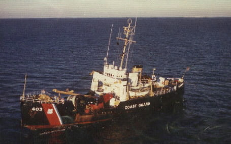
Start Port/Location: South Portland, ME
End Port/Location: South Portland, ME
Start Date: 1975-05-07
End Date: 1975-05-09
Equipment Used: Bottom platform
Information to be Derived:
Summary of Activity and Data Gathered: Mooring #GBK1, AKA #101, was deployed with 3 VACMs and one FILM CM; 2 surface buoys were deployed to bracket the subsurface mooring. Ship track: 410 nm.
Staff:
Affiliate Staff:
John Vermersch (MIT)
Notes: No indication how mooring was recovered on Aug. 23, 1975.
Location:
southwestern Georges Bank, United States, North America, North Atlantic;
| Boundaries | |||
|---|---|---|---|
| North: 40.95962046 | South: 40.69174358 | West: -67.58919272 | East: -67.07658191 |
Platform(s):
 Spar |
Moody, J.A., and Butman, B., 1980, Semidiurnal bottom pressure and tidal currents on Georges Bank and in the Mid-Atlantic Bight: U.S. Geological Survey Open-File Report 80-1137, https://doi.org/10.3133/ofr801137.
Moody, J.A., Butman, B., Beardsley, R.C., Brown, W.S., Daifuku, P., Irish, J.D., Mayer, D.A., Mofjeld, H.O., Petrie, B., Ramp, S., Smith, P., and Wright, W.R., 1984, Atlas of tidal elevation and current observations on the Northeast American continental shelf and slope: U.S. Geological Survey Bulletin 1611, https://doi.org/10.3133/b1611.
| Title | Survey Equipment | Description |
|---|---|---|
| Cruise report | (document not focused on specific equipment) | Chief Scientist's cruise report describing ship movement, equipment, personnel, and track map. |
| Survey Equipment | Survey Info | Data Type(s) | Data Collected |
|---|---|---|---|
| Bottom platform | --- | Mooring (physical oceanography) | 1975-004-FA-OM-001 (Georges Bank Sediment mooring data) |
