Other ID: none
Status: Completed
Organization(s): USGS, Woods Hole Coastal and Marine Science Center
Funding Program(s):
Principal Investigator(s): Bradford Butman
Affiliate Investigator(s):
Information Specialist(s):
Data Type(s): Time Series: Mooring (physical oceanography)
Scientific Purpose/Goals: The cruise objective was to recover a single mooring on the southern slope of Georges Bank and redeploy 2 moorings at the same site.
Vehicle(s):
Start Port/Location: South Portland, ME
End Port/Location: South Portland, ME
Start Date: 1975-08-19
End Date: 1975-08-22
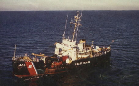
Equipment Used: Bottom platform
Information to be Derived: Time series data;
Summary of Activity and Data Gathered: The surface element of the U-shaped mooring had been found to be missing in June, which required that ground line grappling be the primary recovery method. Arriving on station, we proceeded to make several passes over the mooring with grappling gear. The dragging operation proved unsuccessful and the decision was made to re-evaluate the mooring design prior to redeployment. Ship track: 410 nm (228 km); Moorings recovered: 0; Moorings deployed: 0.
Staff: Bradford Butman
Affiliate Staff:
J. Vermersch (MIT); R. Limeburner (U. Mass/WHOI); T. Magas (EG&G
Waltham
MA)
Notes:
Location:
southern slope of Georges Bank, United States, North America, North Atlantic;
| Boundaries | |||
|---|---|---|---|
| North: 40.89596313 | South: 40.67322991 | West: -67.57110605 | East: -67.22292399 |
Platform(s):
 Spar |
| Title | Survey Equipment | Description |
|---|---|---|
| Cruise report | (document not focused on specific equipment) | Chief Scientist's cruise report describing ship movement, personnel, equipment and the reason for the unsuccessful mooring recover, track map of transit and location of mooring. |
| Survey Equipment | Survey Info | Data Type(s) | Data Collected |
|---|---|---|---|
| Bottom platform | --- | Mooring (physical oceanography) | 1975-015-FA-OM-001 (Georges Bank Sediment mooring data) |
