Other ID: COST No. B-2 well
Status: Completed
Organization(s): USGS, Woods Hole Coastal and Marine Science Center
Funding Program(s):
Principal Investigator(s): Claude (Wylie) Poag
Affiliate Investigator(s): Peter Scholle, USGS
Information Specialist(s):
Data Type(s): Sampling: Geology
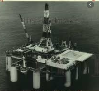
Scientific Purpose/Goals: Continental Offshore Stratigraphic Test (COST) Group, a group of 31 petroleum companies, drilled the COST No. B-2 well, the first deep stratigraphic test well, on the eastern flank of the Baltimore Canyon Trough, Atlantic Outer Continental Shelf, to explore resource potential in the area. The operator was Ocean Production Company and the platform was the submersible drill rig SEDCO-J.
Vehicle(s):
Start Port/Location:
End Port/Location:
Start Date: 1975-12-14
End Date: 1976-03-28
Equipment Used: Rotary core, Submersible drill rig
Information to be Derived: Samples and chemical analysis; Grain size analysis; Morphology; Petroleum resource potential;
Summary of Activity and Data Gathered: Continuous drilling 15,953 ft. beneath the sea floor. Conventional cores: 4; Sidewall cores: 822; Microfossil samples; Electronic drilling logs; Temperature/Pressure logs.
Staff:
Affiliate Staff:
Notes: The COST No. B-2 well was drilled by Ocean Production Company, acting as the operator for a group of 31 petroleum companies. The Maryland Geological Survey acted as the data distributor for the Geological Surveys of some of the other Atlantic coastal states.
Project = Continental Offshore Stratigraphic Test (COST), Continental Offshore Stratigraphic Test (COST)
Location:
Baltimore Canyon Trough, mid-Atlantic outer continental shelf, United States, North America, North Atlantic;
| Boundaries | |||
|---|---|---|---|
| North: 39.4 | South: 39.35 | West: -72.75 | East: -72.7 |
Platform(s):
 Sedco-J |
King, K.C., 1979, Correlation of lithologic and sonic logs from the COST No. B-2 well with seismic reflection data: U.S. Geological Survey Miscellaneous Field Studies Map 1131, 1 sheet, URL: https://pubs.er.usgs.gov/publication/mf1131.
Klitgord, K.D., and Schneider, C.M., Geophysical database of the east coast of the United States northern Atlantic margin—Velocity analyses: U.S. Geological Survey Open-File Report 94-192, https://doi.org/10.3133/ofr94192.
Scholle, P.A., ed., 1977, Geological studies on the COST No. B-2 well, U.S. mid-Atlantic outer continental shelf area: U.S. Geological Survey Circular 750, 71 p., URL: https://doi.org/10.3133/cir750.
Scholle, P.A., Krivoy, Harold Lloyd, and Hennessy, Jacqueline L., 1978, Summary chart of geological data from the COST No. B-2 well, U.S. mid-Atlantic outer continental shelf: U.S. Geological Survey Oil and Gas Investigation Chart 79, 1 sheet, URL: https://pubs.er.usgs.gov/publication/oc79.
Smith, M.A., Amato, R.V., Furbush, M.A., Pert, D.M., Nelson, M.E., Hendrix, J.S., Tamm, L.C., Wood, G., Jr., and Shaw, D.R., 1976, Geological and operational summary, COST No. B-2 well, Baltimore Canyon Trough area, mid-Atlantic OCS: U.S. Geological Survey Open-File Report 76-774, 79 p., URL: https://doi.org/10.3133/ofr76774.
| Survey Equipment | Survey Info | Data Type(s) | Data Collected |
|---|---|---|---|
| Rotary core | --- | Geology | |
| Submersible drill rig | --- | Geology |
