Other ID: none
Status: Completed
Organization(s): USGS, Woods Hole Coastal and Marine Science Center
Funding Program(s):
Principal Investigator(s): Bradford Butman, David W. Folger
Affiliate Investigator(s):
Information Specialist(s):
Data Type(s): Time Series: Mooring (physical oceanography)
Scientific Purpose/Goals: The objective of the SASSAFRASS cruise was to recover three bottom instrument packages deployed on the mid-Atlantic continental shelf.
Vehicle(s):
Start Port/Location: Governors Island, New York, NY
End Port/Location: Cape May, NJ
Start Date: 1976-01-14
End Date: 1976-01-17
Equipment Used: Bottom platform
Information to be Derived: Time series data;
Summary of Activity and Data Gathered: The SASSAFRASS was kindly made available to USGS by the U.S. Coast Guard for the recovery. One of the packages was recovered (Tripod JERRY). Tripods CINDY and DEBBIE were located with the AMF range bearing system, but the primary recovery systems failed. In the case of CINDY, the recovery balls released and were recovered, but the recovery line was severed. Difficulty was encountered setting CINDY during rough weather, and the severed line was expected. Extensive grappling efforts were made to recover CINDY; the tripod was hooked but was lost in lifting off the bottom. Time did not allow further grappling. In the case of tripod DEBBIE, the release activated, but no balls were observed at the surface; the failure was probably due to a fouled rope canister. The tripod was upright with one month additional data capacity remaining, and thus no effort was made to grapple until better grappling gear and additional time were available. Further attempts to recover CINDY and DEBBIE are planned. Working days: 1. Total ship track: 230 nm (414 km). Tripod recovered: 1 (#106 JERRY deployed FA 75032 ATLANTIC TWIN Dec. 10-12, 1975).
Staff: Bradford Butman, David W. Folger, Phil Shea
Affiliate Staff:
Andy Eliason (Eliason Data Services)
Notes:
Location:
Middle Atlantic Bight, United States, North America, North Atlantic;
| Boundaries | |||
|---|---|---|---|
| North: 39.51863834 | South: 39.20861049 | West: -73.18174483 | East: -72.78365939 |
Platform(s):
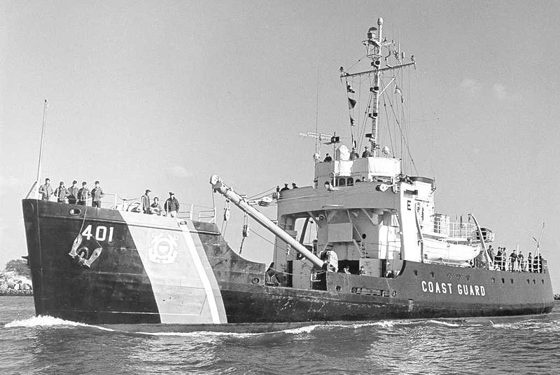 Sassafras |
Moody, J.A., and Butman, B., 1980, Semidiurnal bottom pressure and tidal currents on Georges Bank and in the Mid-Atlantic Bight: U.S. Geological Survey Open-File Report 80-1137, https://doi.org/10.3133/ofr801137.
Moody, J.A., Butman, B., Beardsley, R.C., Brown, W.S., Daifuku, P., Irish, J.D., Mayer, D.A., Mofjeld, H.O., Petrie, B., Ramp, S., Smith, P., and Wright, W.R., 1984, Atlas of tidal elevation and current observations on the Northeast American continental shelf and slope: U.S. Geological Survey Bulletin 1611, https://doi.org/10.3133/b1611.
| Title | Survey Equipment | Description |
|---|---|---|
| Cruise report | (document not focused on specific equipment) | Chief Scientist's cruise report of ship movement, personnel, equipment and data acquisition. Includes location map with mooring locations. |
| Survey Equipment | Survey Info | Data Type(s) | Data Collected |
|---|---|---|---|
| Bottom platform | --- | Mooring (physical oceanography) | 1976-001-FA-OM-001 (MAB mooring data) |
