Other ID: 81-DP-1
Status: Completed
Organization(s): USGS, Woods Hole Coastal and Marine Science Center
Funding Program(s):
Principal Investigator(s): Gerald L. Shideler
Affiliate Investigator(s):
Information Specialist(s):
Data Type(s): Location-Elevation: Navigation, Seismics: Boomer, Seismics: Sparker
Scientific Purpose/Goals: Conduct a high-resolution seismic survey to establish the stratigraphic framework of the southern Delmarva barrier island complex.
Vehicle(s):
Start Port/Location:
End Port/Location:
Start Date: 1981-07-20
End Date: 1981-07-26
Equipment Used: Boomer, Sparker , Motorola Mini-Ranger III, Single channel hydrophone
Information to be Derived:
Summary of Activity and Data Gathered: High-resolution seismic data: 185 km.
Staff: Douglass Owen, Gerald L. Shideler, John West
Affiliate Staff:
Richard Cox - U.S. Army Corps of Engineers
Norfolk
VA; Steve Deloach - U.S. Army Corps of Engineers
Norfolk
VA; John Keating - Old Dominion University; Mark Byrnes - Old Dominion University
Notes: Original Center People field contained: Gerald Shideler - Chief Scientist, Corpus Christi, TX; Douglass Owen - USGS-Corpus Christi, TX; John West - USGS-Corpus Christi, TX.
Location:
Southern Delmarva Peninsula area, Cape Charles, Virginia, Delaware, Maryland, United States, North America, North Atlantic;
| Boundaries | |||
|---|---|---|---|
| North: 37.31667 | South: 37.1 | West: -75.9833 | East: -75.71667 |
Platform(s):
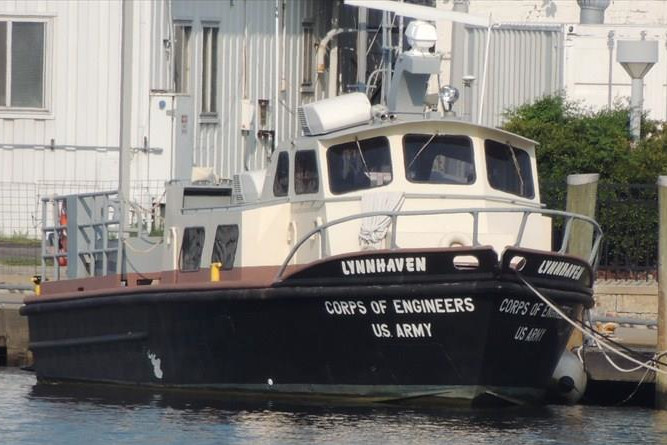 Lynnhaven |
| Title | Survey Equipment | Description |
|---|---|---|
| Cruise report | (document not focused on specific equipment) | Brief chief scientist's cruise report including personnel list, equipment and data acquired. |
| Survey Equipment | Survey Info | Data Type(s) | Data Collected |
|---|---|---|---|
| Boomer | --- | Boomer | |
| Sparker | --- | Sparker | |
| Motorola Mini-Ranger III | --- | Navigation | |
| Single channel hydrophone | --- | Air Gun / Water Gun Boomer Bubble Gun Sparker Sub Bottom Profiler | 1981-026-FA-SE-001 (analog tape of seismic data) |
