Other ID: KJ-90-1, KJ-90-2
Status: Completed
Organization(s): USGS, Woods Hole Coastal and Marine Science Center
Funding Program(s):
Principal Investigator(s): Kenneth F. Parolski
Affiliate Investigator(s): Randolph McBride, LA Geol. Survey, Leg 1; Mark Byrnes, Louisiana Geol. Survey, Leg 2
Information Specialist(s):
Data Type(s): Seismics: Boomer, Seismics: Air Gun / Water Gun, Seismics: Sparker, Location-Elevation: Navigation
Scientific Purpose/Goals: Collect nearshore and Mississippi Sound high-resolution seismics as part of coastal project to study coastal erosion and offshore sand resources.
Vehicle(s):
Start Port/Location: Gulfport, MS
End Port/Location: Gulfport, MS
Start Date: 1990-06-21
End Date: 1990-06-27
Equipment Used: ORE GeoPulse, Benthos AQ-4 10-element hydrophone streamer, GPS (wh), Loran-C
Information to be Derived: Sea floor map;
Summary of Activity and Data Gathered: GeoPulse: 18 lines, 410 km.
Staff: Kenneth F. Parolski
Affiliate Staff:
Jerry Taft
MS Minerals Tech. Cent.; Chuck O'Hara
MS Minerals Tech. Cent.; Brian Blanchard
LGS (Leg 1 only).
Notes:
Project = MS/AL/USGS Cooperative, MS/AL/USGS Cooperative
Location:
Mississippi Sound, Mississippi, Alabama, Gulf of Mexico, United States, North America, North Atlantic;
| Boundaries | |||
|---|---|---|---|
| North: 30.34917609 | South: 29.12603244 | West: -89.20887783 | East: -87.47741053 |
Platform(s):
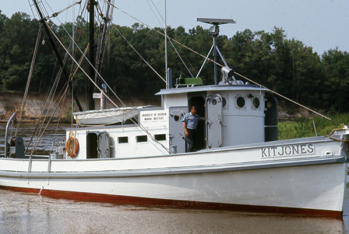 Kit Jones |
Sanford, J.M., Harrison, A.S., Wiese, D.S., and Flocks, J.G., 2009, Archive of digitized analog Boomer seismic reflection data collected from the Mississippi-Alabama-Florida Shelf during cruises onboard the R/V KIT JONES, June 1990 and July 1991: U.S. Geological Survey Data Series 429, https://doi.org/10.3133/ds429.
| Title | Survey Equipment | Description |
|---|---|---|
| Cruise report | (document not focused on specific equipment) | Chief Scientist's cruise report including personnel, purpose, equipment, tabulated information, and trackmap. Also has pre-cruise report with similar information. |
| Survey Equipment | Survey Info | Data Type(s) | Data Collected |
|---|---|---|---|
| ORE GeoPulse | --- | Boomer | |
| Benthos AQ-4 10-element hydrophone streamer | --- | Air Gun / Water Gun Boomer Sparker | 1990-013-FA-SE-001 (analog tape of seismic data) Scanned record sections of Boomer data |
| GPS (wh) | --- | Navigation | Nav data |
| Loran-C | --- | Navigation |
