Other ID: BLWS90-1; B-1-90-FL
Status: Completed
Organization(s): USGS, Woods Hole Coastal and Marine Science Center
Funding Program(s):
Principal Investigator(s): Jack Kindinger
Affiliate Investigator(s): Albert Hine (USF)
Information Specialist(s):
Data Type(s): Location-Elevation: Navigation
Scientific Purpose/Goals: Sidescanning and GeoPulse.
Vehicle(s):
Start Port/Location: Tampa, FL
End Port/Location: Tampa, FL
Start Date: 1990-07-15
End Date: 1990-07-21
Equipment Used: Loran-C
Information to be Derived:
Summary of Activity and Data Gathered:
Staff:
Affiliate Staff:
Notes: Information derived from schedule; no pre-cruise or post-cruise report found.
Location:
Florida, United States, North America, North Atlantic;
| Boundaries | |||
|---|---|---|---|
| North: 29.059771 | South: 25.28215302 | West: -83.8037 | East: -78.94726563 |
Platform(s):
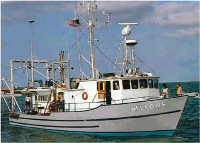 Bellows |
| Survey Equipment | Survey Info | Data Type(s) | Data Collected |
|---|---|---|---|
| Loran-C | --- | Navigation |
