Other ID: ERDA-90-3
Status: Completed
Organization(s): USGS, Woods Hole Coastal and Marine Science Center
Funding Program(s):
Principal Investigator(s): S. Jeffress Williams
Affiliate Investigator(s): Shea Penland (LGS)
Information Specialist(s):
Data Type(s): Seismics: Boomer, Location-Elevation: Navigation
Scientific Purpose/Goals:
Vehicle(s):
Start Port/Location: Cocodrie, LA
End Port/Location: Cocodrie, LA
Start Date: 1990-11-05
End Date: 1990-11-16
Equipment Used: GeoPulse uniboom, Single channel hydrophone, Loran-C, GPS (wh)
Information to be Derived: Morphology;
Summary of Activity and Data Gathered:
Staff:
Affiliate Staff:
Notes: Information derived from schedule - no pre-cruise or post-cruise report.
Location:
Louisiana, United States, North America, North Atlantic;
| Boundaries | |||
|---|---|---|---|
| North: 33.5 | South: 28 | West: -95 | East: -88 |
Platform(s):
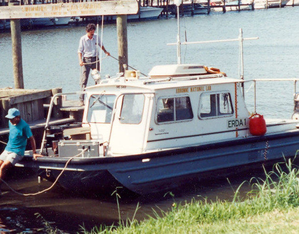 Erda-1 |
| Survey Equipment | Survey Info | Data Type(s) | Data Collected |
|---|---|---|---|
| GeoPulse uniboom | --- | Boomer | |
| Single channel hydrophone | --- | Air Gun / Water Gun Boomer Bubble Gun Sparker Sub Bottom Profiler | |
| Loran-C | --- | Navigation | |
| GPS (wh) | --- | Navigation |
