Other ID: 91-1
Status: Completed
Organization(s): USGS, Woods Hole Coastal and Marine Science Center
Funding Program(s):
Principal Investigator(s): Michael Bothner
Affiliate Investigator(s): Fred Grassle - Rutgers Univ.
Information Specialist(s):
Data Type(s): Sonar: Sidescan, Imagery: Video, Location-Elevation: Navigation, Location-Elevation: Transects
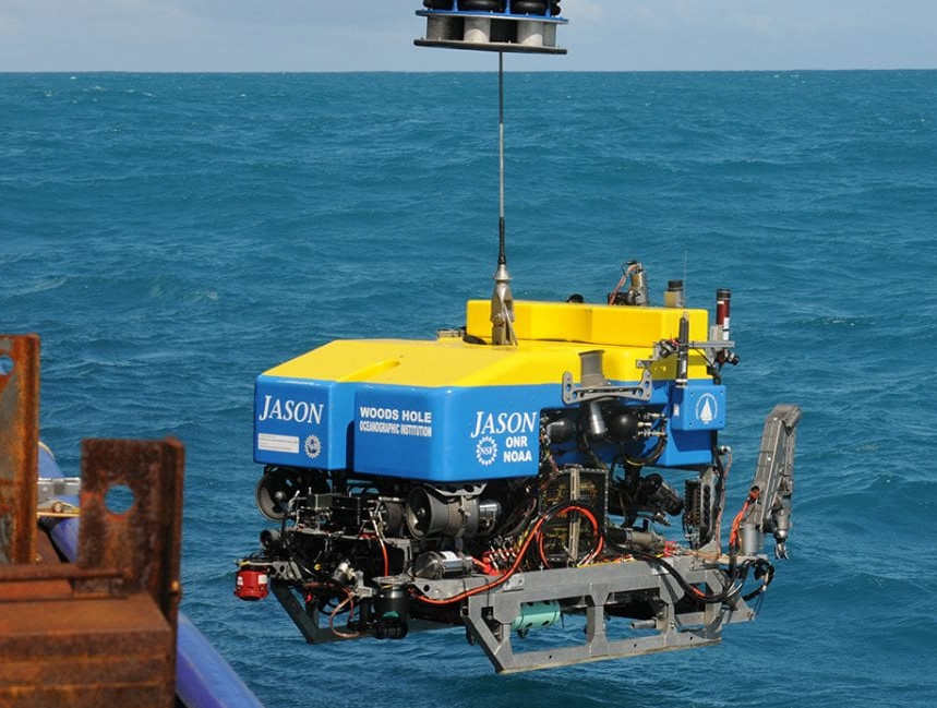
Scientific Purpose/Goals: Conduct a sidescan sonar survey for 48 hours. Collect samples and video of the sea floor using the robot JASON. The work will be conducted in the dump site and in a control area to the east. The sediment samples will be used for studies of benthic infauna, microbiology, heavy metal and organic geochemistry. The purpose of the sampling is to determine the distribution of the chemical enrichments from sewage sludge in the bottom sediments with distance from this dump site (located between 2,250-2,750 m water depth).
Vehicle(s):
Start Port/Location: Woods Hole, MA
End Port/Location: Woods Hole, MA
Start Date: 1991-06-23
End Date: 1991-07-03
Equipment Used: AMS 120 sidescan, ROV, Benthos 7000 , GPS (wh)
Information to be Derived:
Summary of Activity and Data Gathered:
Staff: Michael Bothner, Adam Brown, Kyle Mayborn, James M. Robb
Affiliate Staff:
WHOI: JASON group; Rutgers Univ.: Fred Grassle
Rose Petrecca
Notes: Added AMS-120 based on data tapes found related to the activity.
Location:
Deep Water Dump Site DWDS 106, New Jersey Continental Slope, United States, North America, North Atlantic;
| Boundaries | |||
|---|---|---|---|
| North: 39.29931 | South: 38.96795 | West: -72.3235 | East: -71.79565 |
Platform(s):
Betty Chouest |  ROV Jason |
Robb, J.M., 1994, Geologic features of the sea bottom around a municipal sludge dumpsite near 39 degrees N., 73 degrees W., offshore New Jersey and New York: U.S. Geological Survey Open-File Report 94-152, https://doi.org/10.3133/ofr94152.
| Survey Equipment | Survey Info | Data Type(s) | Data Collected |
|---|---|---|---|
| AMS 120 sidescan | --- | Sidescan | |
| ROV | --- | Photo Video Biology Geology | |
| Benthos 7000 | --- | Navigation Transects | |
| GPS (wh) | --- | Navigation | 1991-019-FA-LN-001 (3 computer-generated paper navigation plots) |