Other ID: ERDA-92-1
Status: Completed
Organization(s): USGS, Woods Hole Coastal and Marine Science Center
Funding Program(s):
Principal Investigator(s): Jack Kindinger
Affiliate Investigator(s):
Information Specialist(s):
Data Type(s): Seismics: Boomer, Seismics: Air Gun / Water Gun, Seismics: Sparker, Location-Elevation: Navigation
Scientific Purpose/Goals: Conduct high-resolution single-channel seismics survey of Lake Calcasieu, Louisiana.
Vehicle(s):
Start Port/Location: Duval Barge Docks, Sulphur, LA
End Port/Location: Duval Barge Docks, Sulphur, LA
Start Date: 1992-04-20
End Date: 1992-05-01
Equipment Used: Huntec profiling system (500-2500 Hz), Benthos AQ-4 10-element hydrophone streamer, GPS (wh), Loran-C
Information to be Derived:
Summary of Activity and Data Gathered:
Staff:
Affiliate Staff:
Dana Wiese
USGS-St. Petersberg; Scott Nichol - Dalhousie University
Notes:
Project = West Louisiana/Upper Texas Coastal Land Loss Study, West Louisiana/Upper Texas Coastal Land Loss Study
Location:
Lake Calcasieu, Louisiana, Gulf of Mexico, United States, North America, North Atlantic;
| Boundaries | |||
|---|---|---|---|
| North: 30.10922 | South: 29.70714 | West: -93.5405 | East: -93.12836 |
Platform(s):
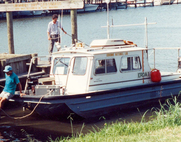 Erda-1 |
| Title | Survey Equipment | Description |
|---|---|---|
| Cruise report | (document not focused on specific equipment) | Chief Scientist's cruise report including personnel, purpose, equipment, tabulated information, trackmap. |
| Survey Equipment | Survey Info | Data Type(s) | Data Collected |
|---|---|---|---|
| Huntec profiling system (500-2500 Hz) | --- | Boomer | |
| Benthos AQ-4 10-element hydrophone streamer | --- | Air Gun / Water Gun Boomer Sparker | |
| GPS (wh) | --- | Navigation | |
| Loran-C | --- | Navigation |
