Other ID: none
Status: Completed
Organization(s): USGS, Woods Hole Coastal and Marine Science Center
Funding Program(s):
Principal Investigator(s): Christopher Sherwood
Affiliate Investigator(s): Guy Gelfenbaum
Information Specialist(s): Ellyn Montgomery
Data Type(s): Imagery: Photo, Location-Elevation: Navigation, Time Series: Mooring (physical oceanography)
Scientific Purpose/Goals: Deploy sonars on tripods in Columbia River Estuary
Vehicle(s):
Start Port/Location: Astoria, OR
End Port/Location: Astoria, OR
Start Date: 2013-05-06
End Date: 2013-05-10
Equipment Used: Digital camera, GPS (wh), Bottom platform
Information to be Derived:
Summary of Activity and Data Gathered: None. Instrument deployment.
Staff: Ellyn Montgomery
Affiliate Staff:
Notes: MCR ONR Rivet Project (G. Gelfenbaum)
OT approved through Santa Cruz.
Location:
Columbia River Estuary, Oregon, United States, North America, North Pacific
| Boundaries | |||
|---|---|---|---|
| North: 46.32038 | South: 46.1532 | West: -124.173 | East: -123.76373 |
Platform(s):
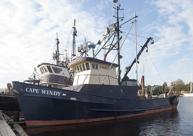 Cape Windy |
| Survey Equipment | Survey Info | Data Type(s) | Data Collected |
|---|---|---|---|
| Digital camera | --- | Photo | |
| GPS (wh) | --- | Navigation | |
| Bottom platform | --- | Mooring (physical oceanography) |
