USGS > Coastal and Marine Hazards and Resources Program > Coastal and Marine Geoscience Data System
Field Activity 08LCA04 Images of SEGY Data
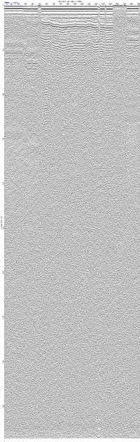
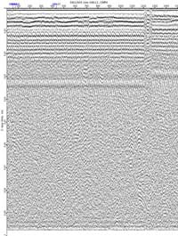
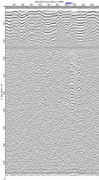
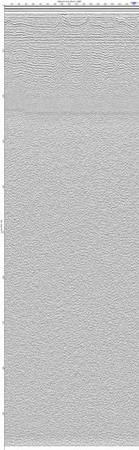
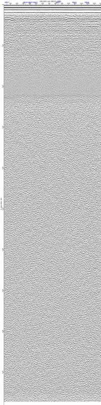
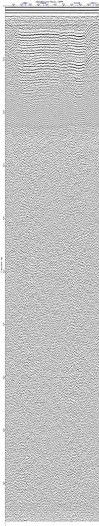
JPEG images of seismic data labeled by line numbers
Click on an image to download the full size JPG file.
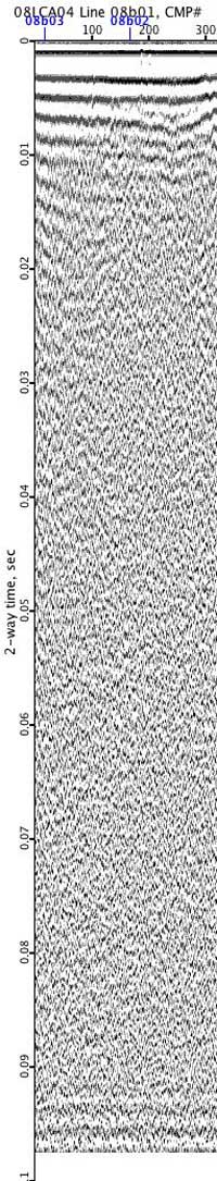
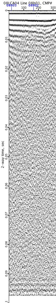
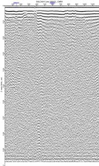
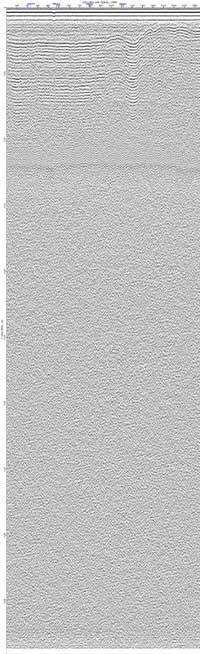
08LCA04-08b01
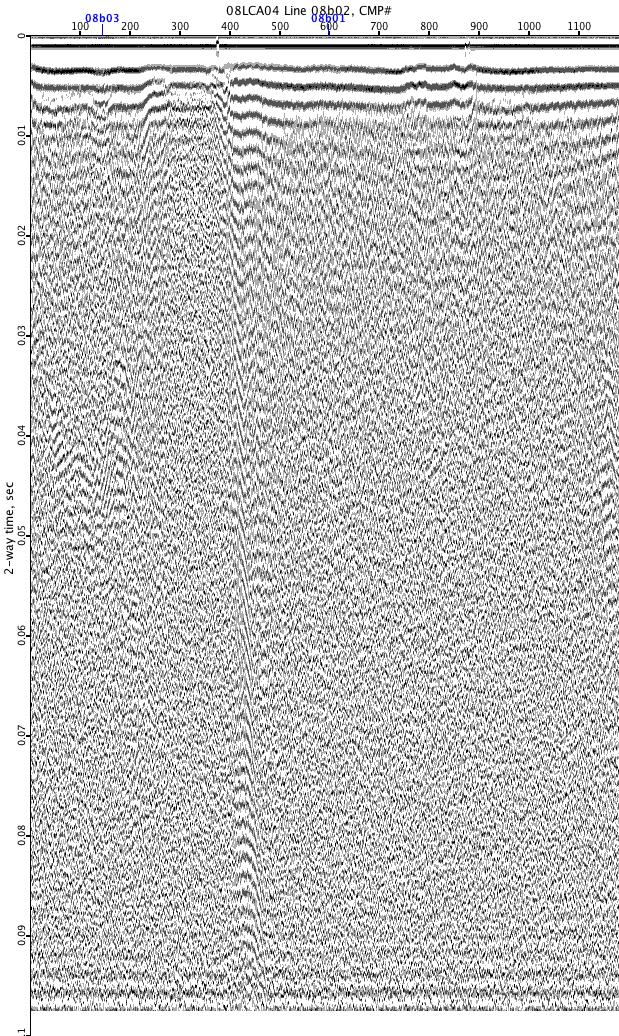
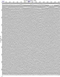
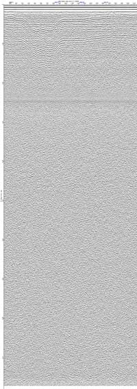
08LCA04-08b02
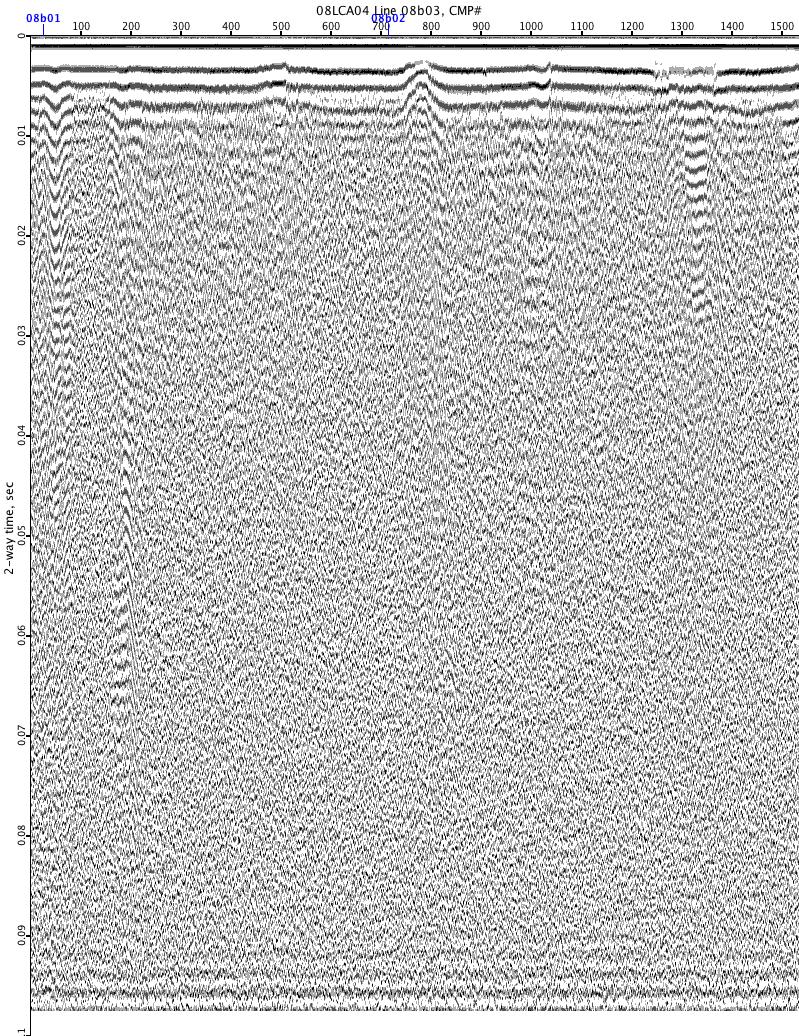
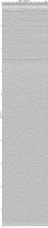
08LCA04-08b03
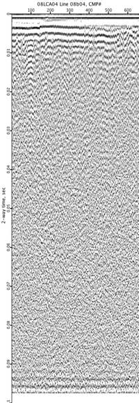
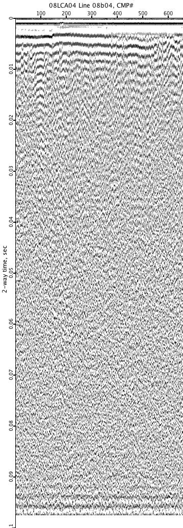
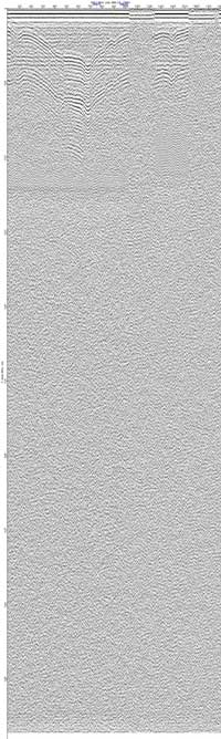
08LCA04-08b04
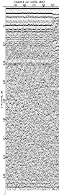
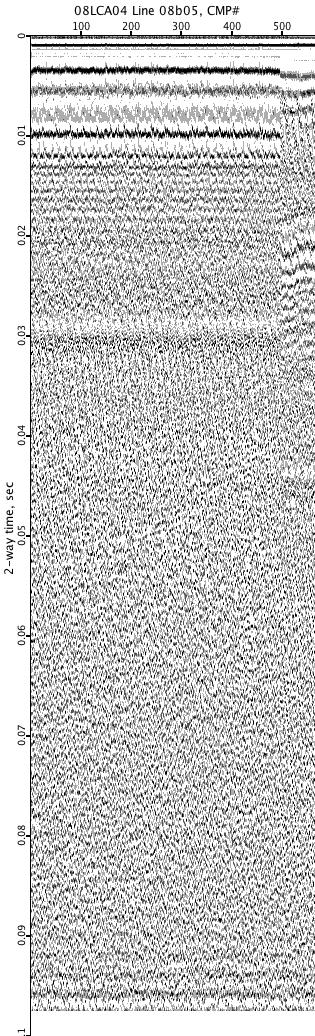
08LCA04-08b05
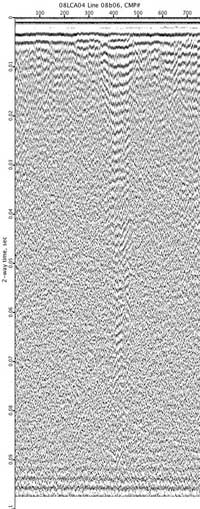
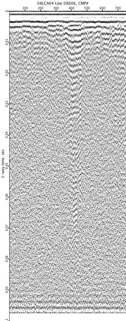
08LCA04-08b06
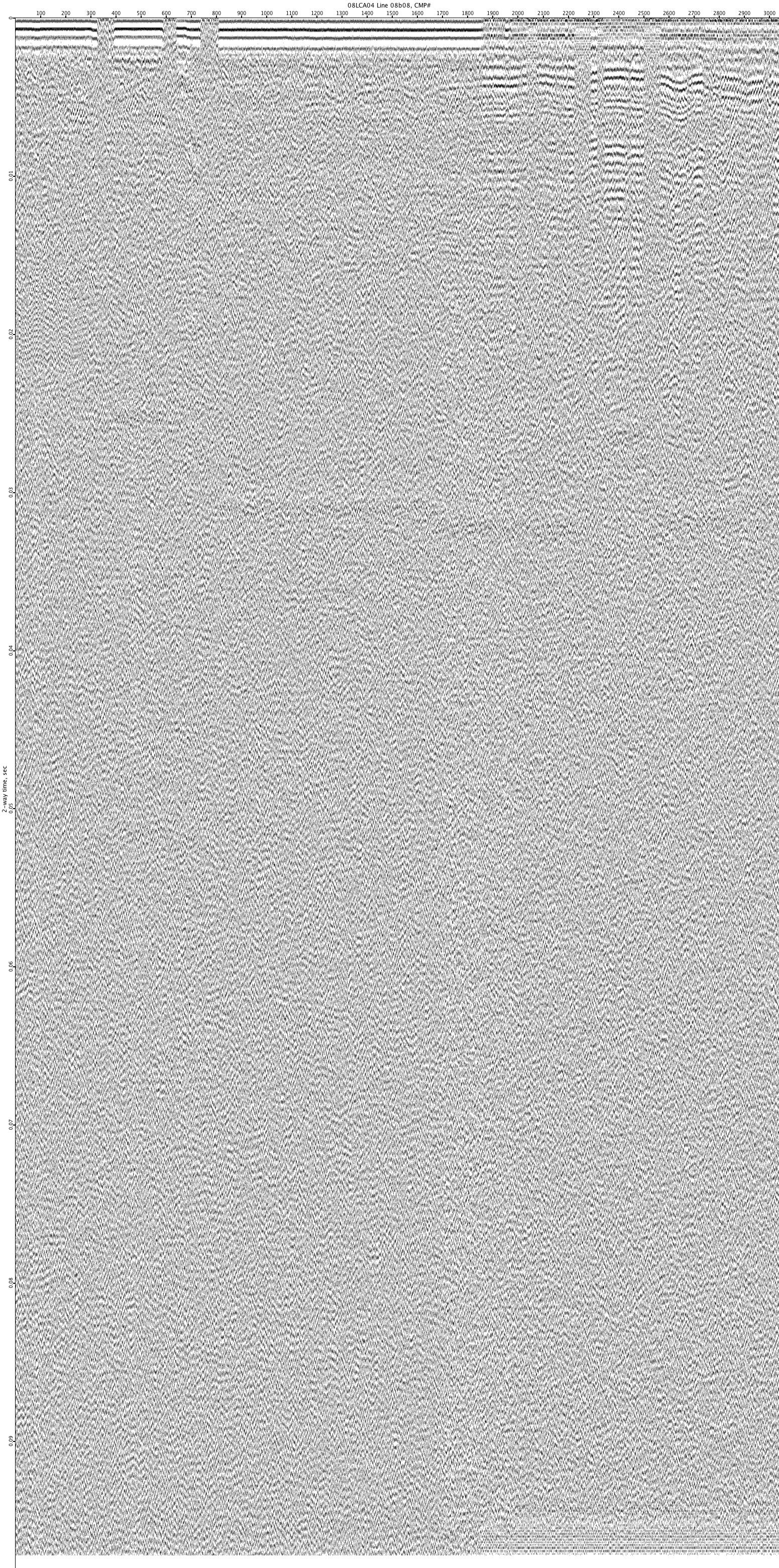
08LCA04-08b08
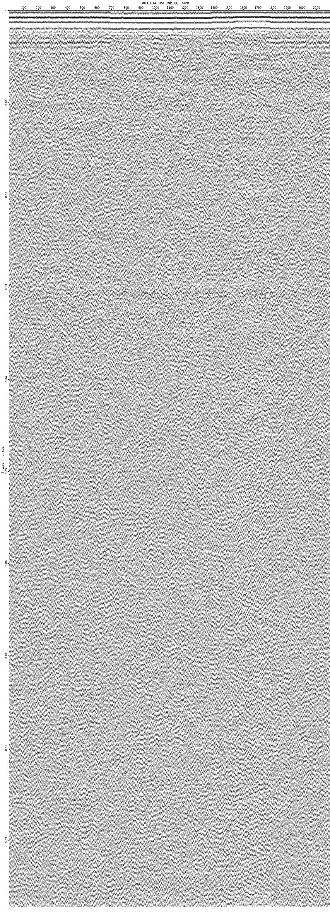
08LCA04-08b09
08LCA04-08b10
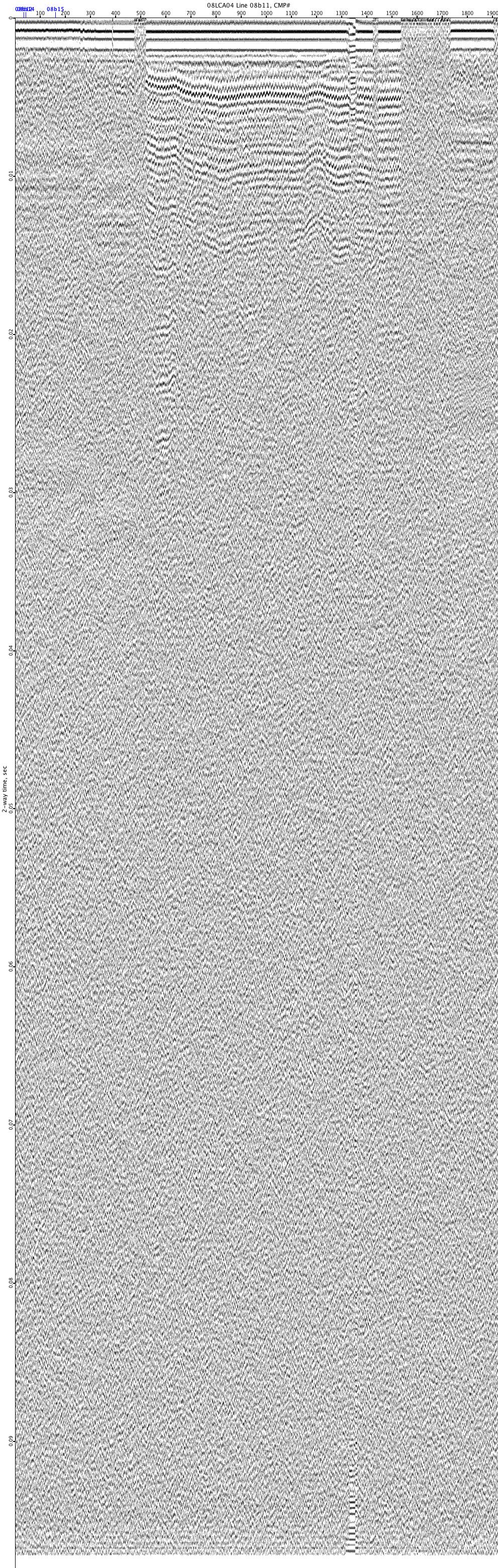
08LCA04-08b11
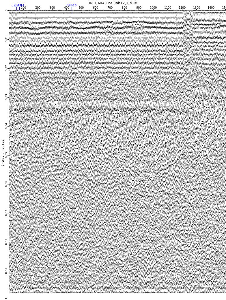
08LCA04-08b12
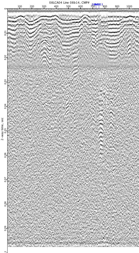
08LCA04-08b14
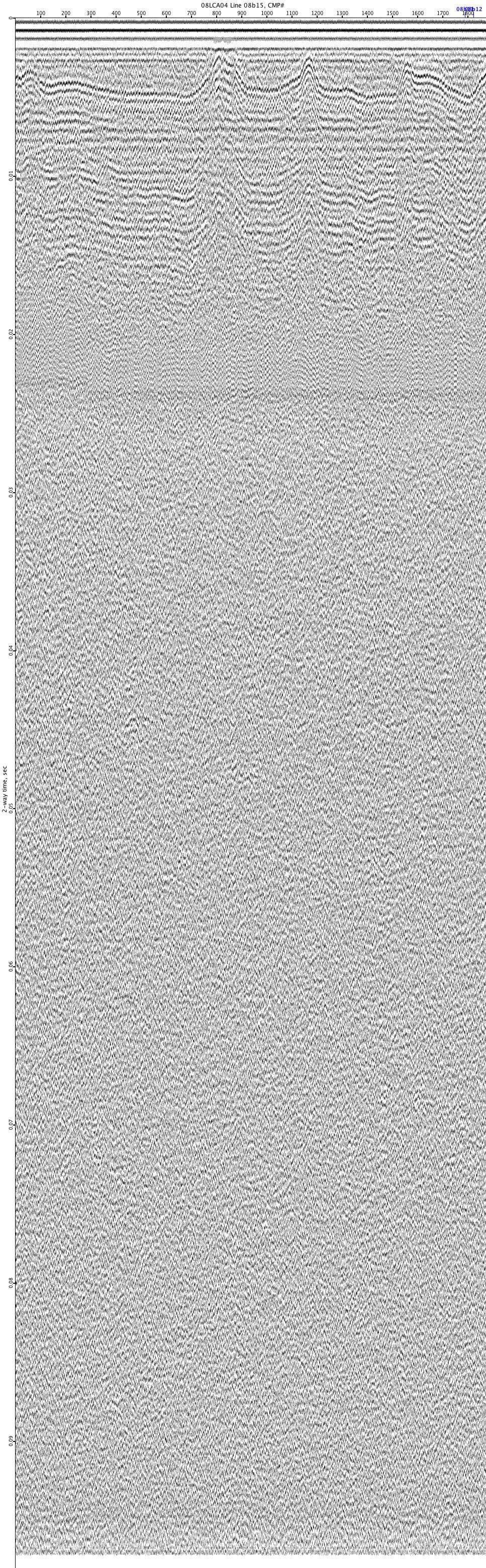
08LCA04-08b15
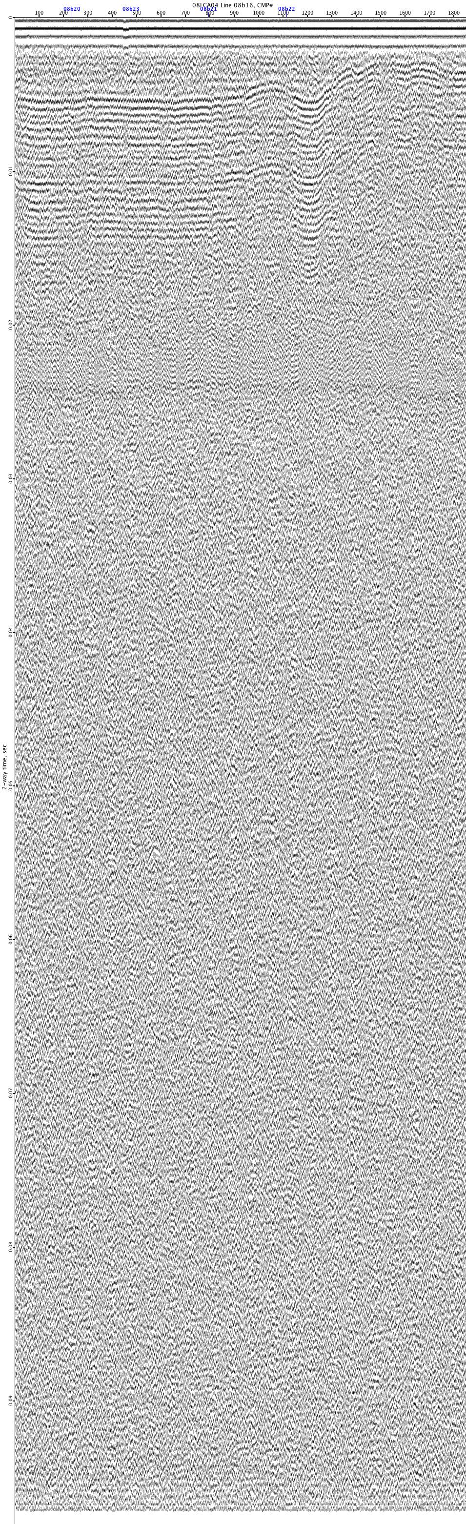
08LCA04-08b16
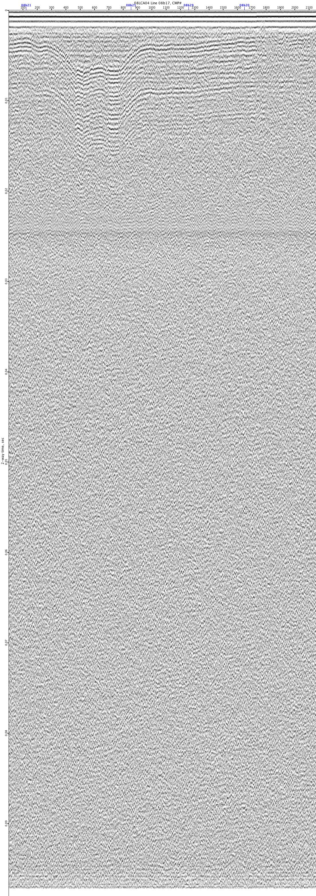
08LCA04-08b17
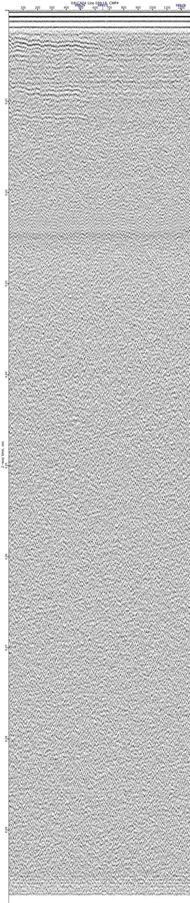
08LCA04-08b18
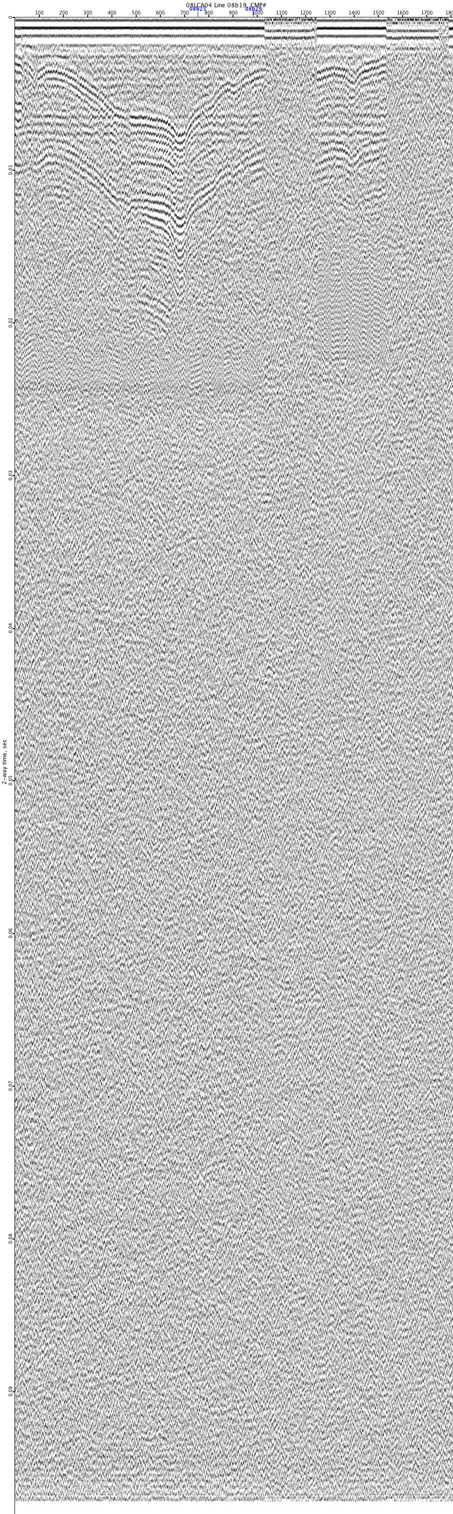
08LCA04-08b19
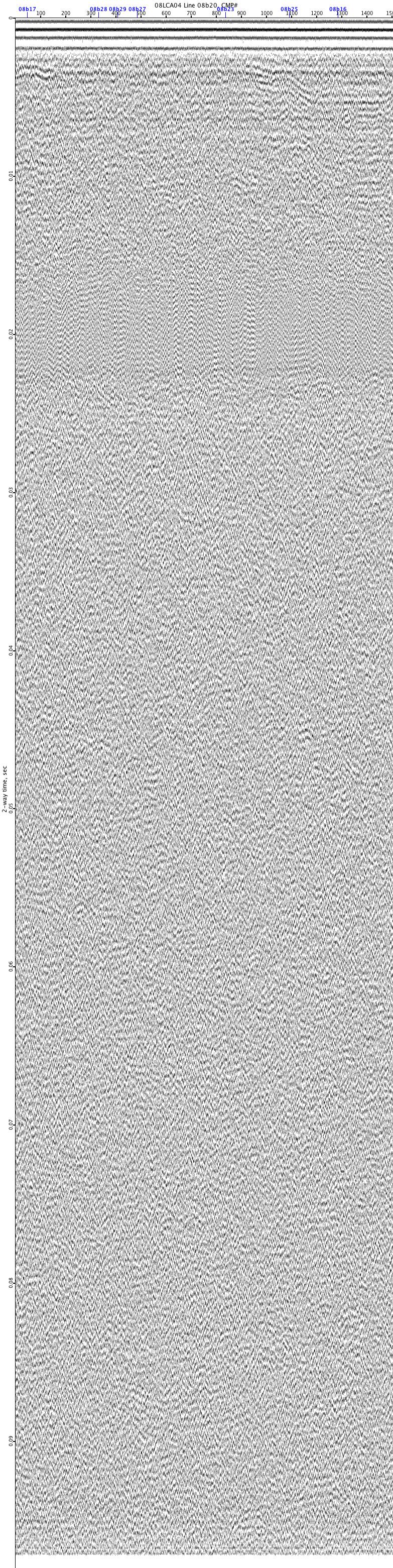
08LCA04-08b20
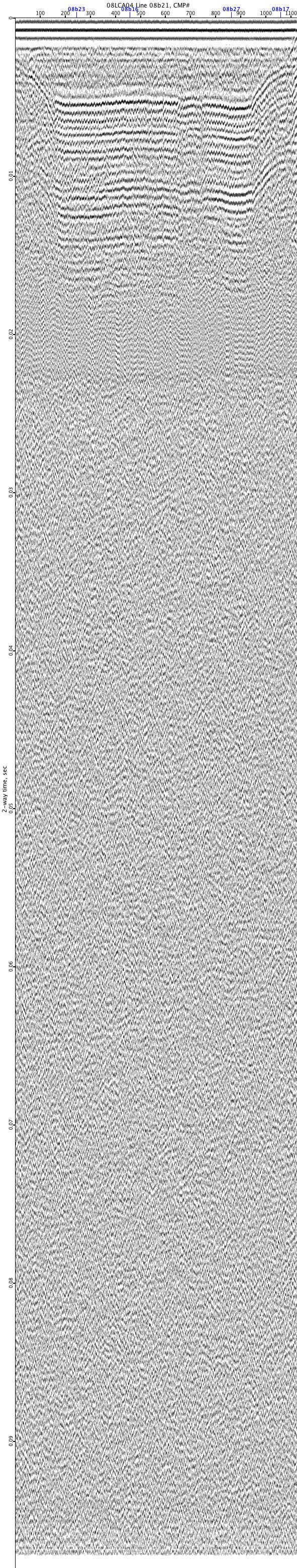
08LCA04-08b21
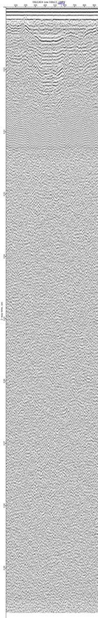
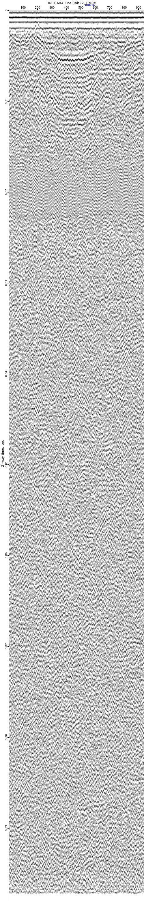
08LCA04-08b22