USGS > Coastal and Marine Hazards and Resources Program > Coastal and Marine Geoscience Data System
Field Activity 1996-040-FA Images of SEGY Data
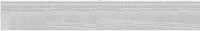
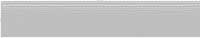
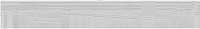
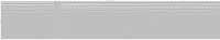
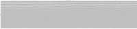
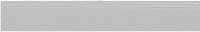
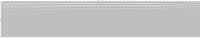
JPEG images of seismic data labeled by line numbers
Click on an image to download the full size JPG file.
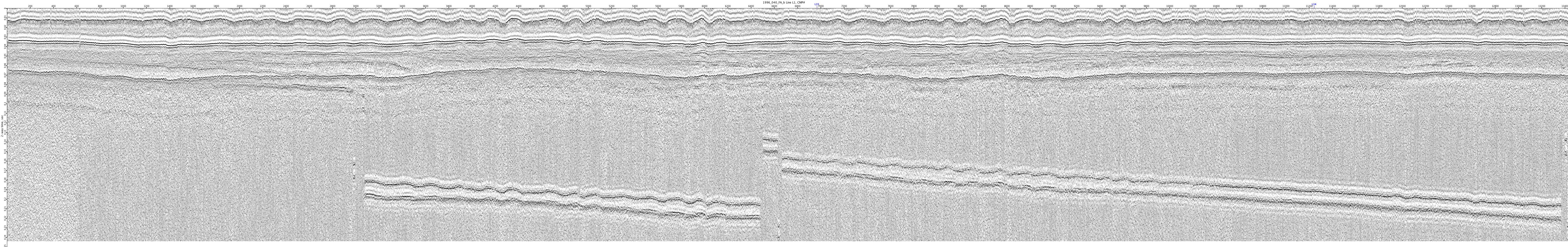
1996_040_FA_b-L1

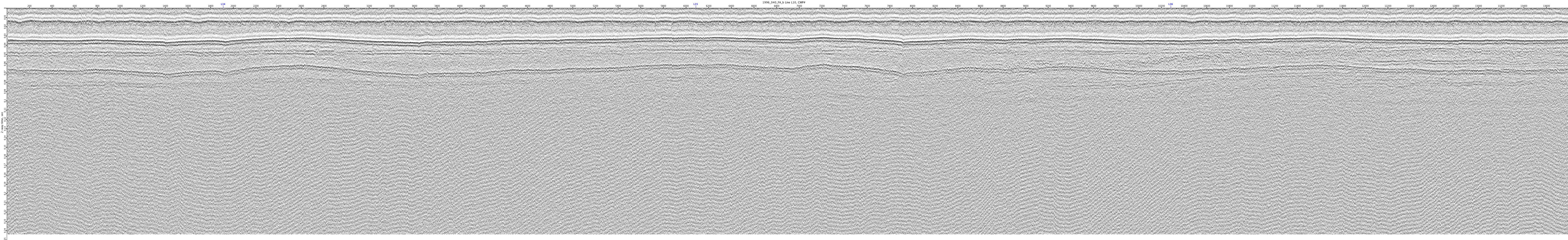
1996_040_FA_b-L10

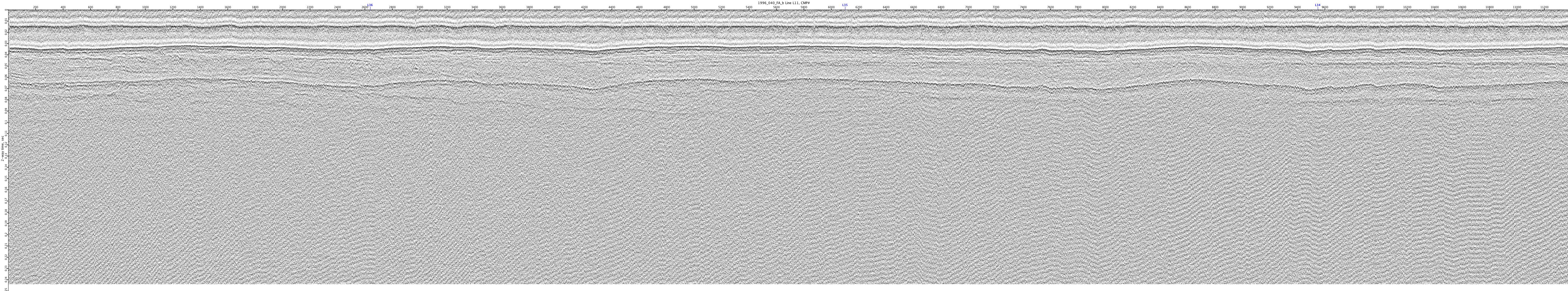
1996_040_FA_b-L11

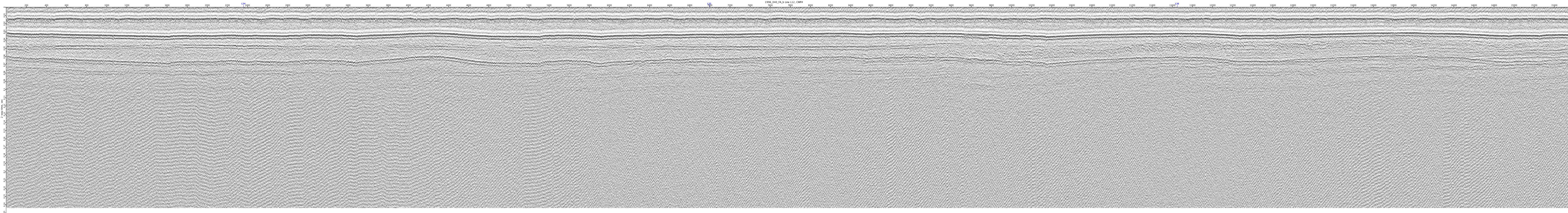
1996_040_FA_b-L12
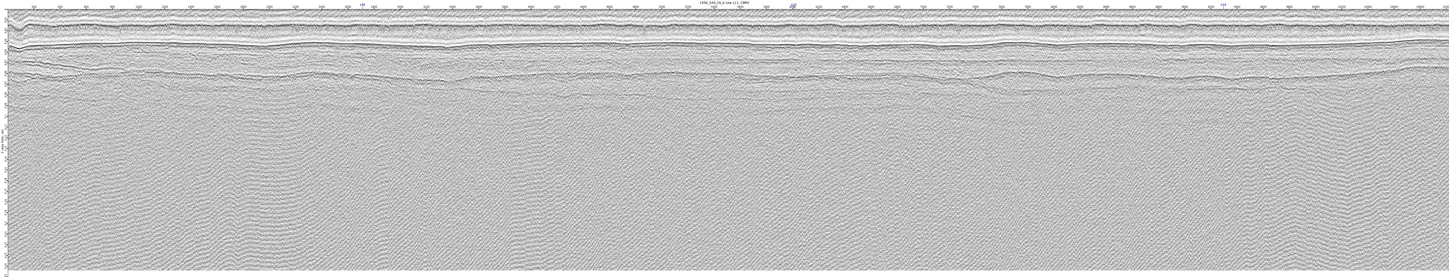
1996_040_FA_b-L13

1996_040_FA_b-L14

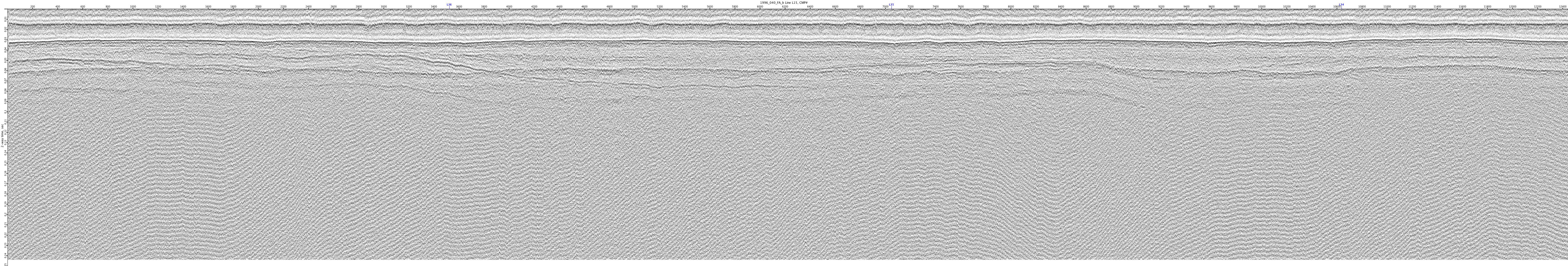
1996_040_FA_b-L15

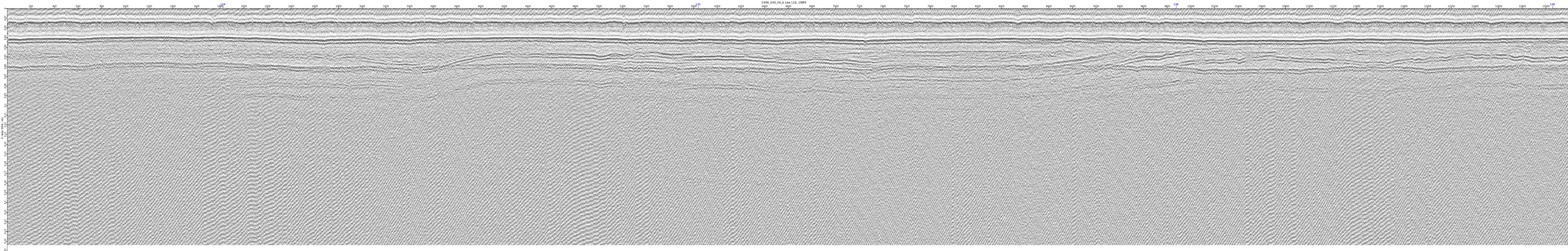
1996_040_FA_b-L16

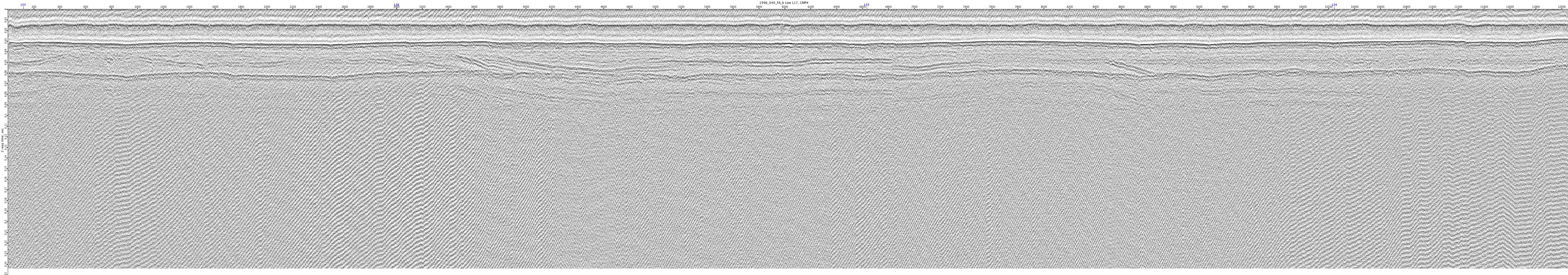
1996_040_FA_b-L17

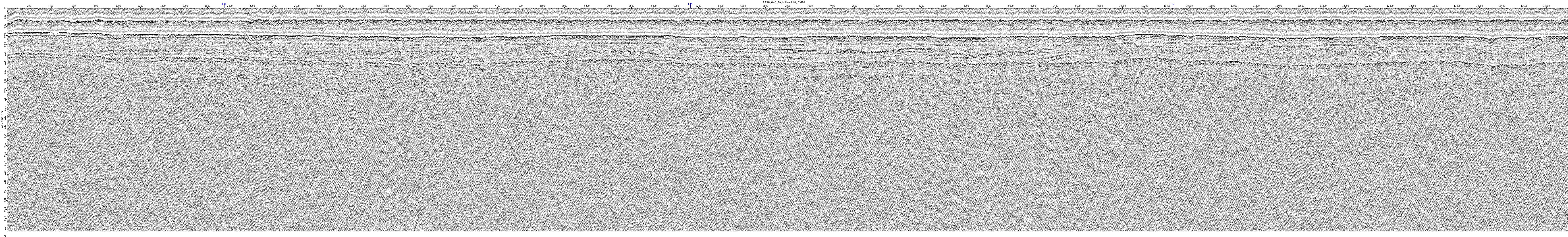
1996_040_FA_b-L18

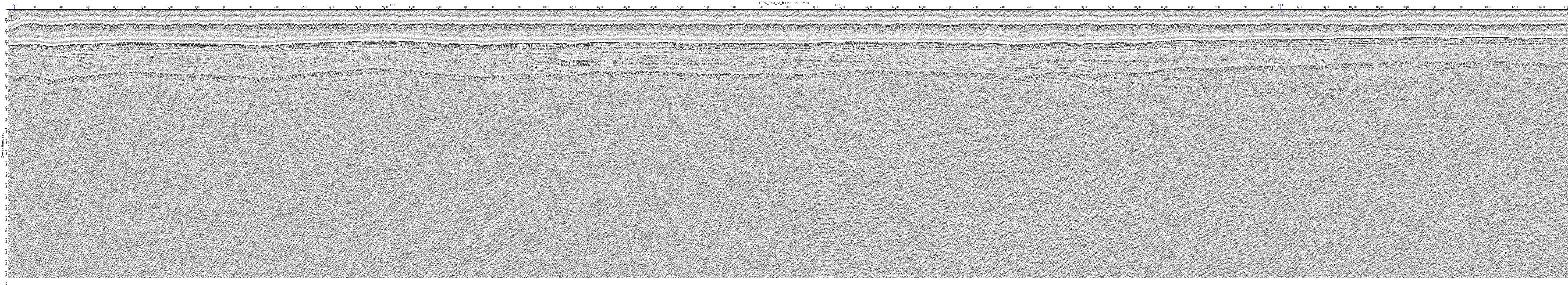
1996_040_FA_b-L19
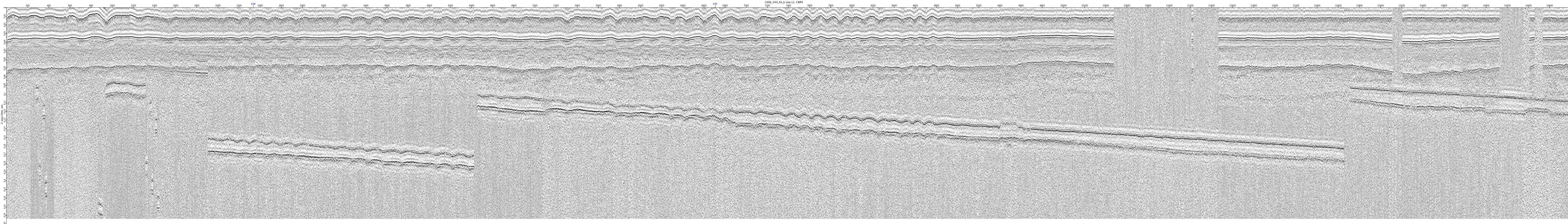
1996_040_FA_b-L2

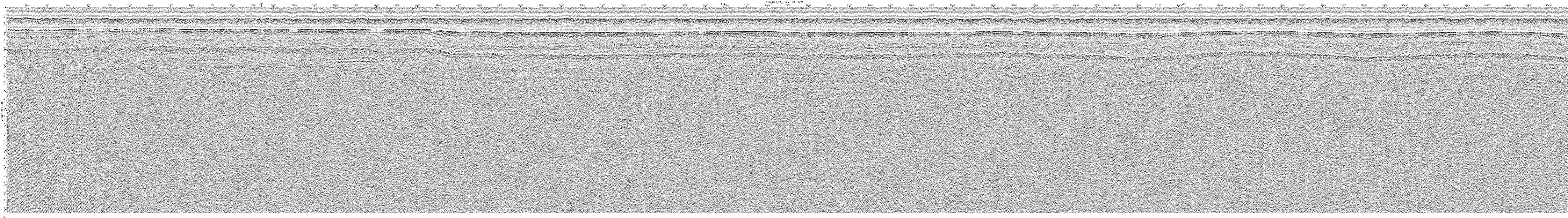
1996_040_FA_b-L20
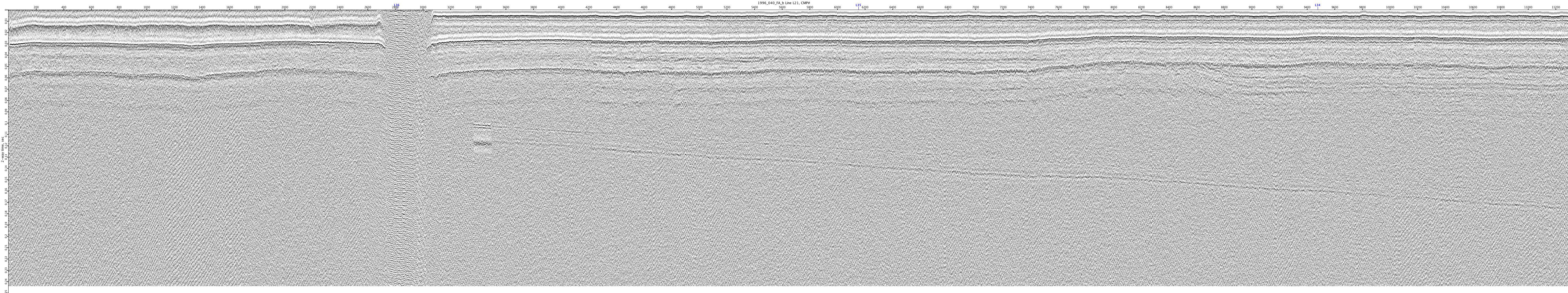
1996_040_FA_b-L21

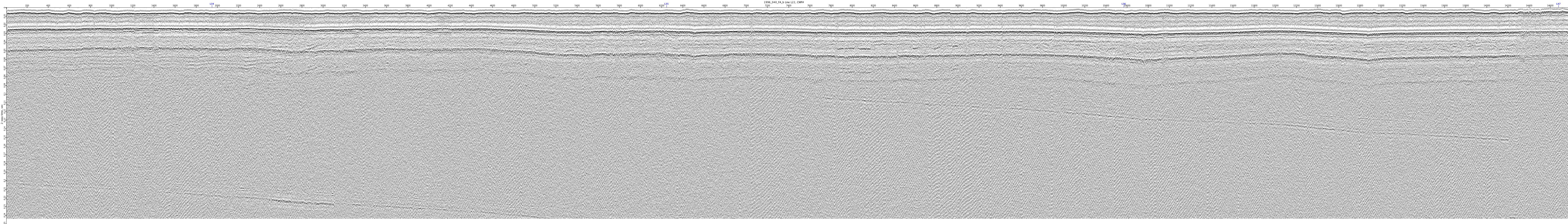
1996_040_FA_b-L22

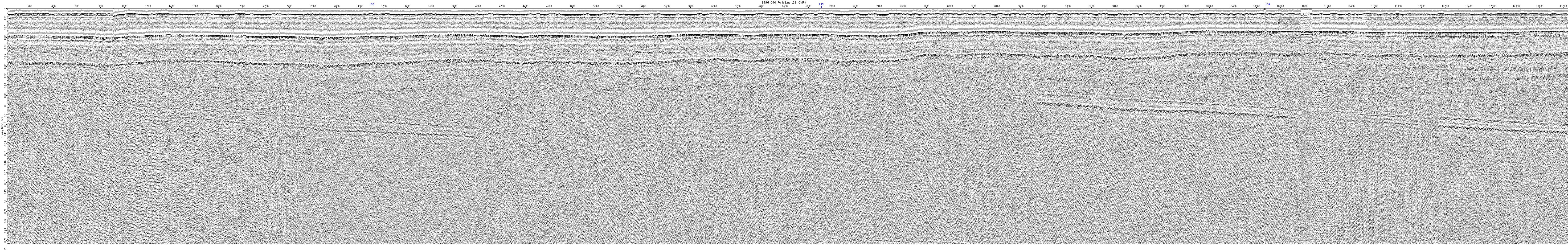
1996_040_FA_b-L23

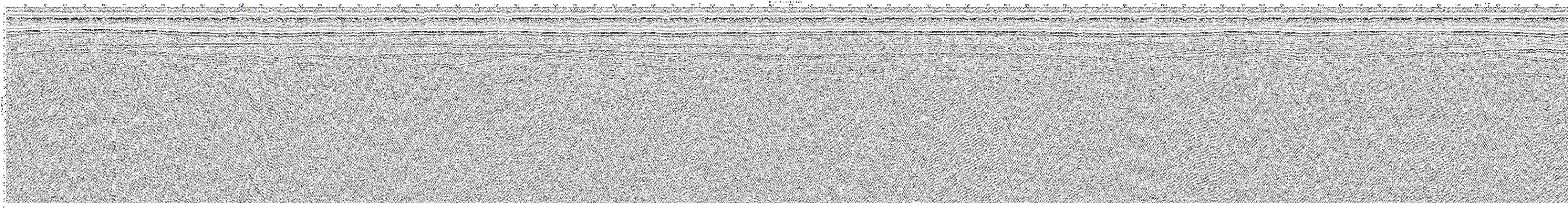
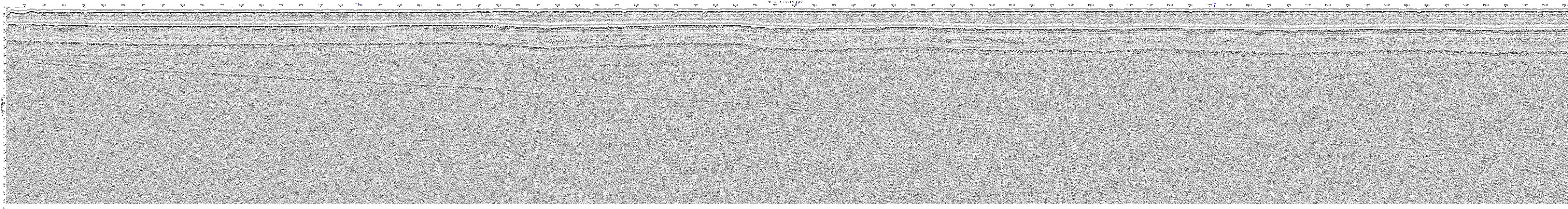
1996_040_FA_b-L24
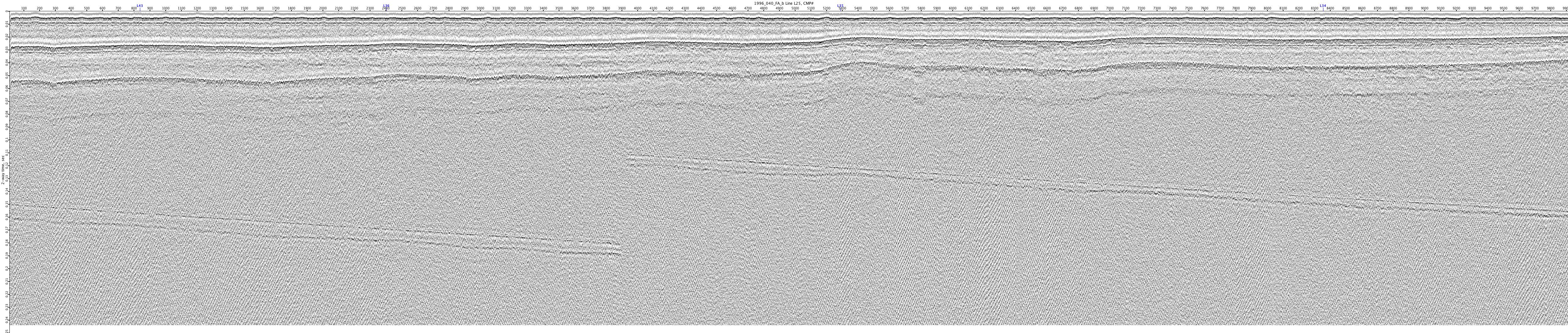
1996_040_FA_b-L25
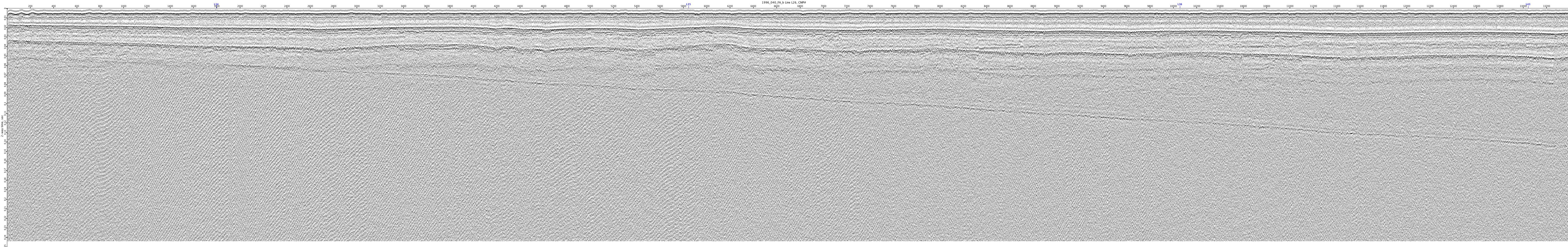
1996_040_FA_b-L26
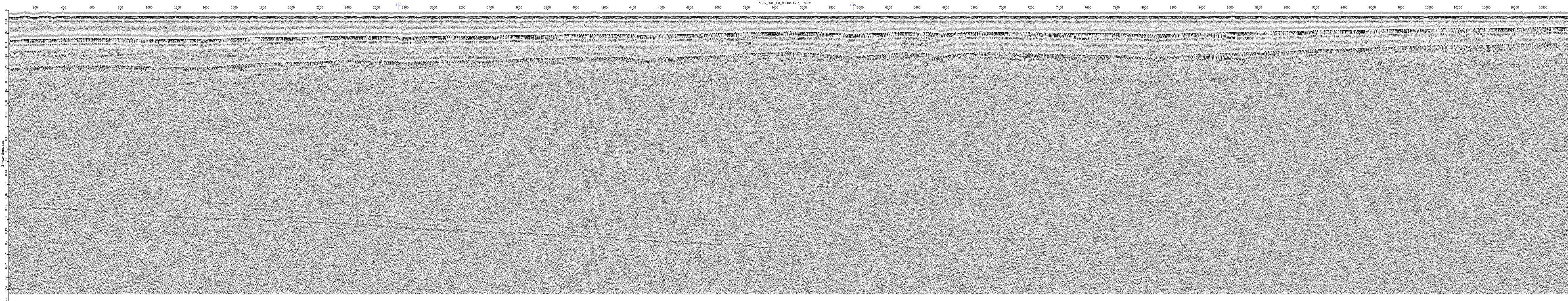
1996_040_FA_b-L27