USGS > Coastal and Marine Hazards and Resources Program > Coastal and Marine Geoscience Data System
Field Activity 1998-014-FA Images of SEGY Data
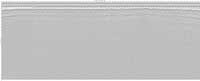
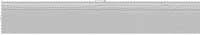
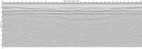
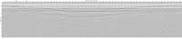
JPEG images of seismic data labeled by line numbers
Click on an image to download the full size JPG file.
1998_014_FA_b-L18S1

1998_014_FA_b-L19S1_fixed

1998_014_FA_b-L25S1
1998_014_FA_b-L26S1
1998_014_FA_b-L27S1
1998_014_FA_b-L28S1

1998_014_FA_p-L17S3

1998_014_FA_p-L18S1

1998_014_FA_p-L19S1

1998_014_FA_p-L20S1
1998_014_FA_p-L21S1
1998_014_FA_p-L22S1
1998_014_FA_p-L23S1
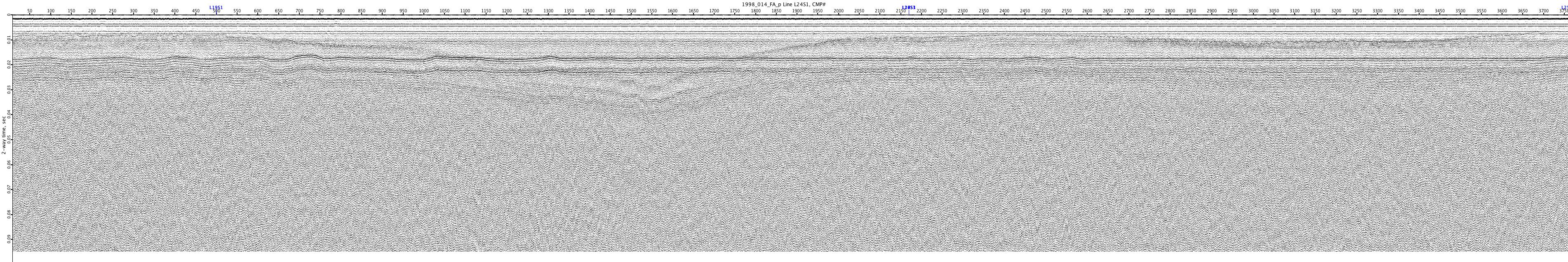
1998_014_FA_p-L24S1
1998_014_FA_p-L25S1
1998_014_FA_p-L26S1

1998_014_FA_p-L27S1

1998_014_FA_p-L28S1

1998_014_FA_p-L30S1

1998_014_FA_p-L31S1