USGS > Coastal and Marine Hazards and Resources Program > Coastal and Marine Geoscience Data System
Field Activity 2006-015-FA Images of SEGY Data
JPEG images of seismic data labeled by line numbers
Click on an image to download the full size JPG file.

2006_015_FA-l100f1

2006_015_FA-l101f1

2006_015_FA-l102f1

2006_015_FA-l103f1
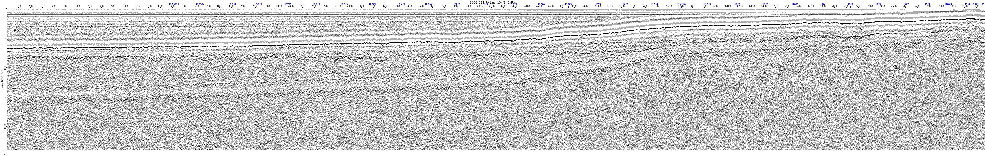
2006_015_FA-l104f1

2006_015_FA-l105f1
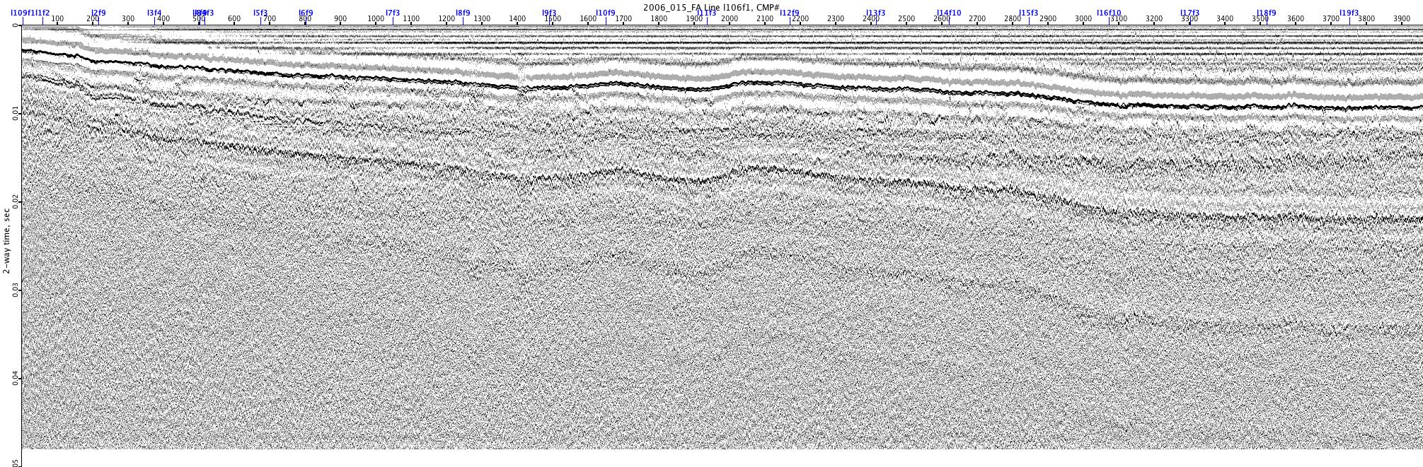
2006_015_FA-l106f1
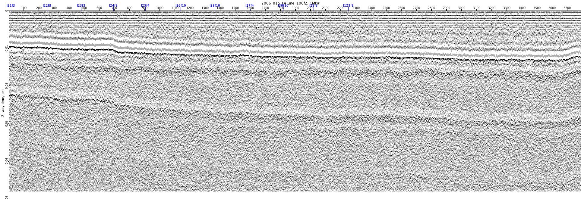
2006_015_FA-l106f2

2006_015_FA-l107f1

2006_015_FA-l108f1

2006_015_FA-l109f1

2006_015_FA-l10f1
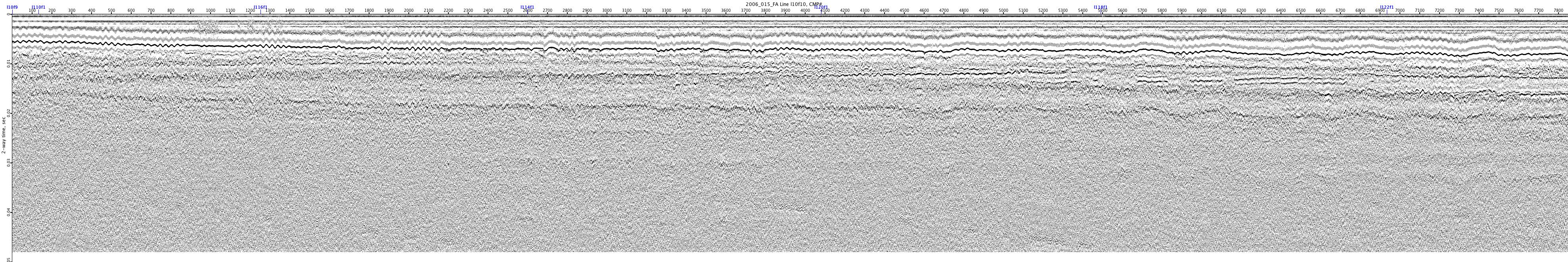
2006_015_FA-l10f10
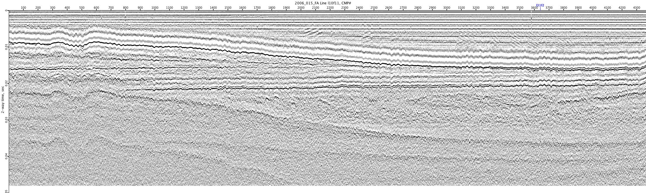
2006_015_FA-l10f11
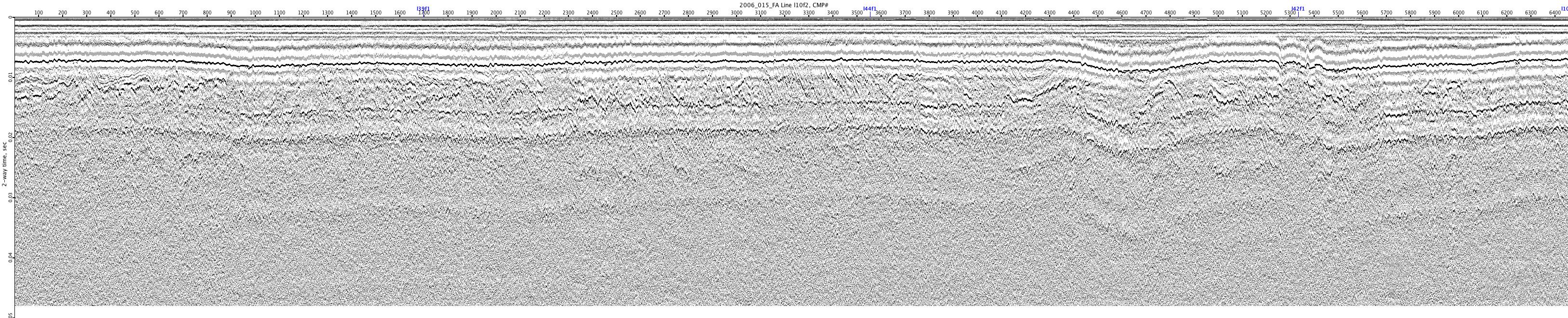
2006_015_FA-l10f2
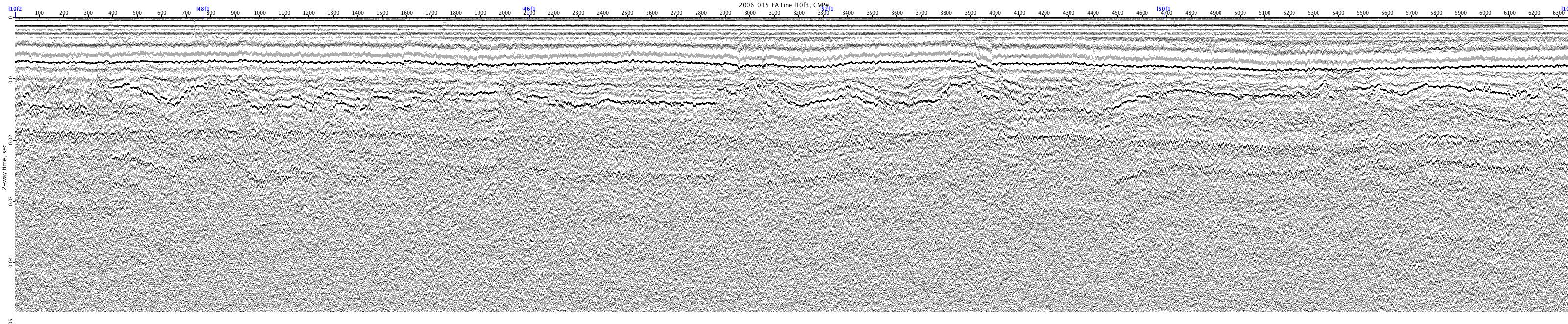
2006_015_FA-l10f3
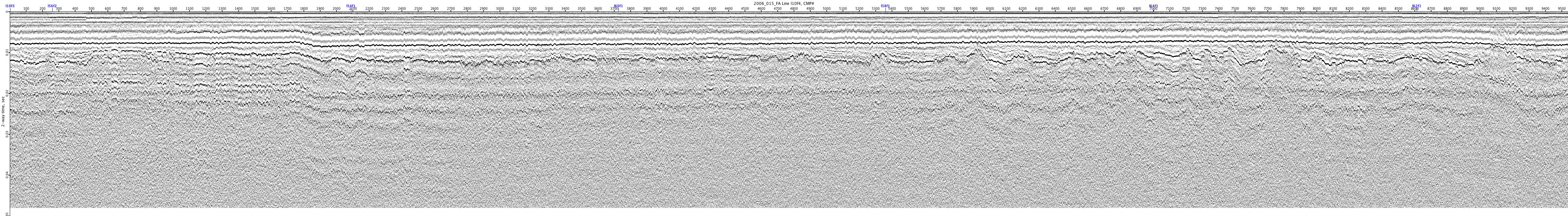
2006_015_FA-l10f4
2006_015_FA-l10f5

2006_015_FA-l10f6
2006_015_FA-l10f7
