USGS > Coastal and Marine Hazards and Resources Program > Coastal and Marine Geoscience Data System
Field Activity BP71AR Images of SEGY Data
JPEG images of seismic data labeled by line numbers
Click on an image to download the full size JPG file.
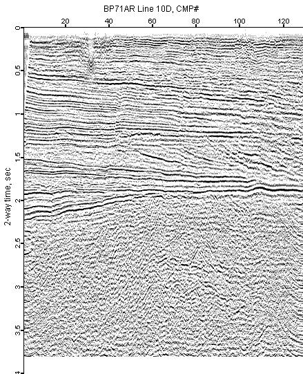
BP71AR-10D
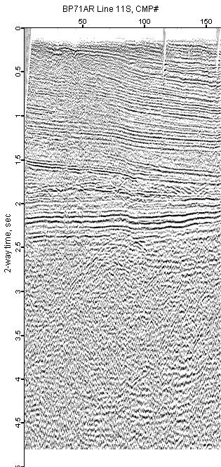
BP71AR-11S
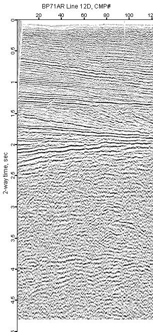
BP71AR-12D
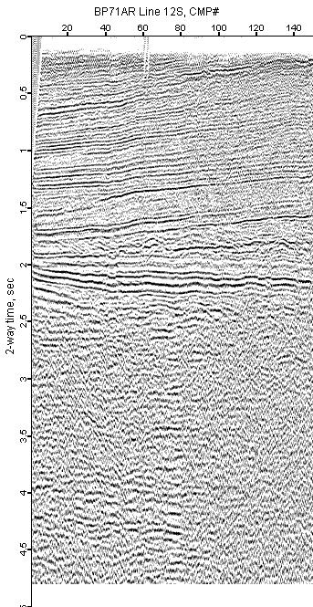
BP71AR-12S
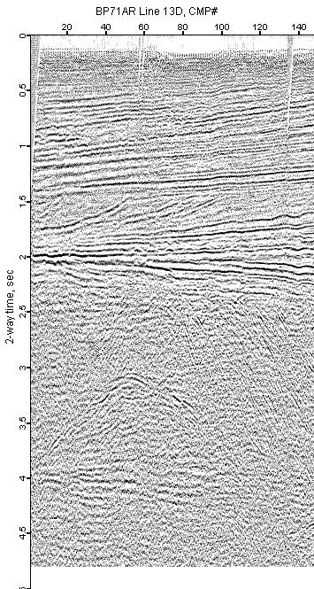
BP71AR-13D
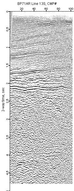
BP71AR-13S
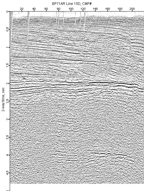
BP71AR-15D
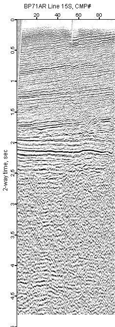
BP71AR-15S
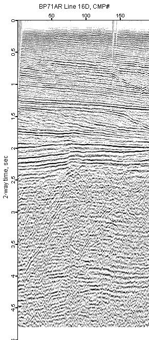
BP71AR-16D
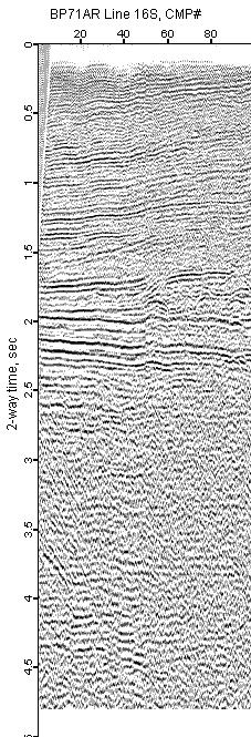
BP71AR-16S
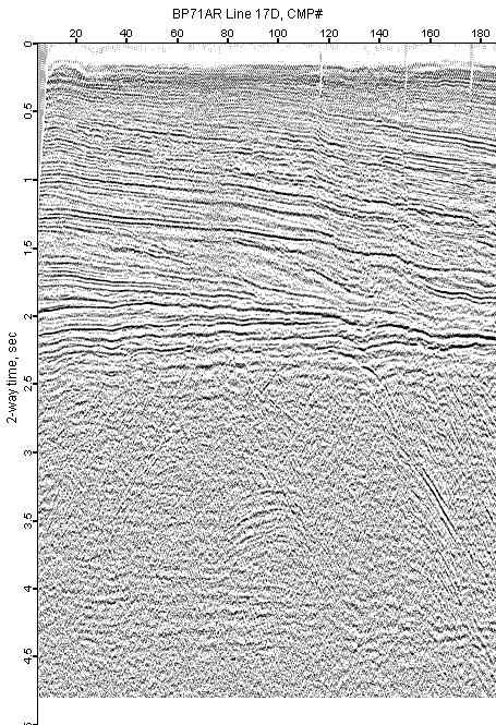
BP71AR-17D
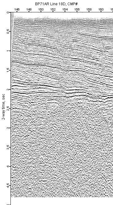
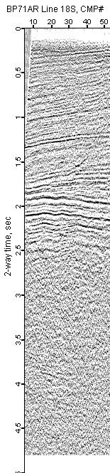
BP71AR-18D
BP71AR-18S
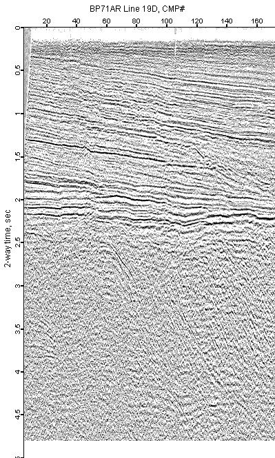
BP71AR-19D
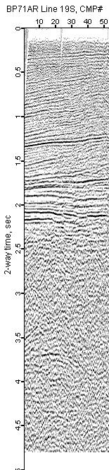
BP71AR-19S
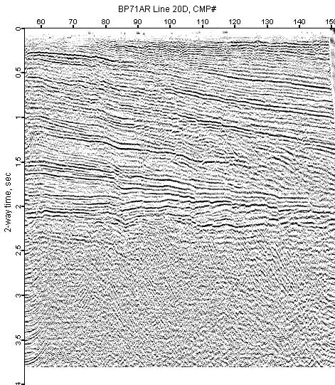
BP71AR-20D
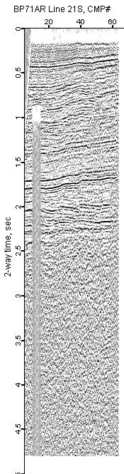
BP71AR-21S
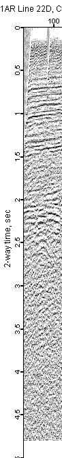
BP71AR-22D
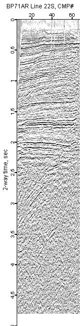
BP71AR-22S
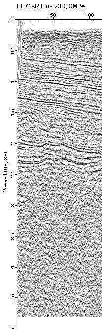
BP71AR-23D
