USGS > Coastal and Marine Hazards and Resources Program > Coastal and Marine Geoscience Data System
Field Activity F486BS Images of SEGY Data
JPEG images of seismic data labeled by line numbers
Click on an image to download the full size JPG file.

F486BS-110
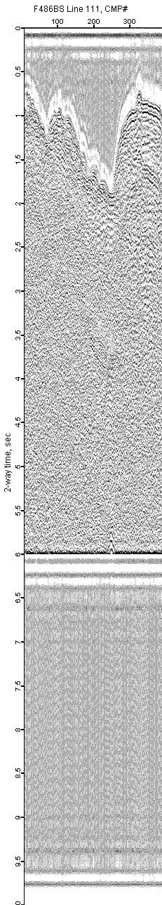
F486BS-111

F486BS-112
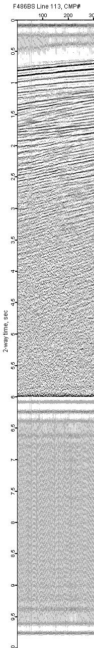
F486BS-113

F486BS-114

F486BS-115

F486BS-116
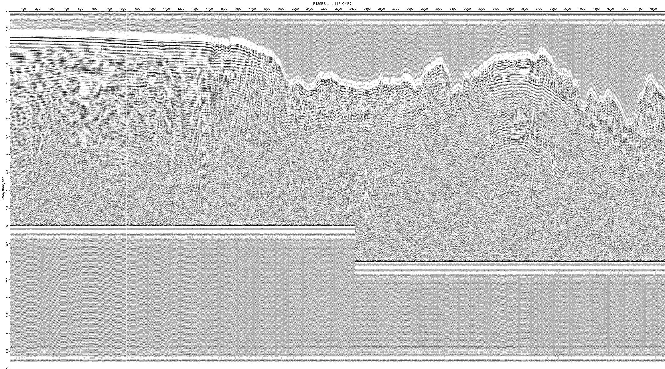
F486BS-117
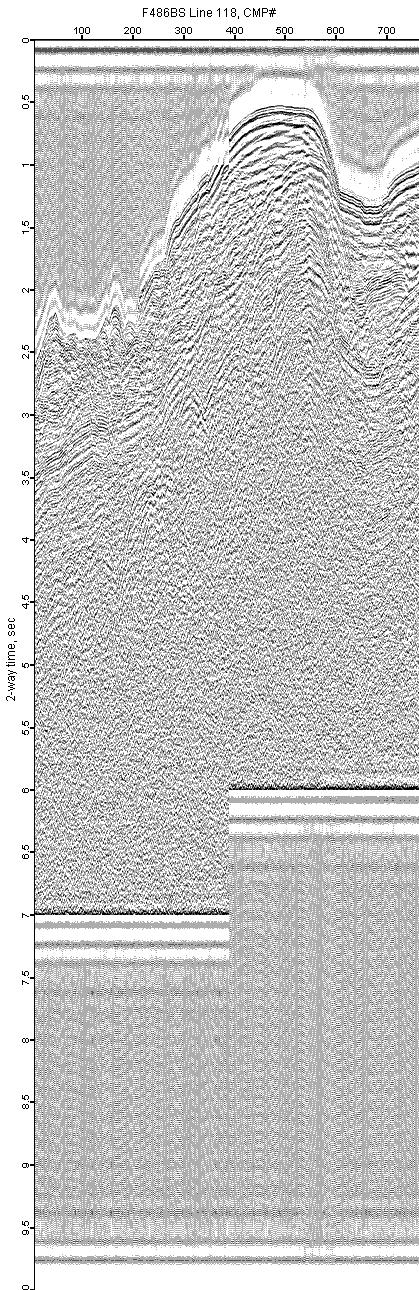
F486BS-118
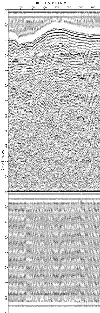
F486BS-119
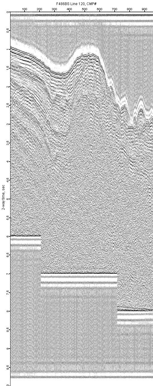
F486BS-120
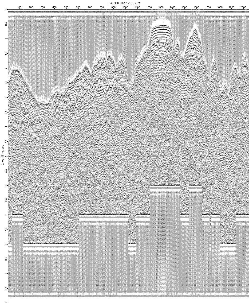
F486BS-121
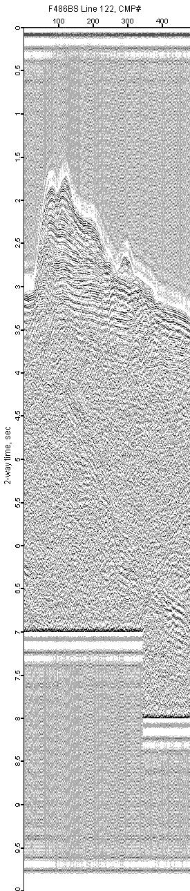
F486BS-122
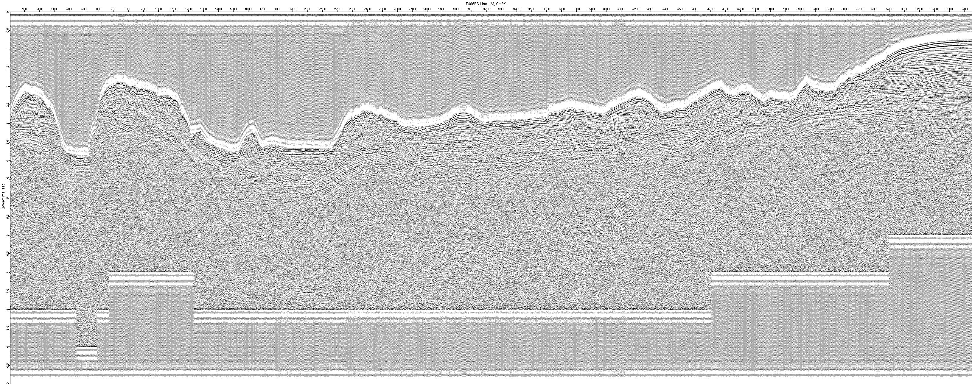
F486BS-123
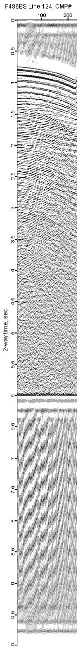
F486BS-124
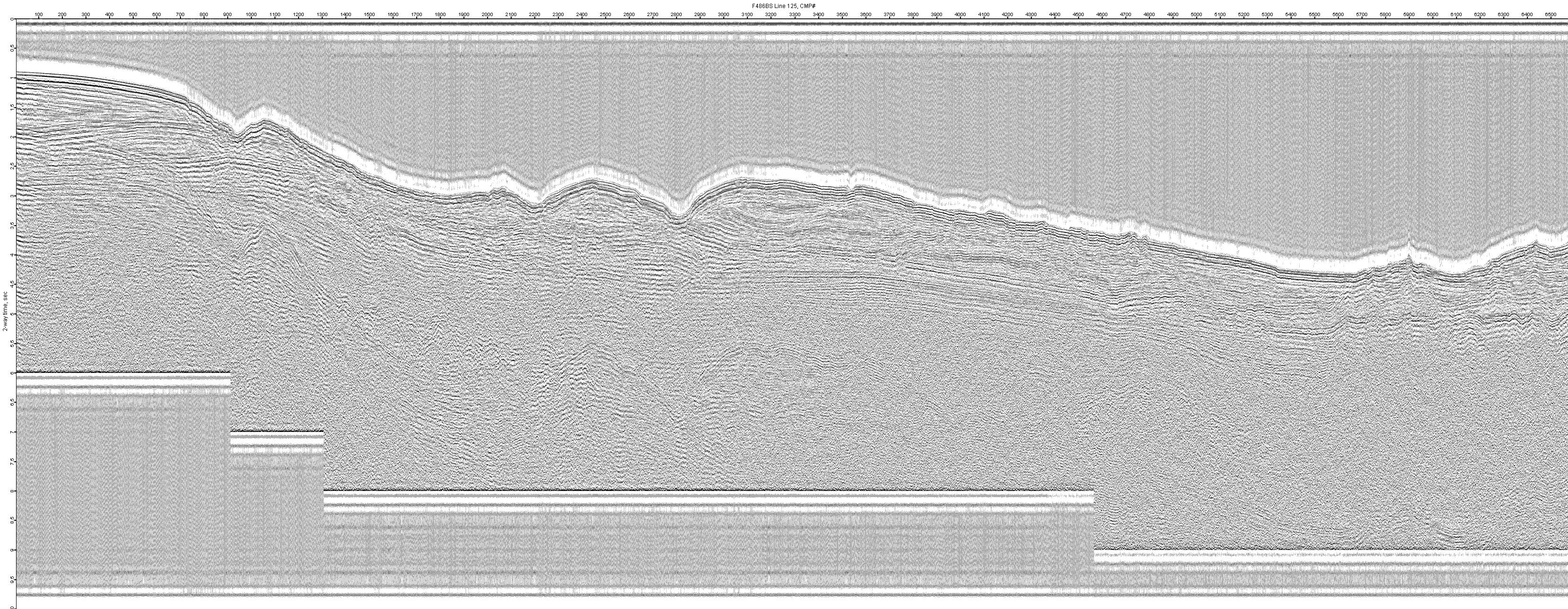
F486BS-125
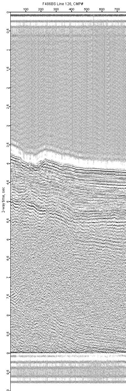
F486BS-126

F486BS-127
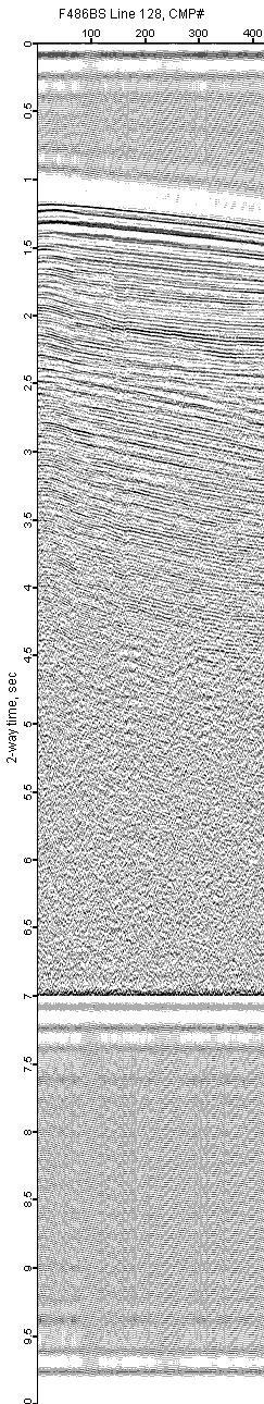
F486BS-128
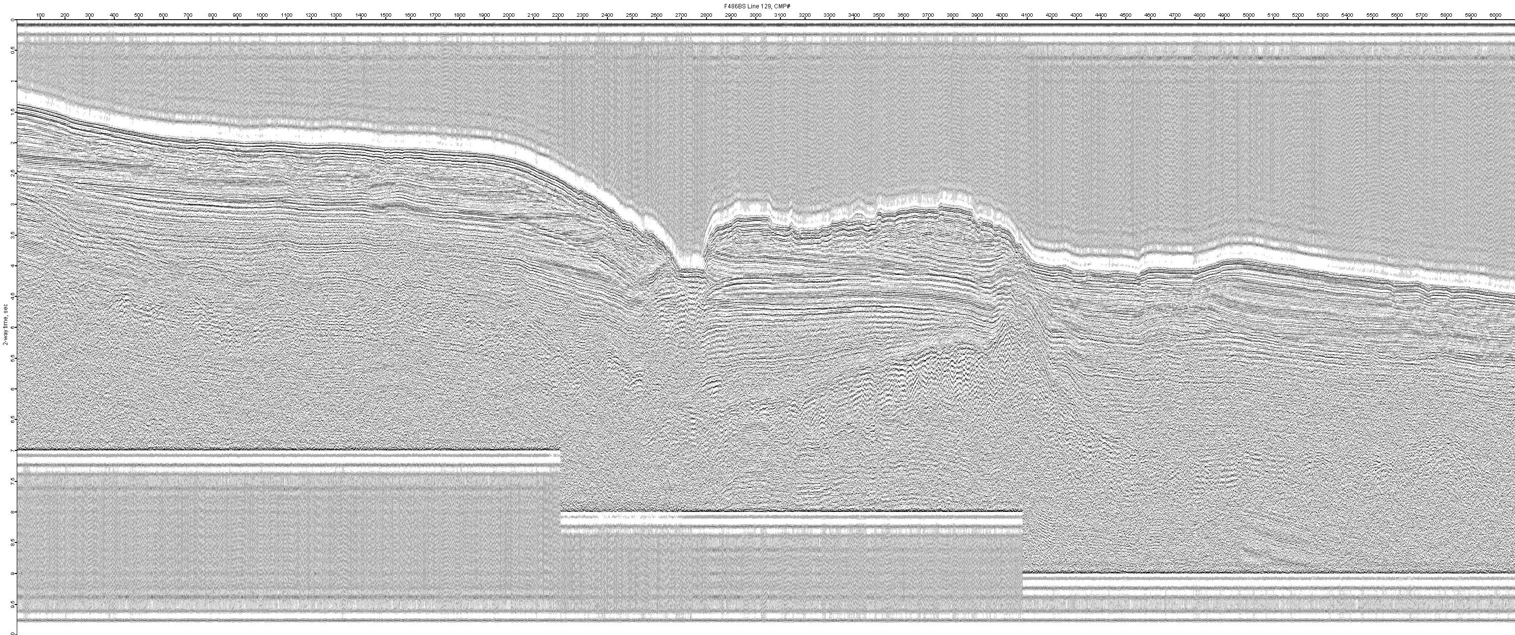
F486BS-129
