USGS > Coastal and Marine Hazards and Resources Program > Coastal and Marine Geoscience Data System
Field Activity G395PS Images of SEGY Data
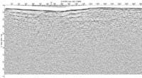
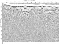
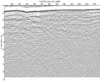
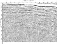
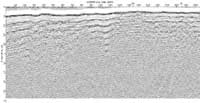
JPEG images of seismic data labeled by line numbers
Click on an image to download the full size JPG file.
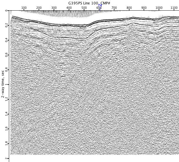
G395PS-100
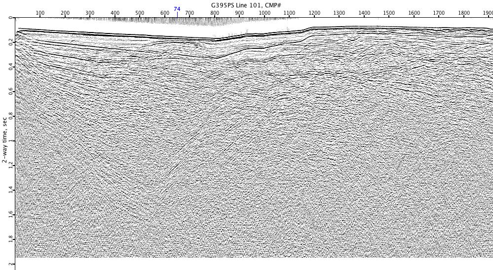
G395PS-101
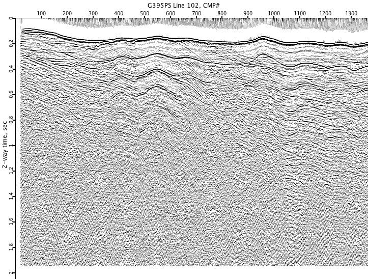
G395PS-102
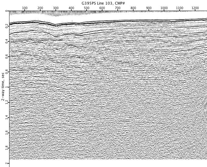
G395PS-103
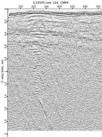
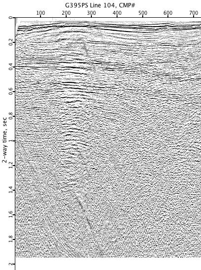
G395PS-104
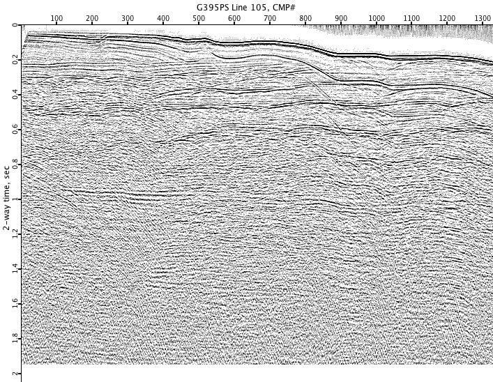
G395PS-105
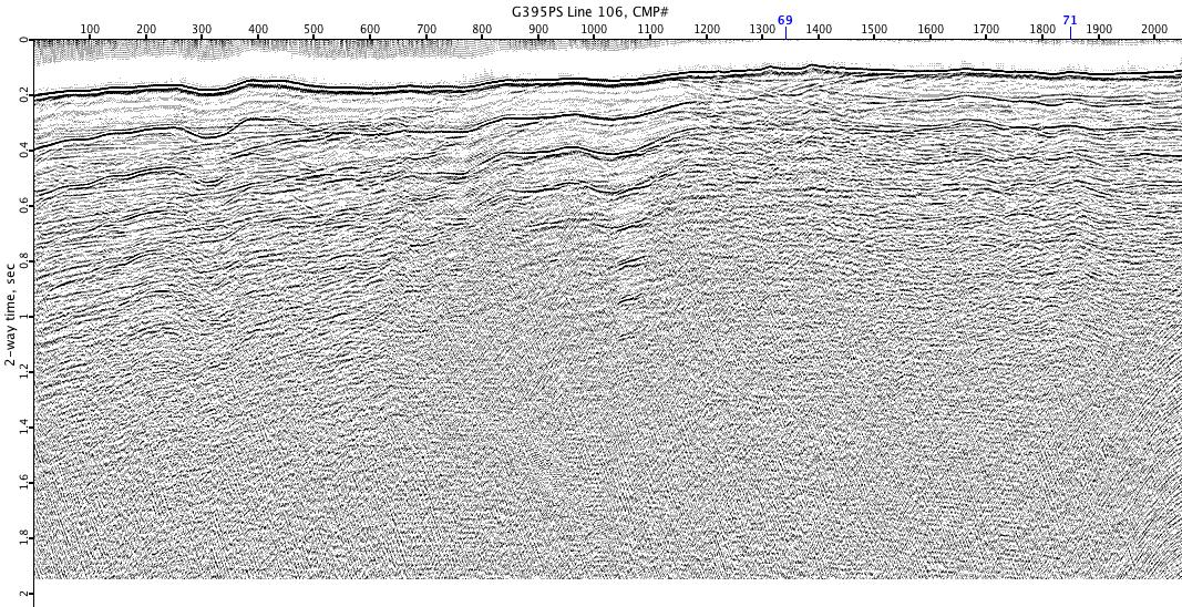
G395PS-106
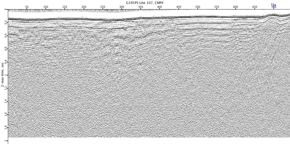
G395PS-107
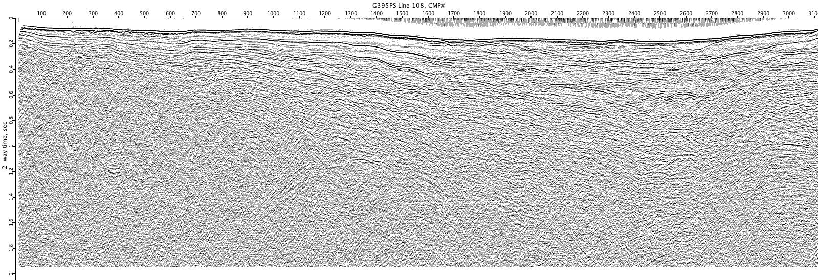
G395PS-108
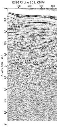
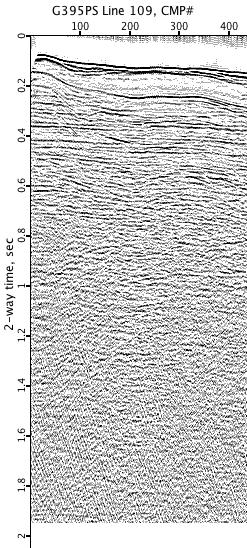
G395PS-109
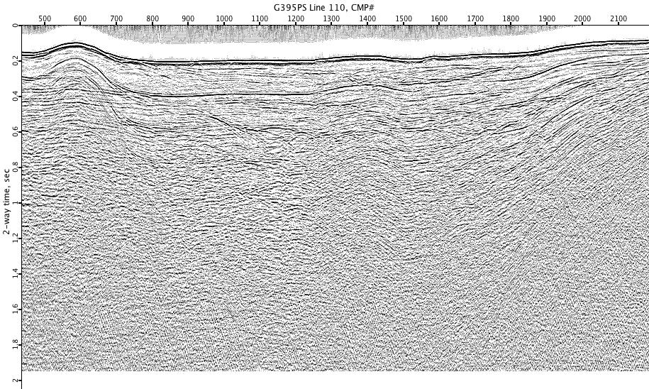
G395PS-110
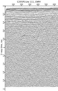
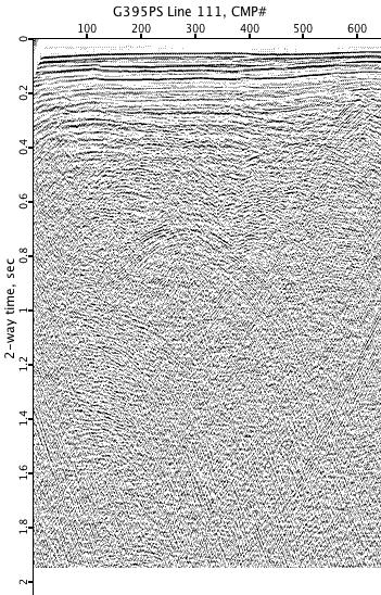
G395PS-111
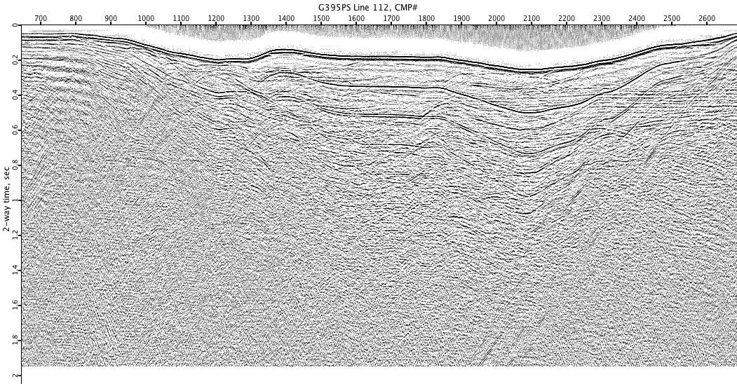
G395PS-112
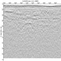
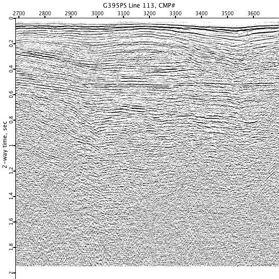
G395PS-113
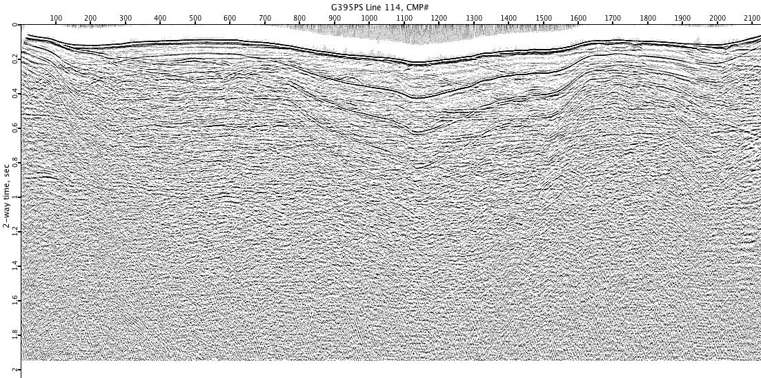
G395PS-114
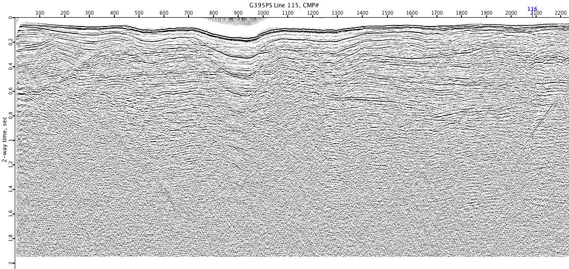
G395PS-115
G395PS-116
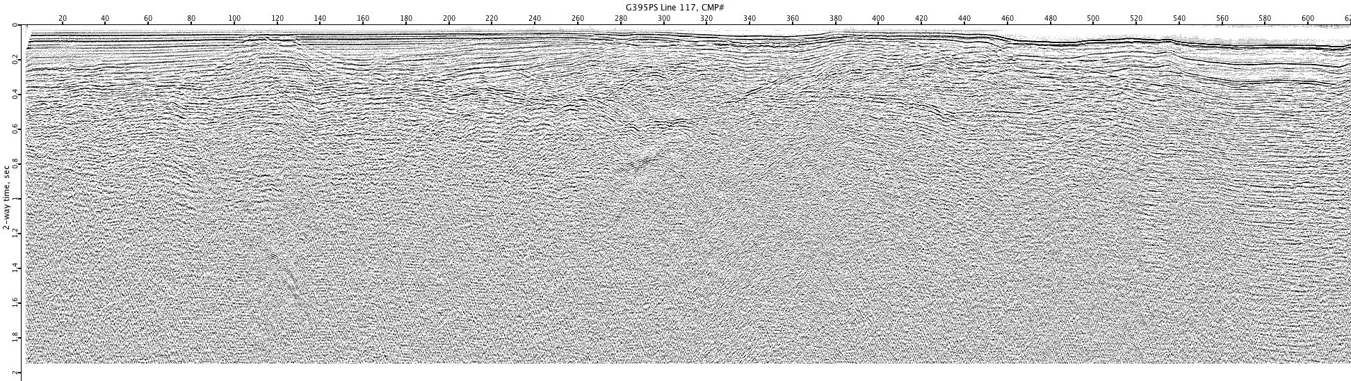
G395PS-117
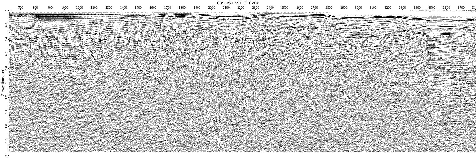
G395PS-118
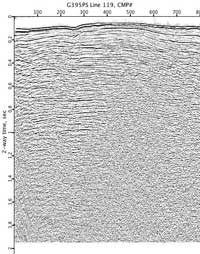
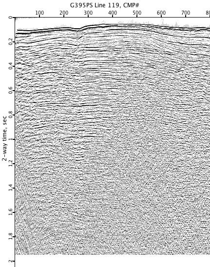
G395PS-119