USGS > Coastal and Marine Hazards and Resources Program > Coastal and Marine Geoscience Data System
Field Activity L582SP Images of SEGY Data
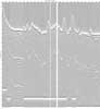
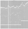
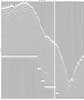
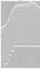
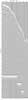
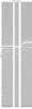
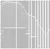
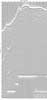
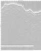
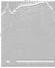
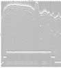
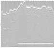
JPEG images of seismic data labeled by line numbers
Click on an image to download the full size JPG file.
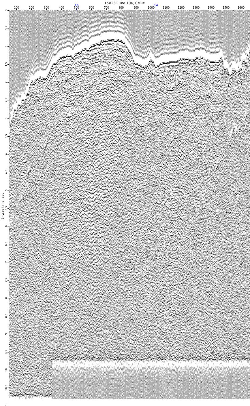
L582SP-10a
L582SP-10b
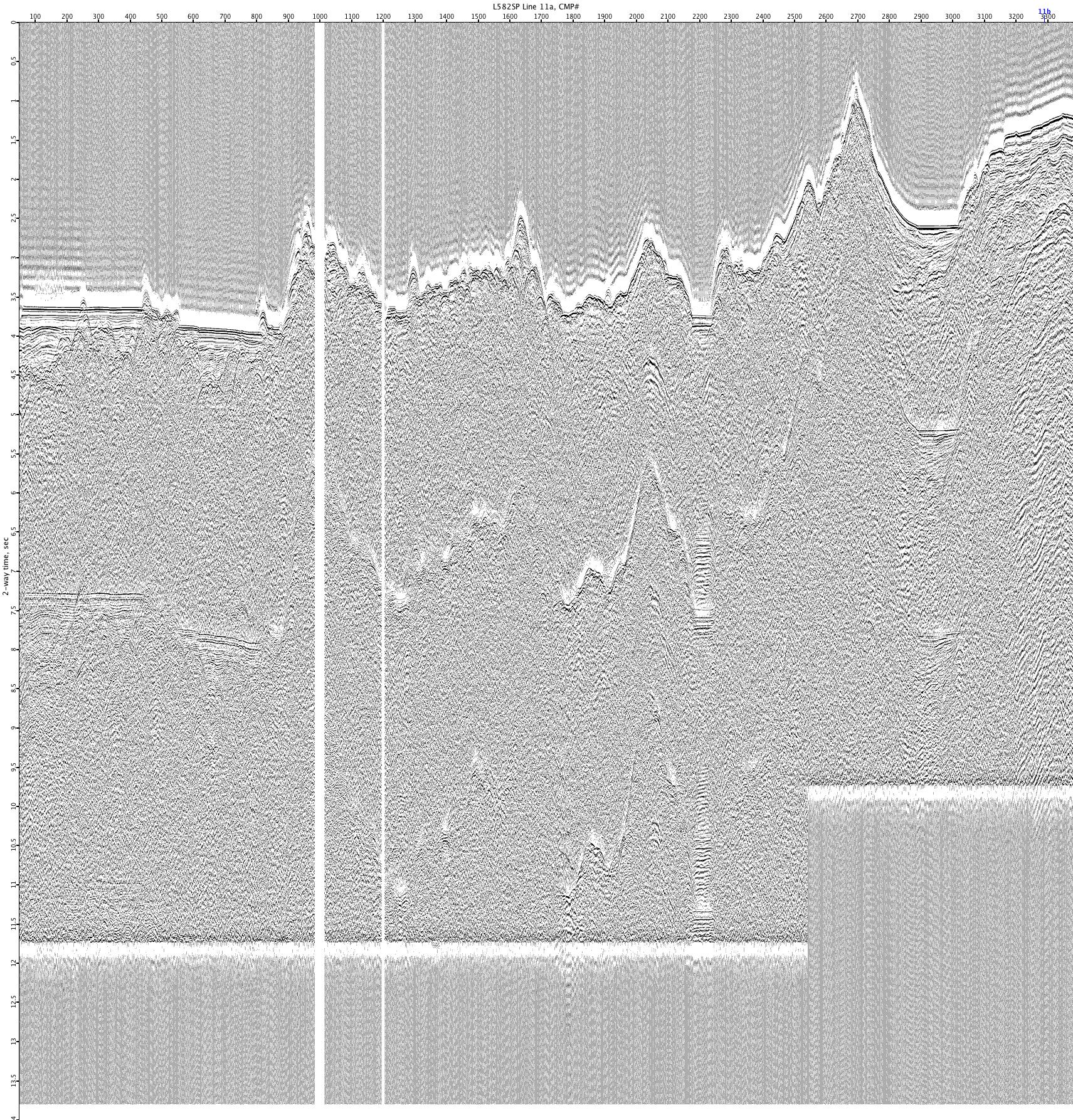
L582SP-11a
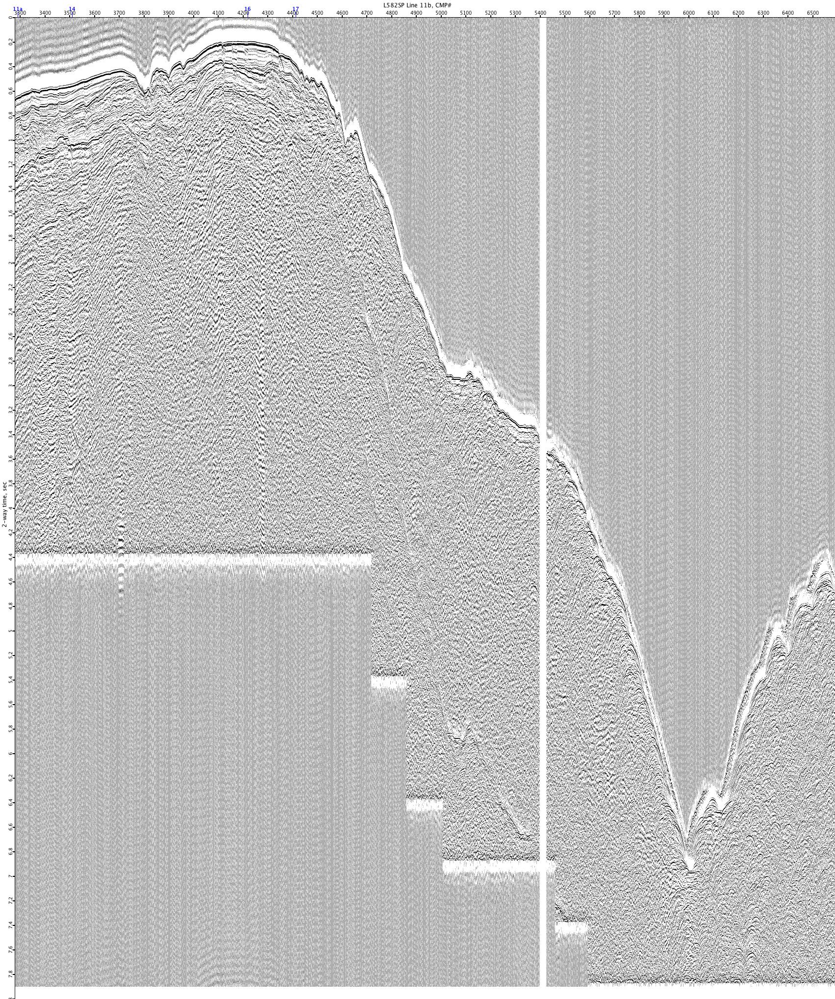
L582SP-11b

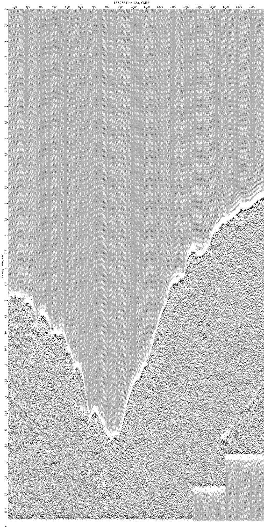
L582SP-12a
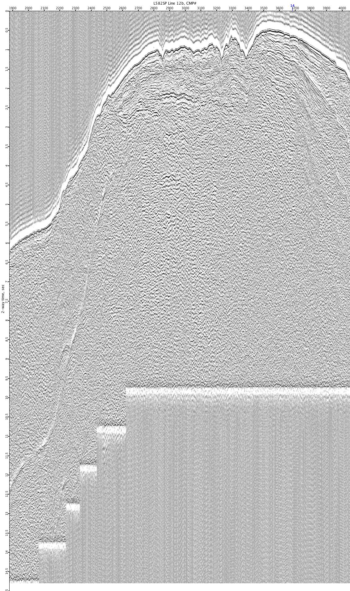
L582SP-12b
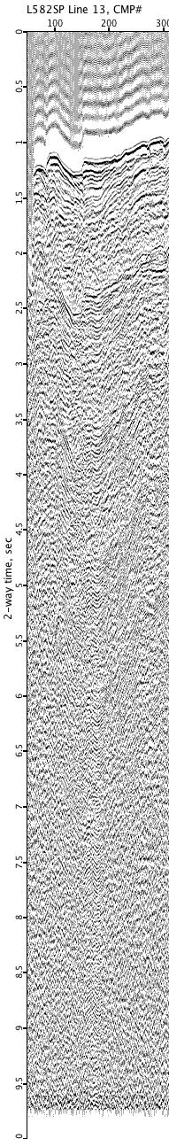
L582SP-13
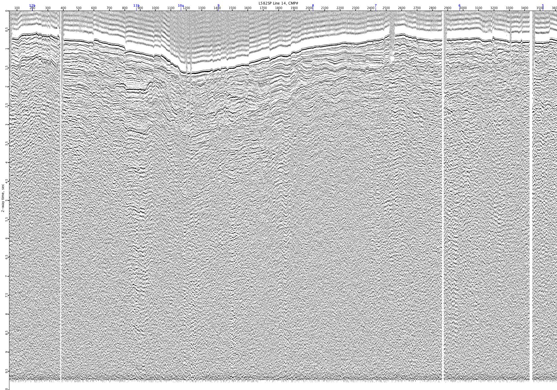
L582SP-14
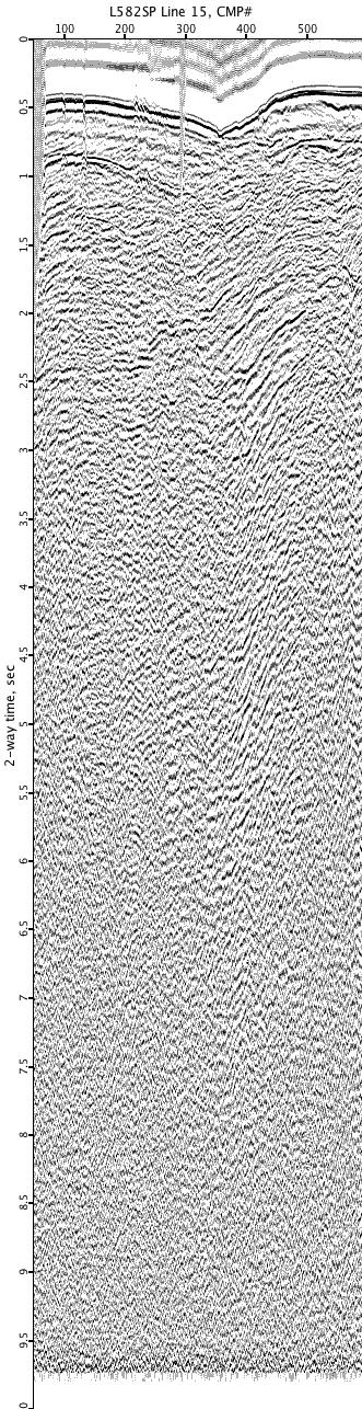
L582SP-15
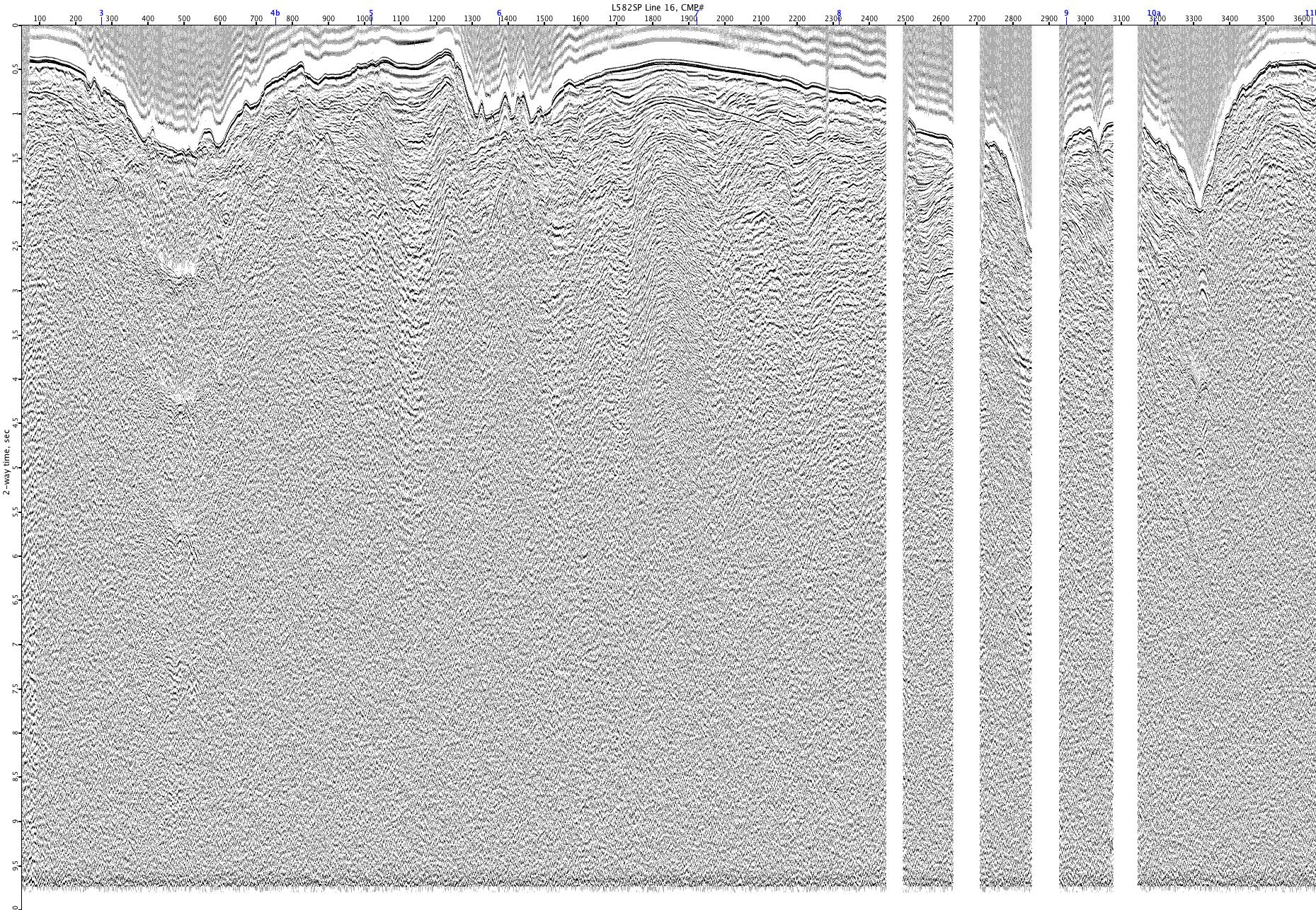
L582SP-16
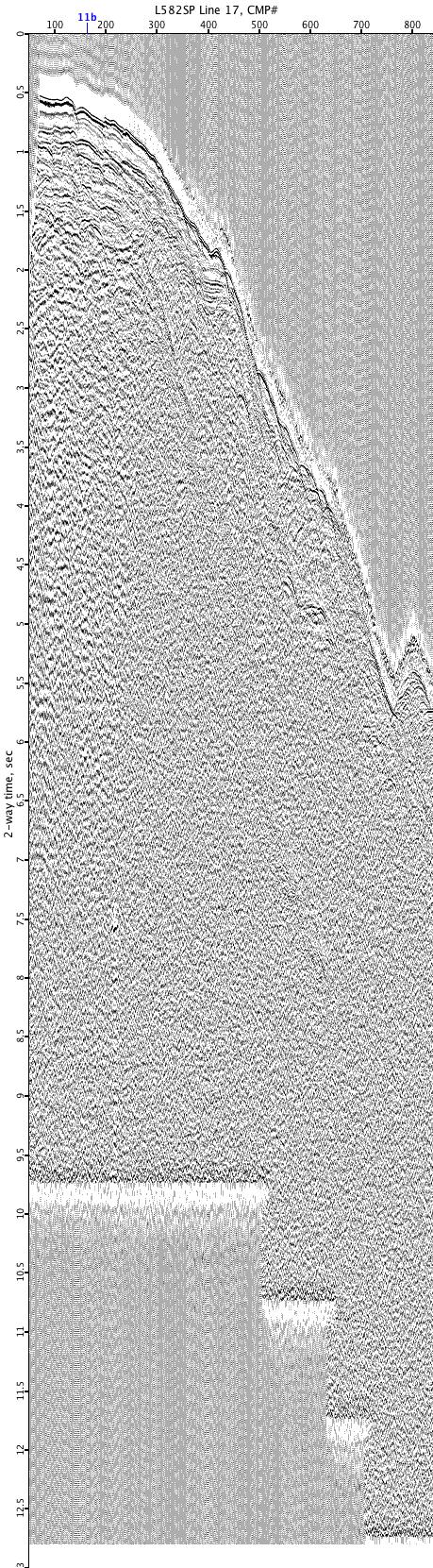
L582SP-17
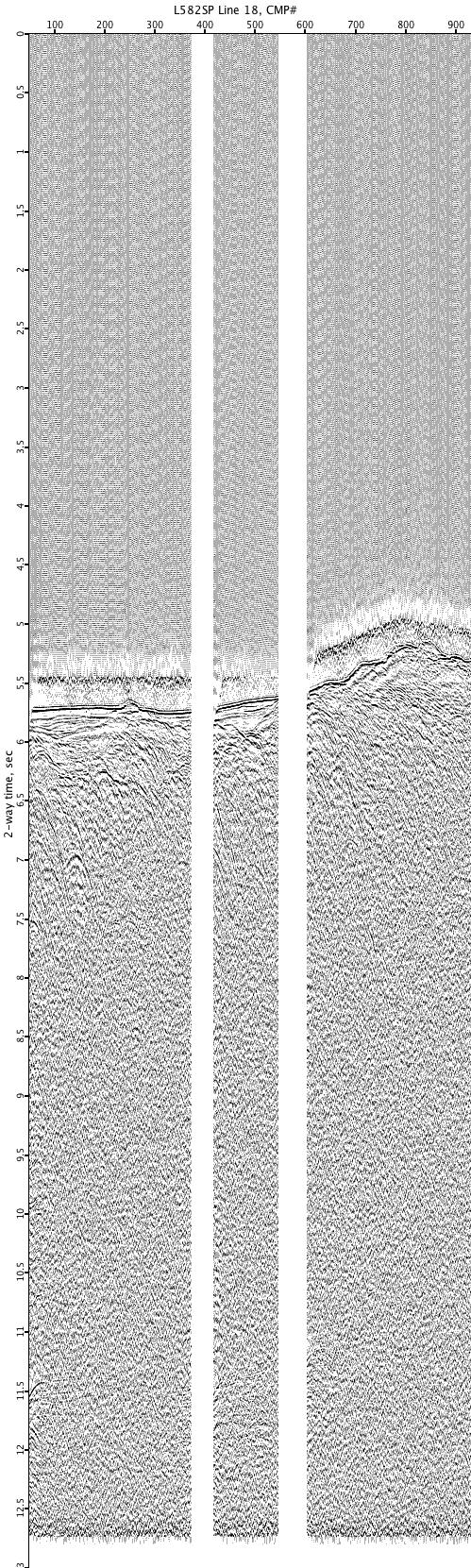
L582SP-18
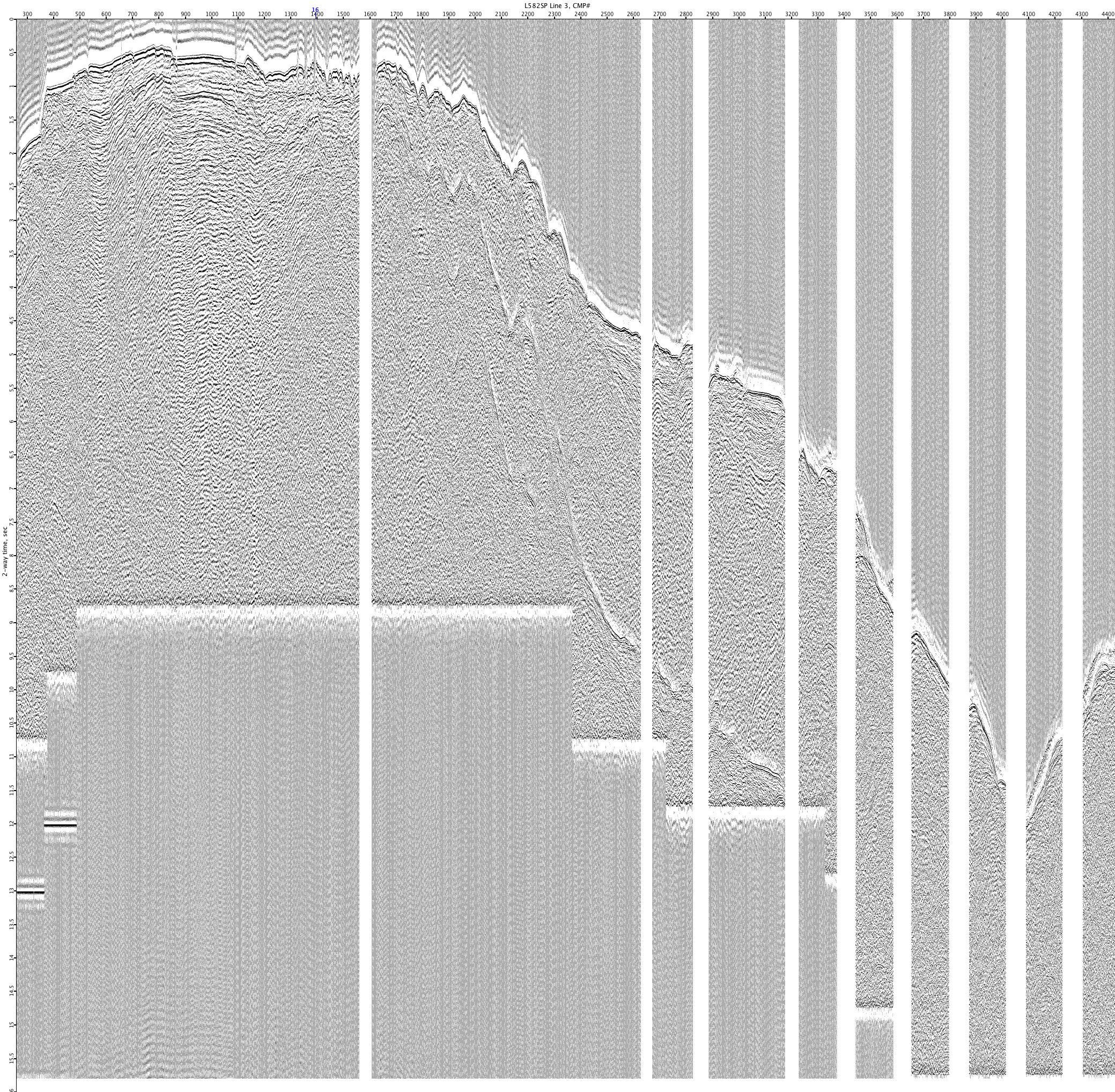
L582SP-3

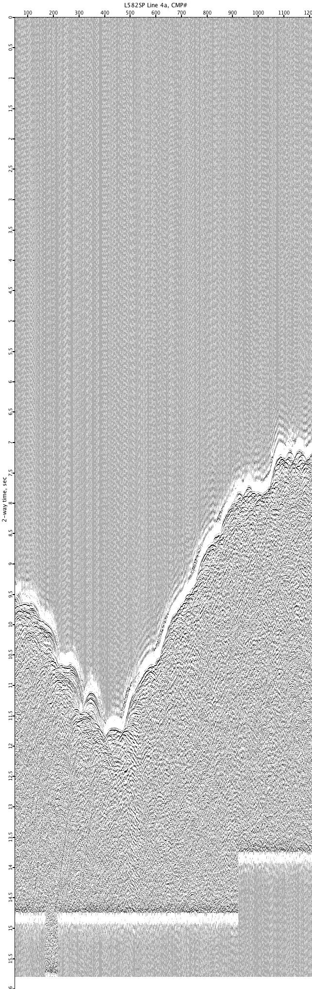
L582SP-4a
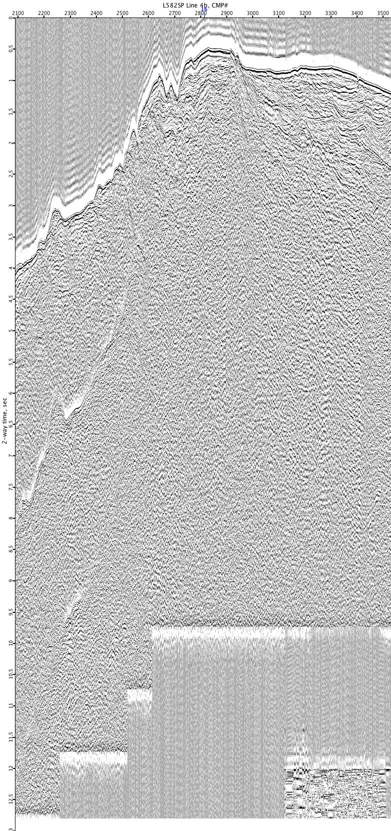
L582SP-4b

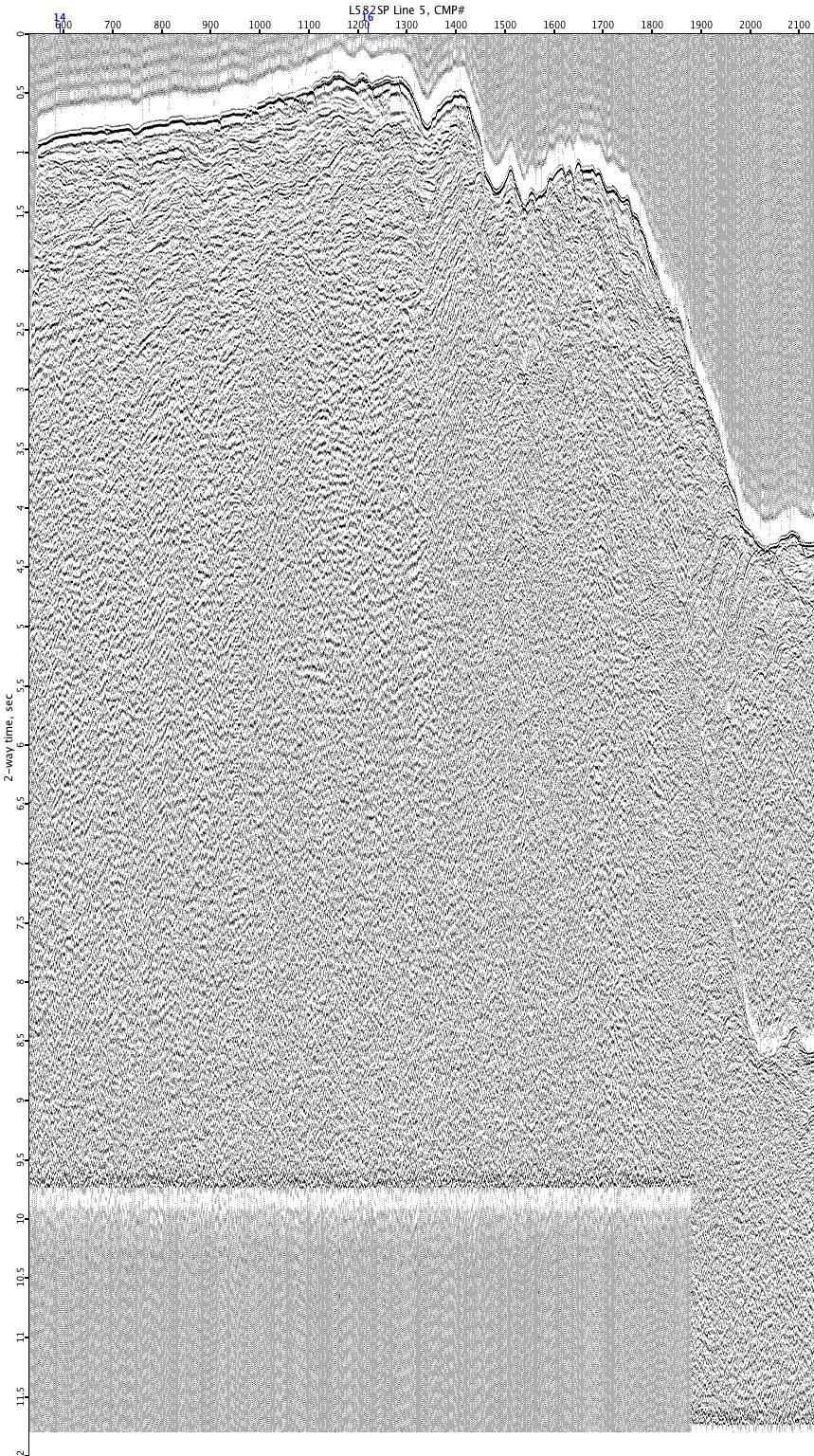
L582SP-5
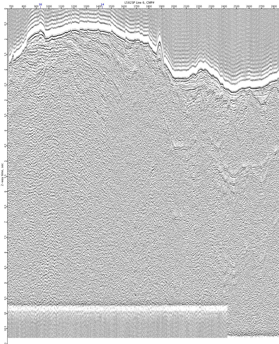
L582SP-6
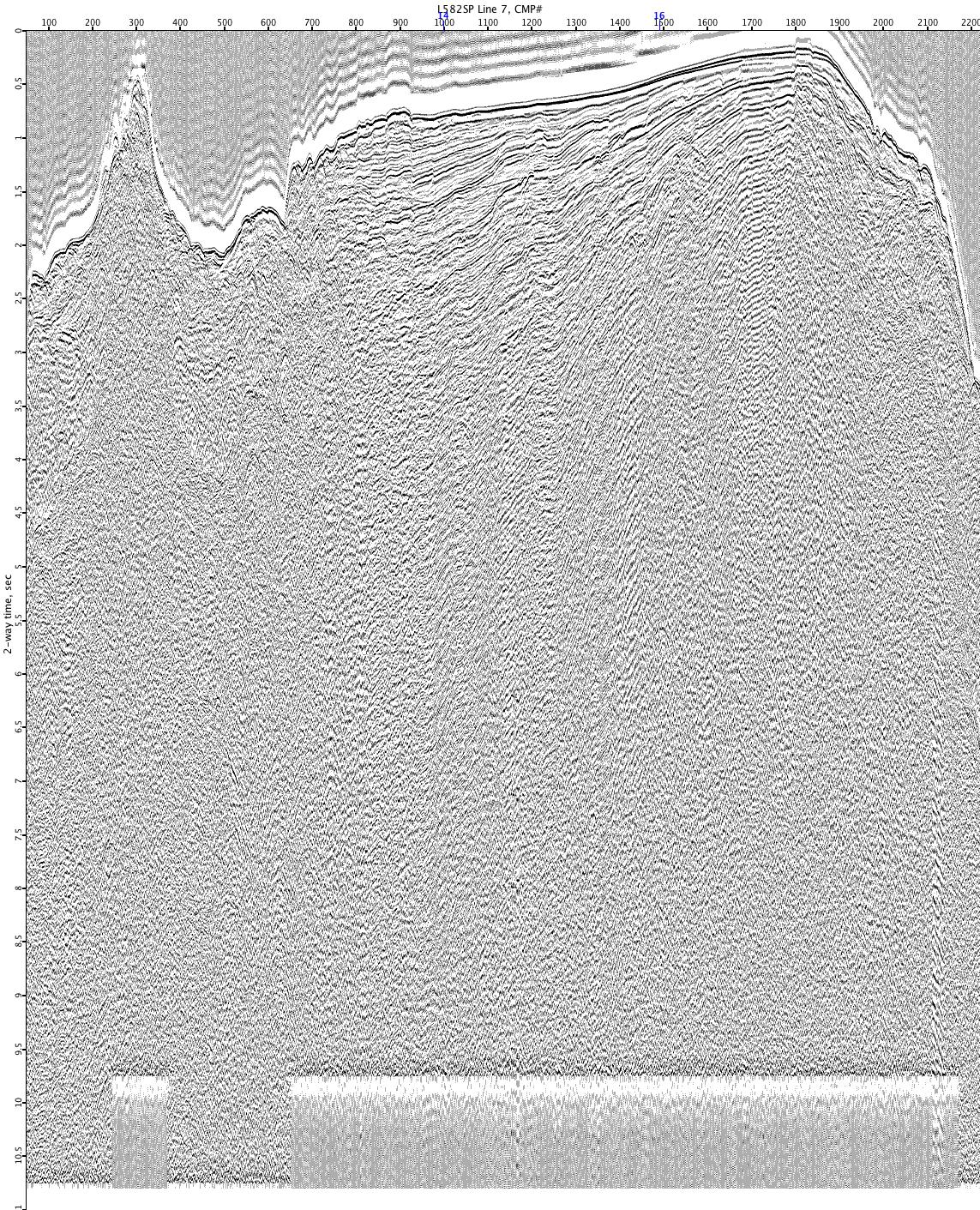
L582SP-7
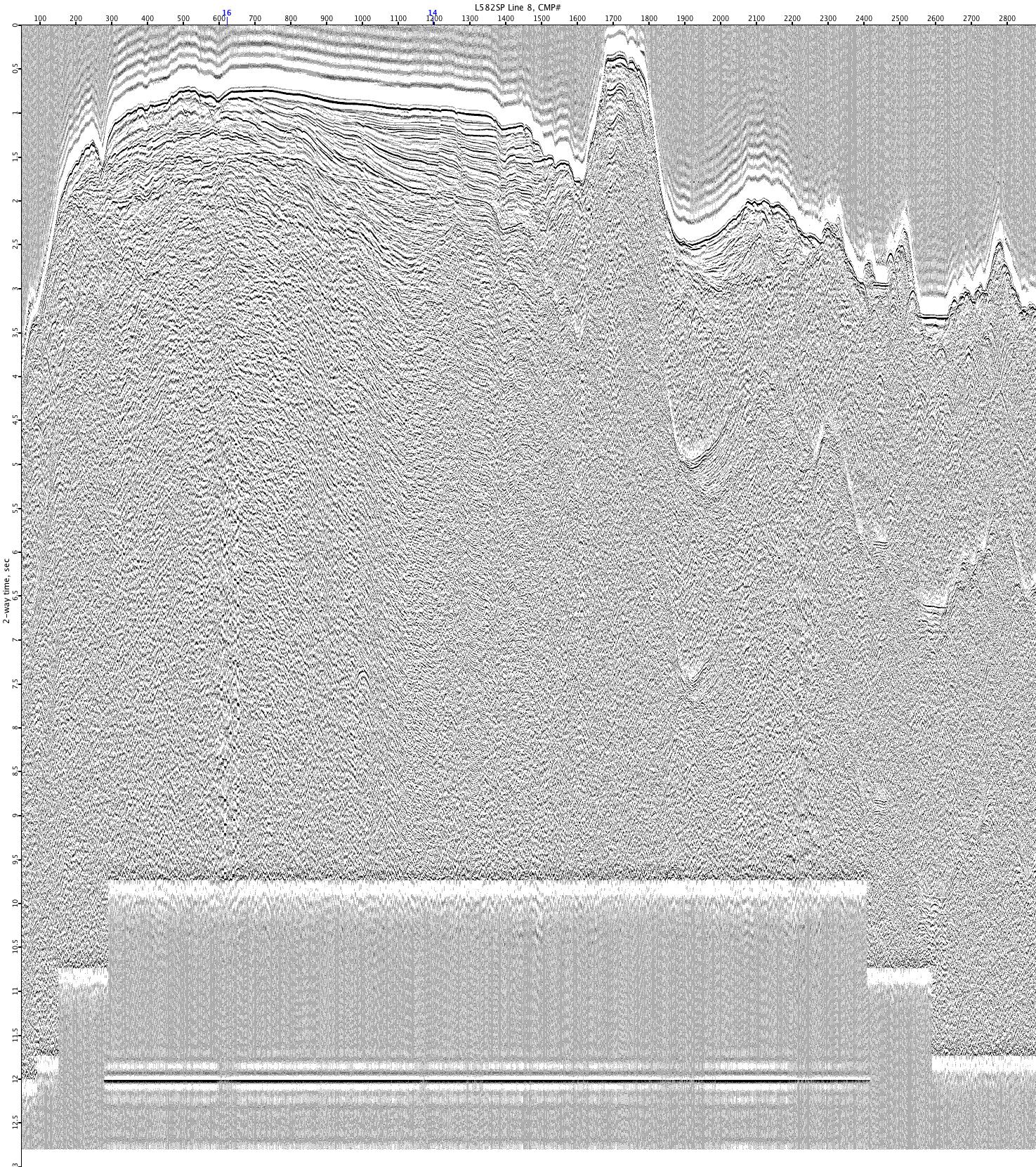
L582SP-8
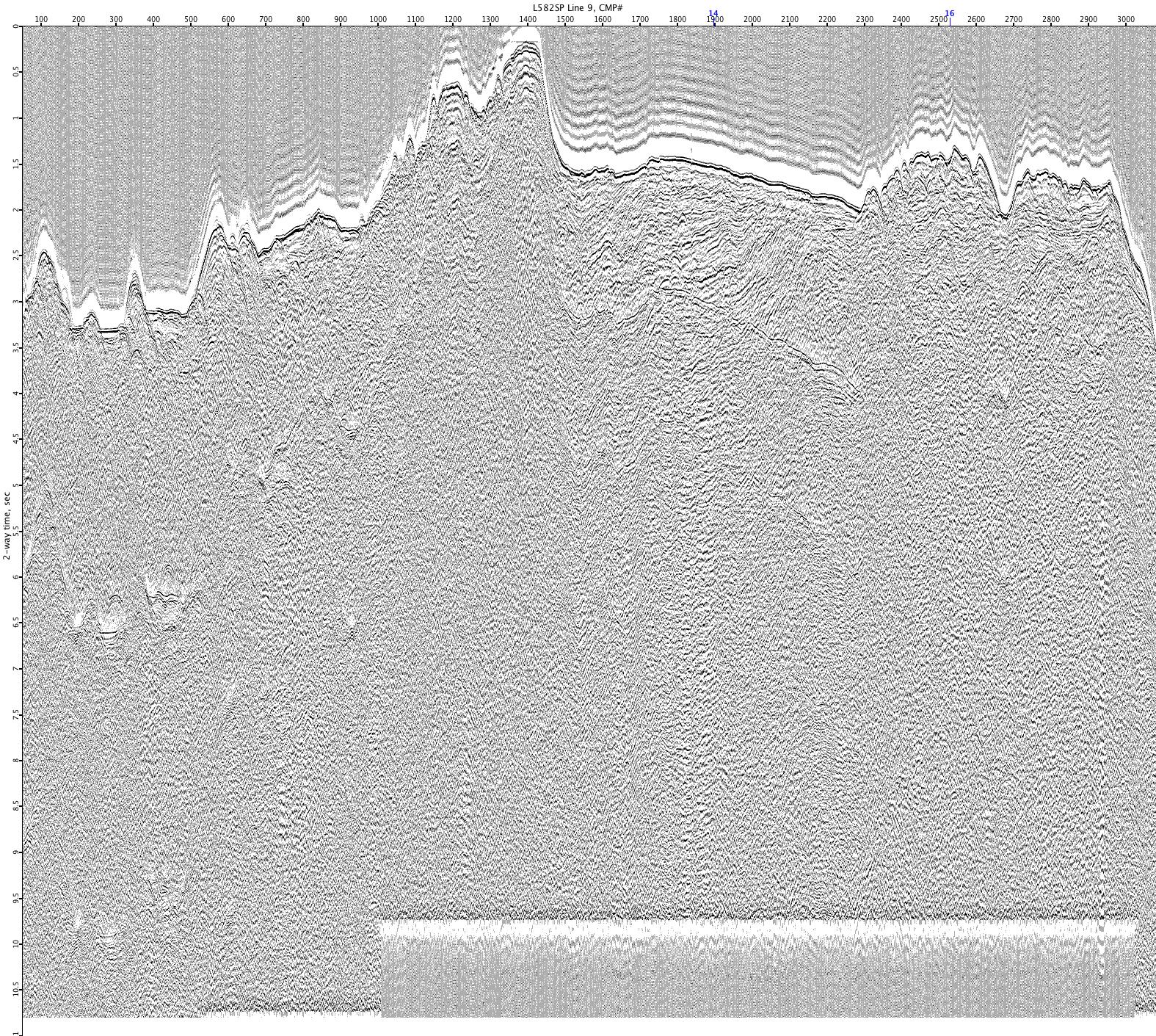
L582SP-9