USGS > Coastal and Marine Hazards and Resources Program > Coastal and Marine Geoscience Data System
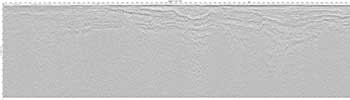
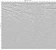
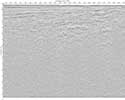
Field Activity L678AR Images of SEGY Data
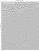
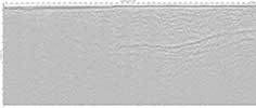
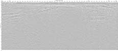
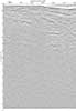
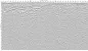
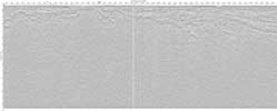
JPEG images of seismic data labeled by line numbers
Click on an image to download the full size JPG file.
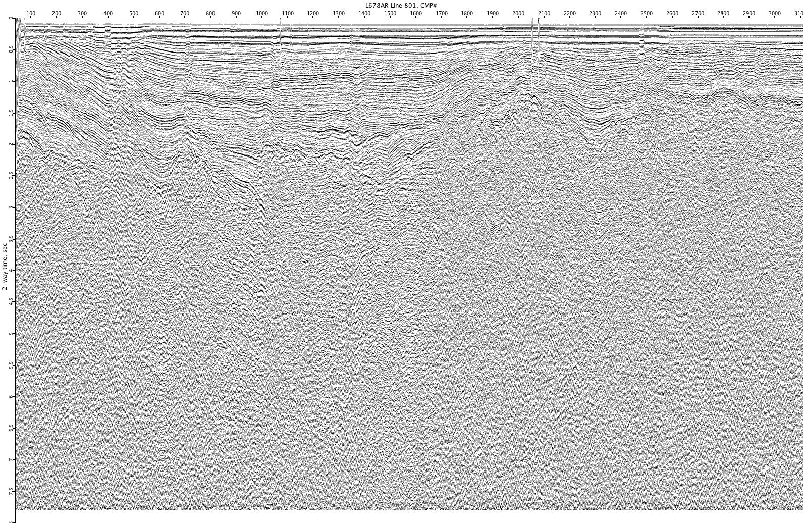
L678AR-801
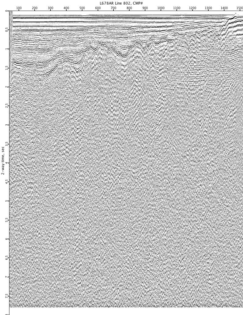
L678AR-802
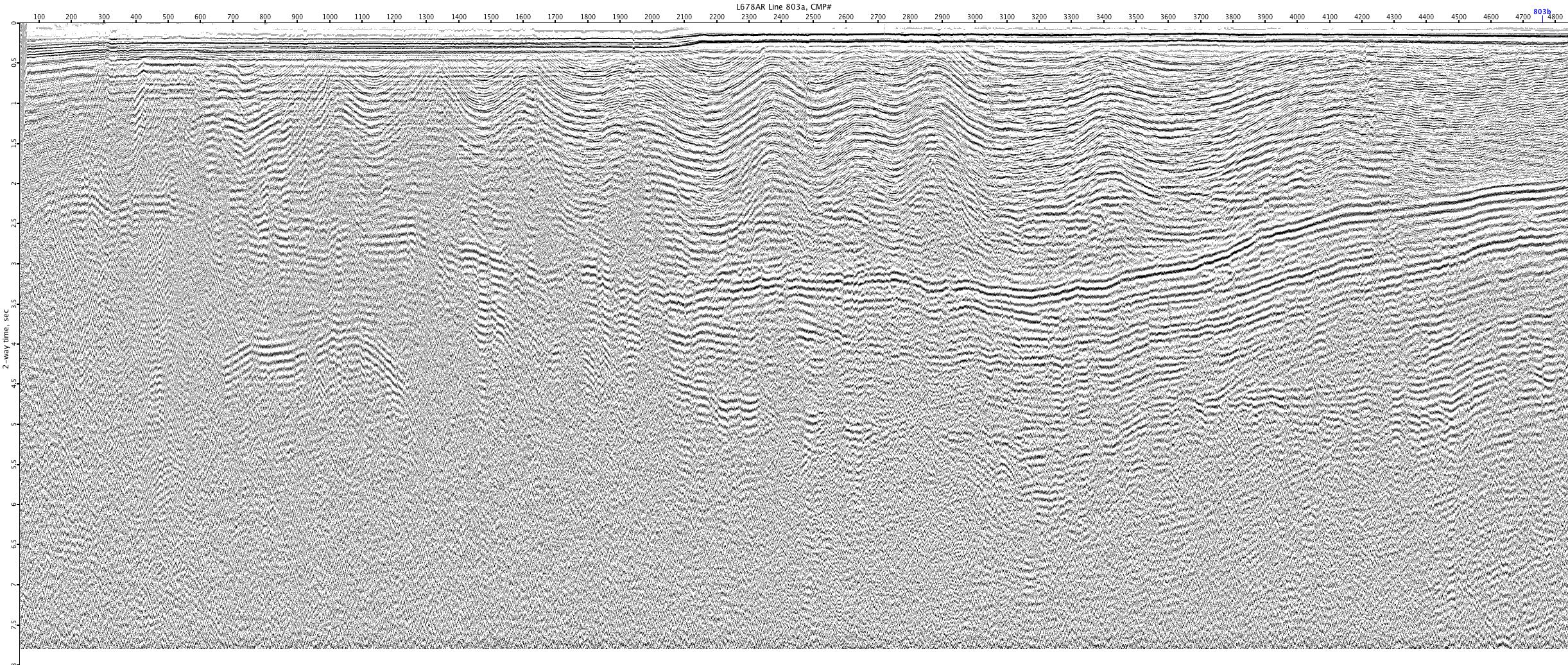
L678AR-803a
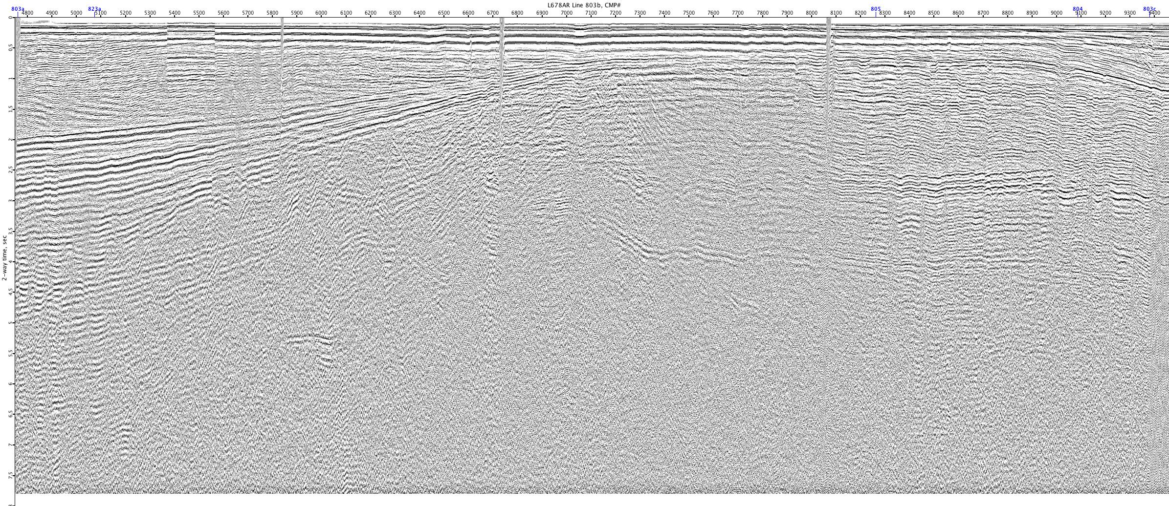
L678AR-803b
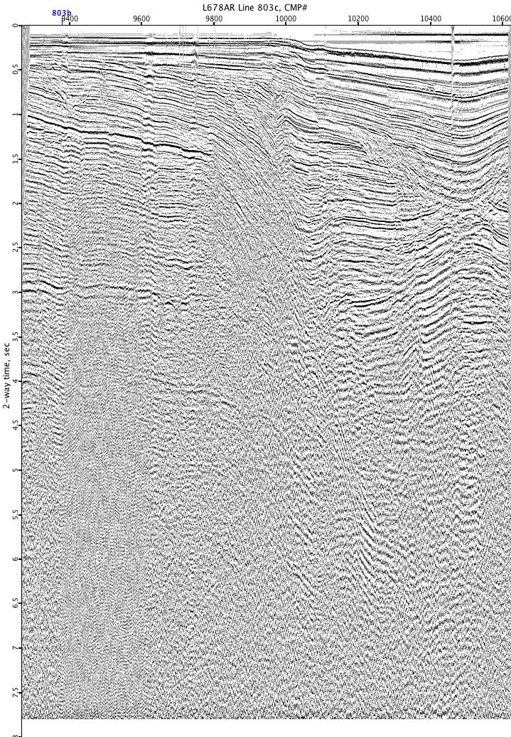
L678AR-803c
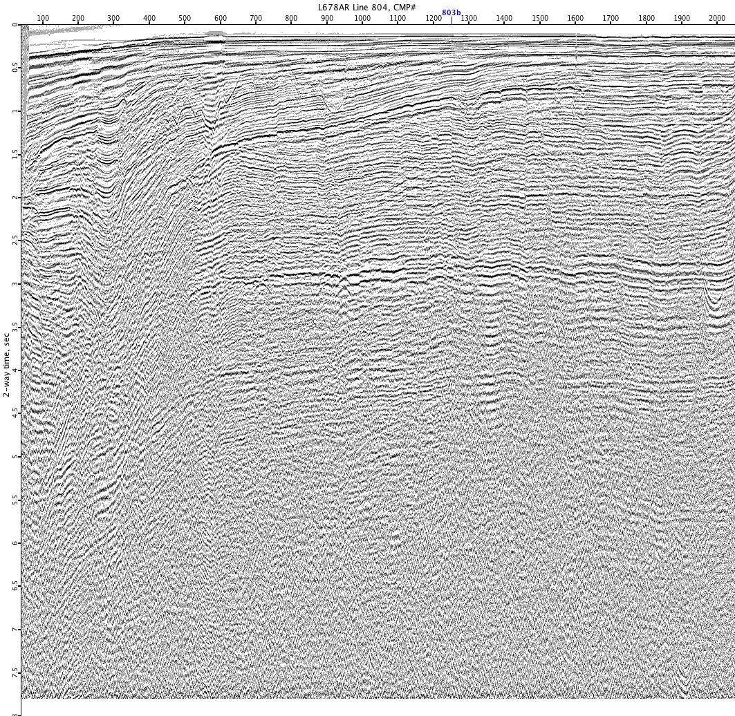
L678AR-804
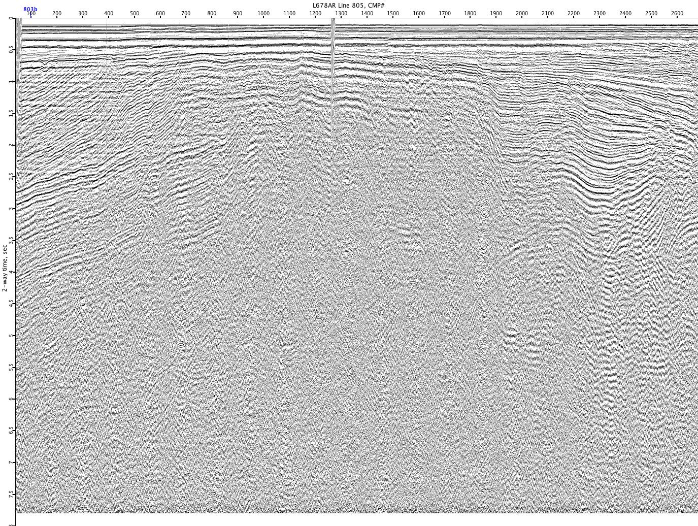
L678AR-805
L678AR-806
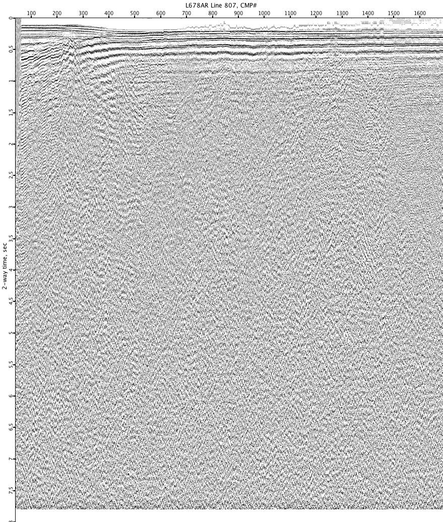
L678AR-807
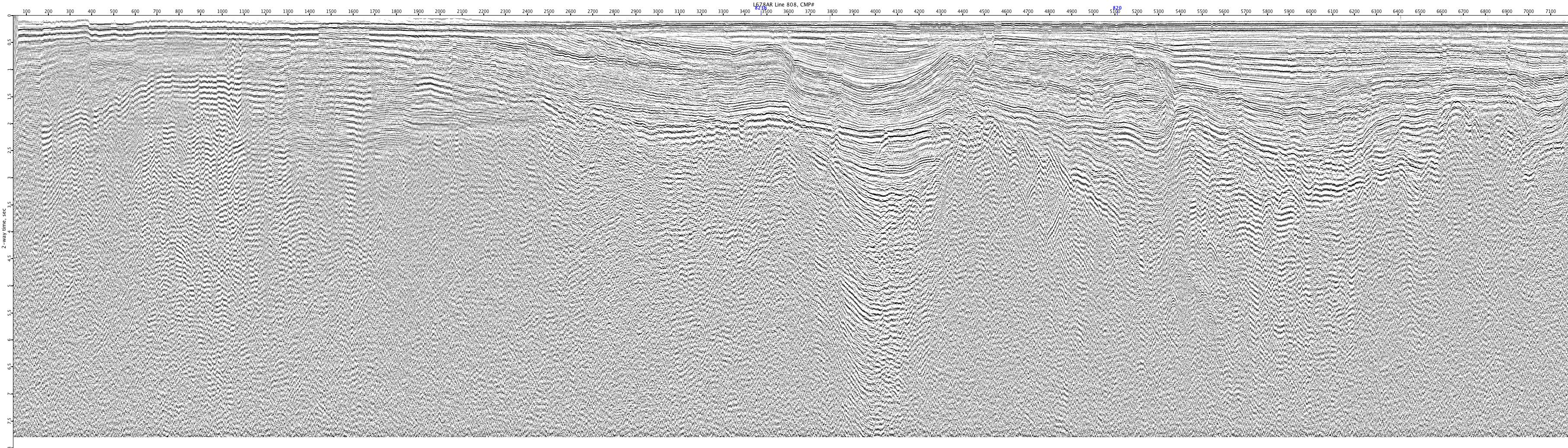
L678AR-808
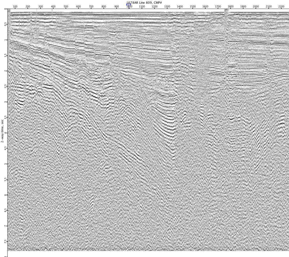
L678AR-809
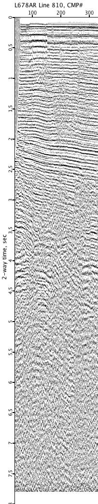
L678AR-810
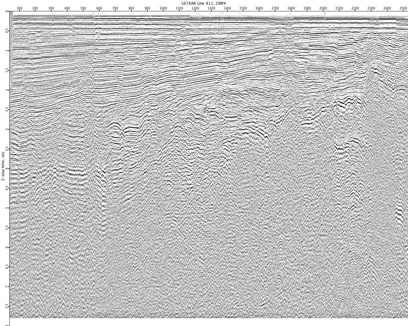
L678AR-811
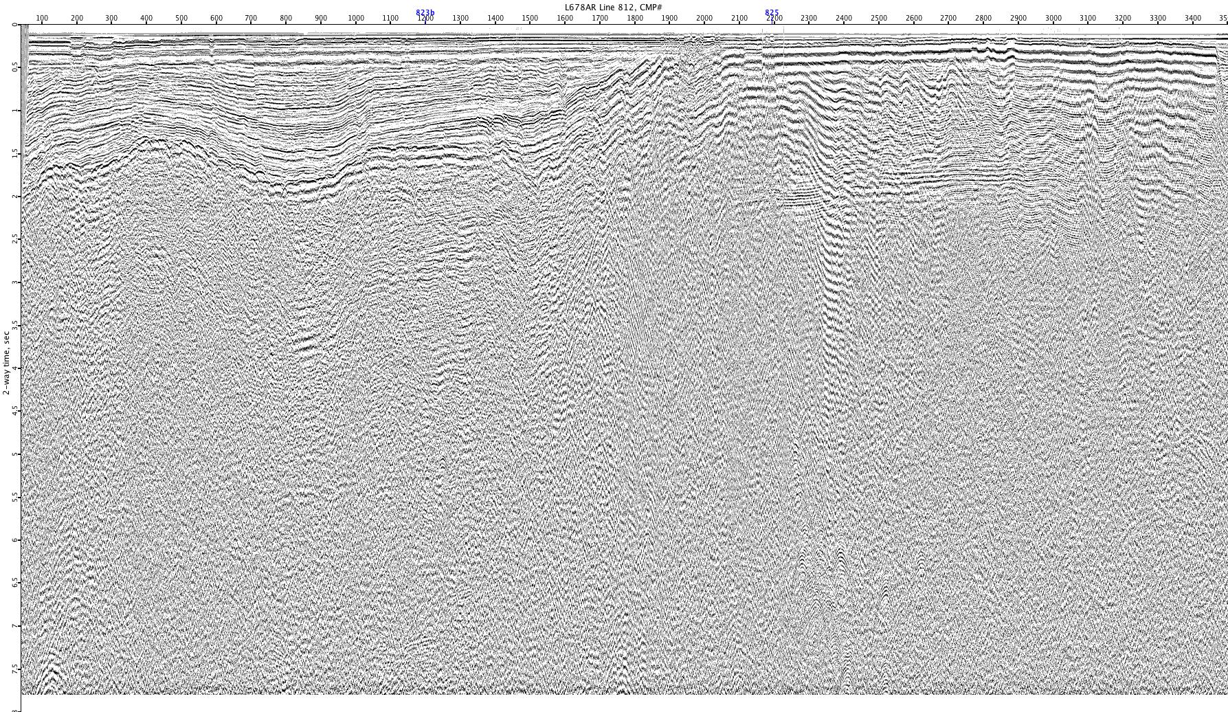
L678AR-812
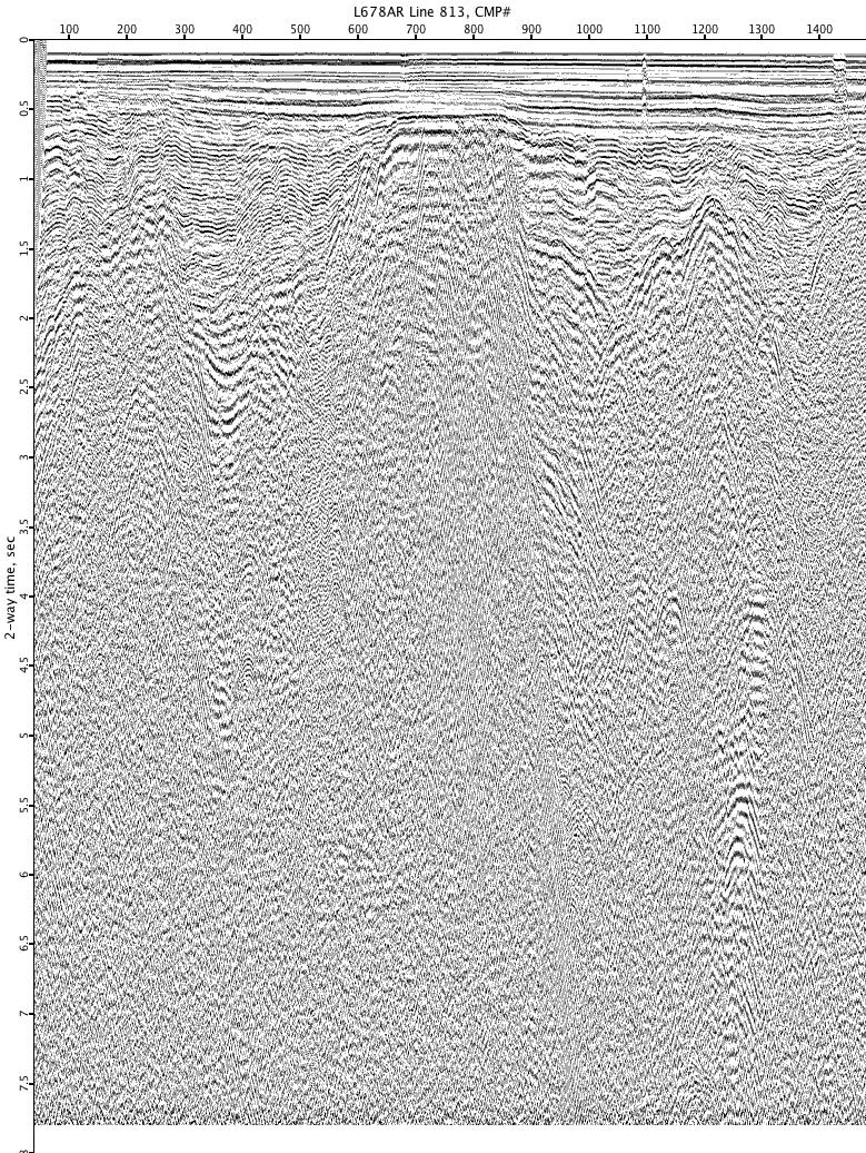
L678AR-813
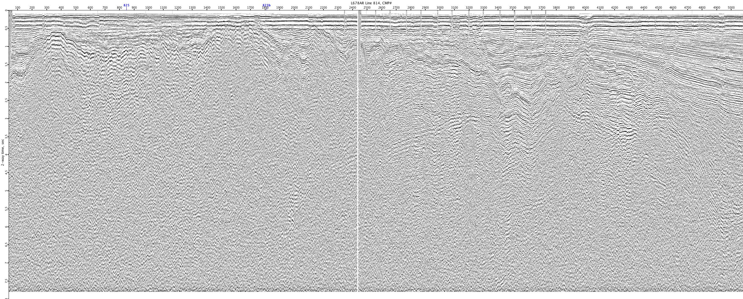
L678AR-814
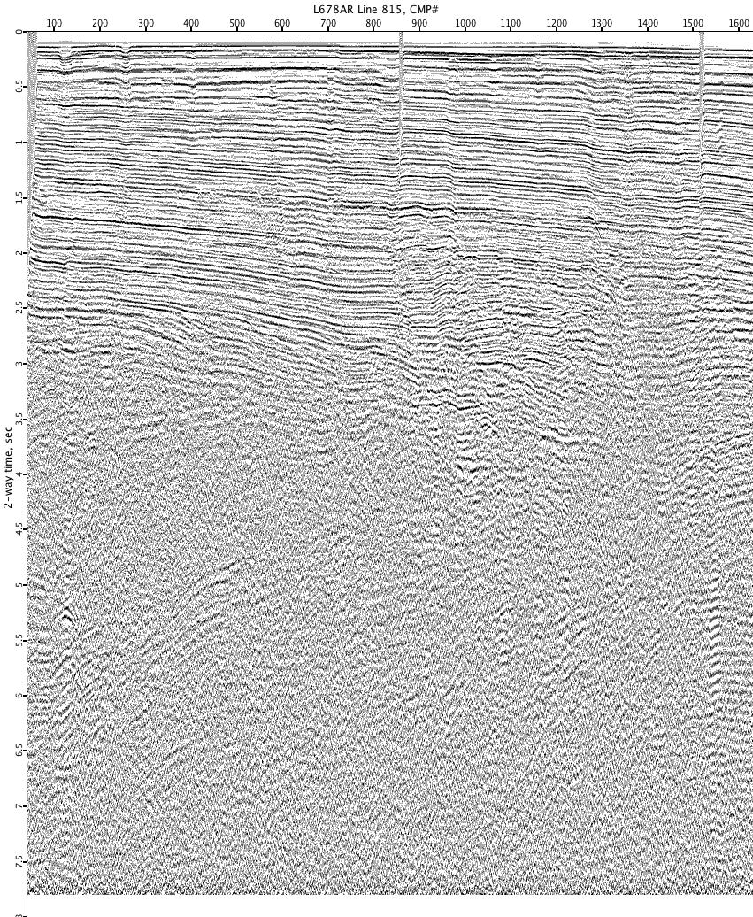
L678AR-815
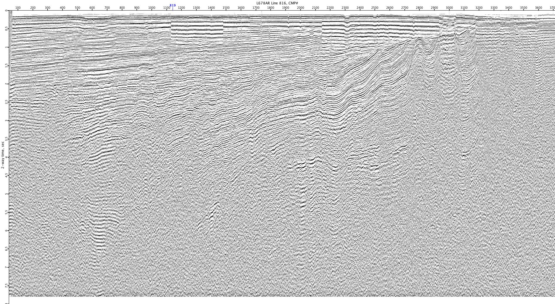
L678AR-816

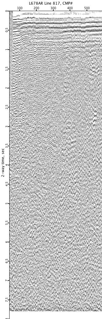
L678AR-817
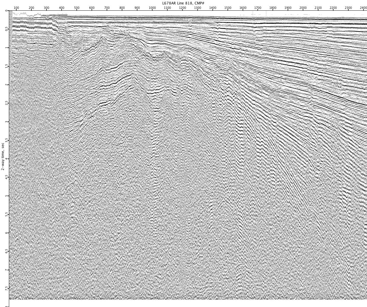
L678AR-818