USGS > Coastal and Marine Hazards and Resources Program > Coastal and Marine Geoscience Data System
Field Activity S708SC Images of SEGY Data
JPEG images of seismic data labeled by line numbers
Click on an image to download the full size JPG file.
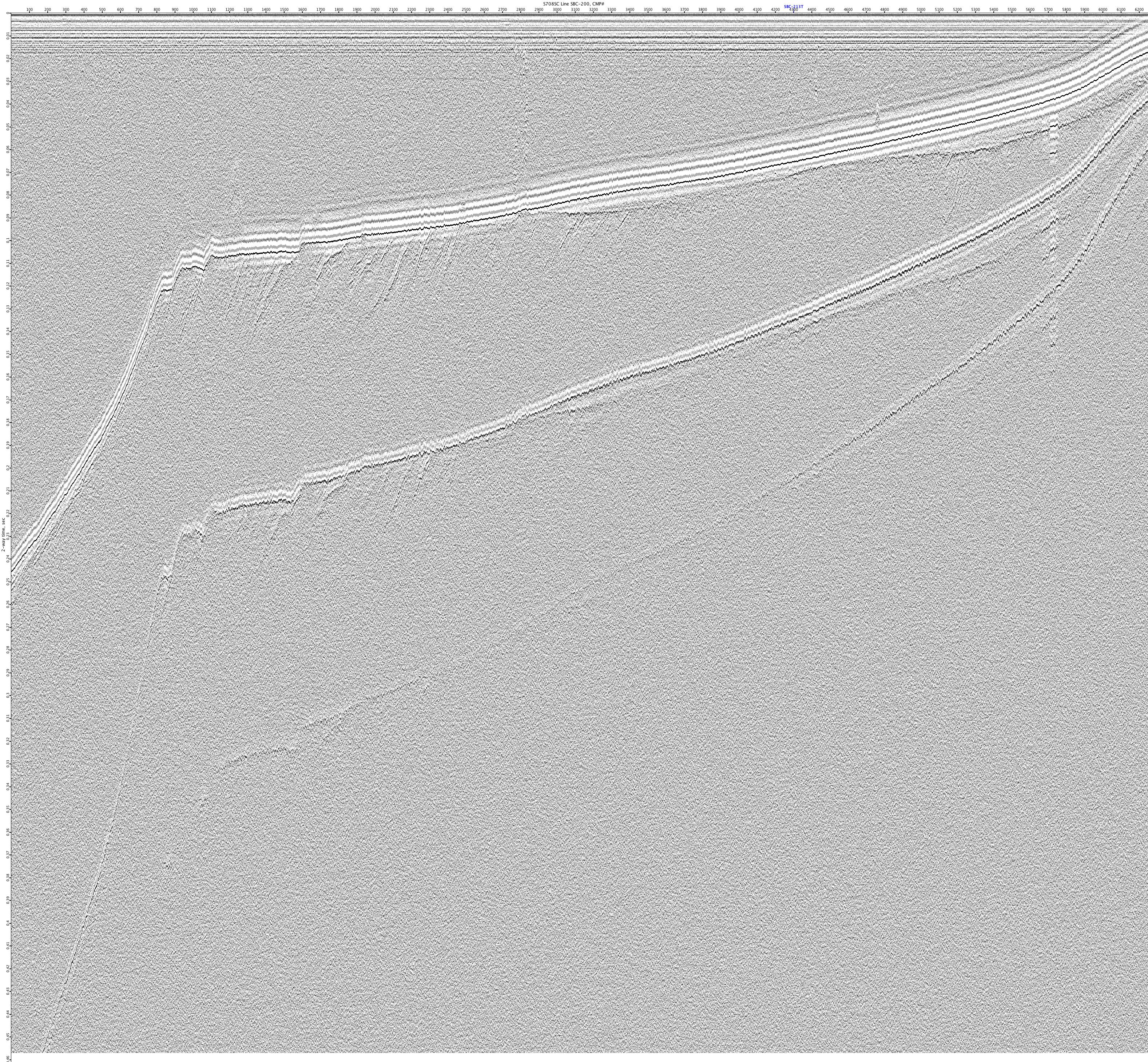
S708SC-SBC-200
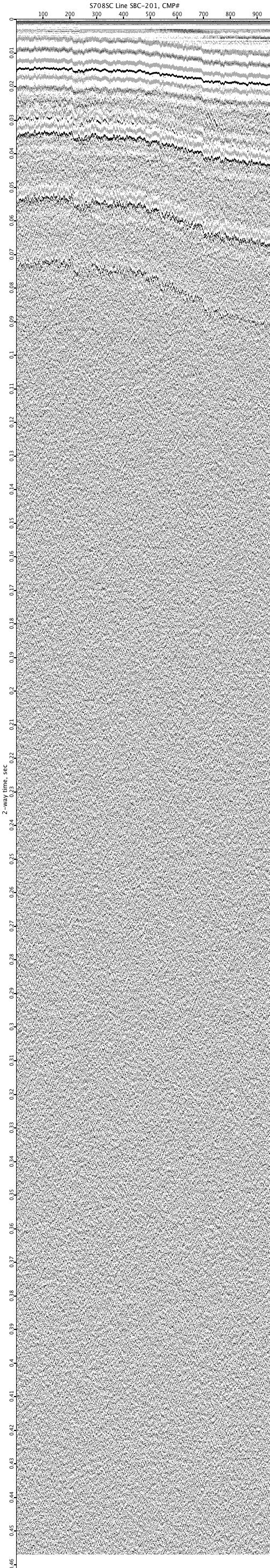
S708SC-SBC-201
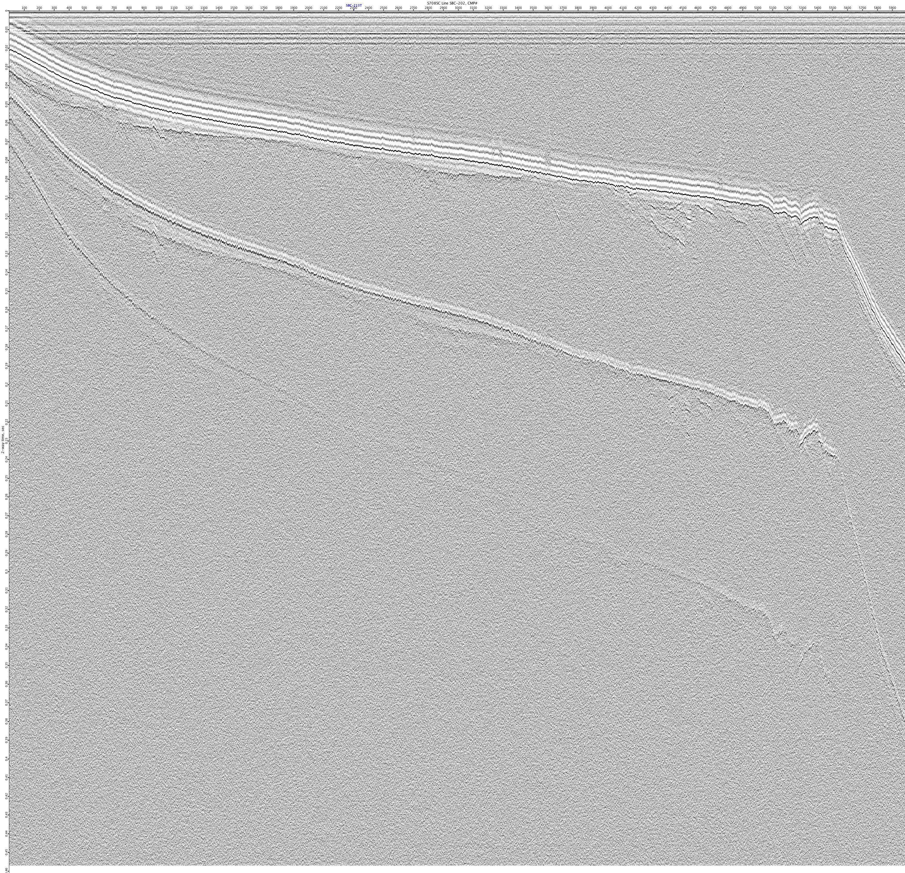
S708SC-SBC-202
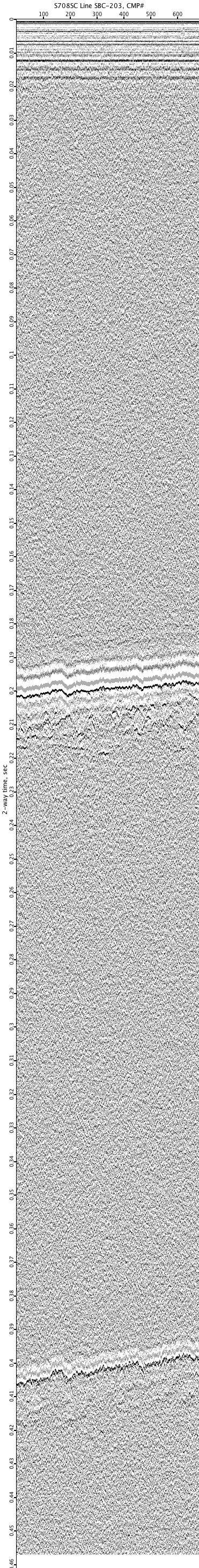
S708SC-SBC-203
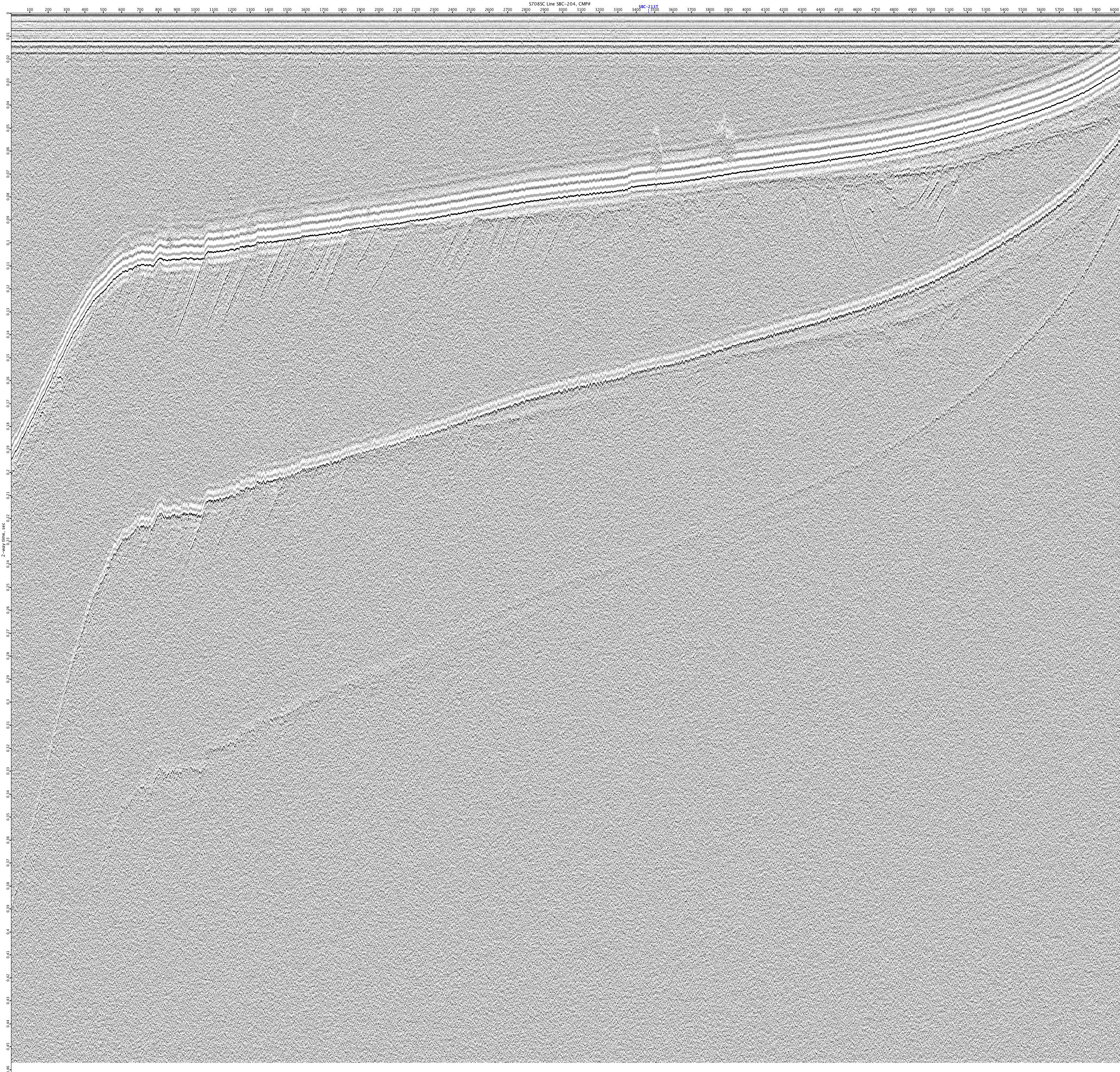
S708SC-SBC-204
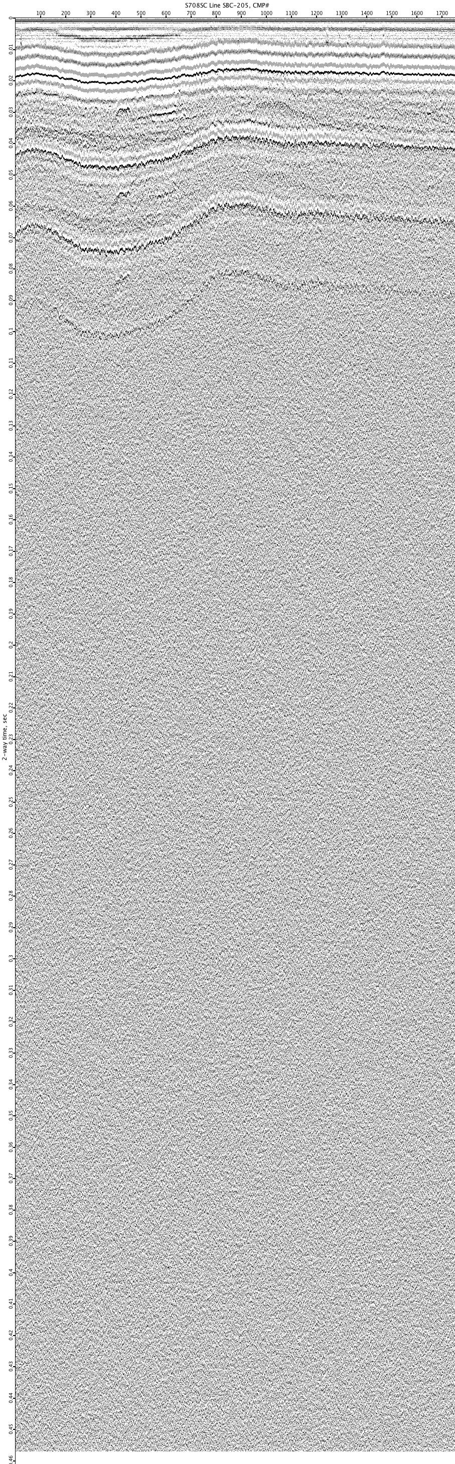
S708SC-SBC-205
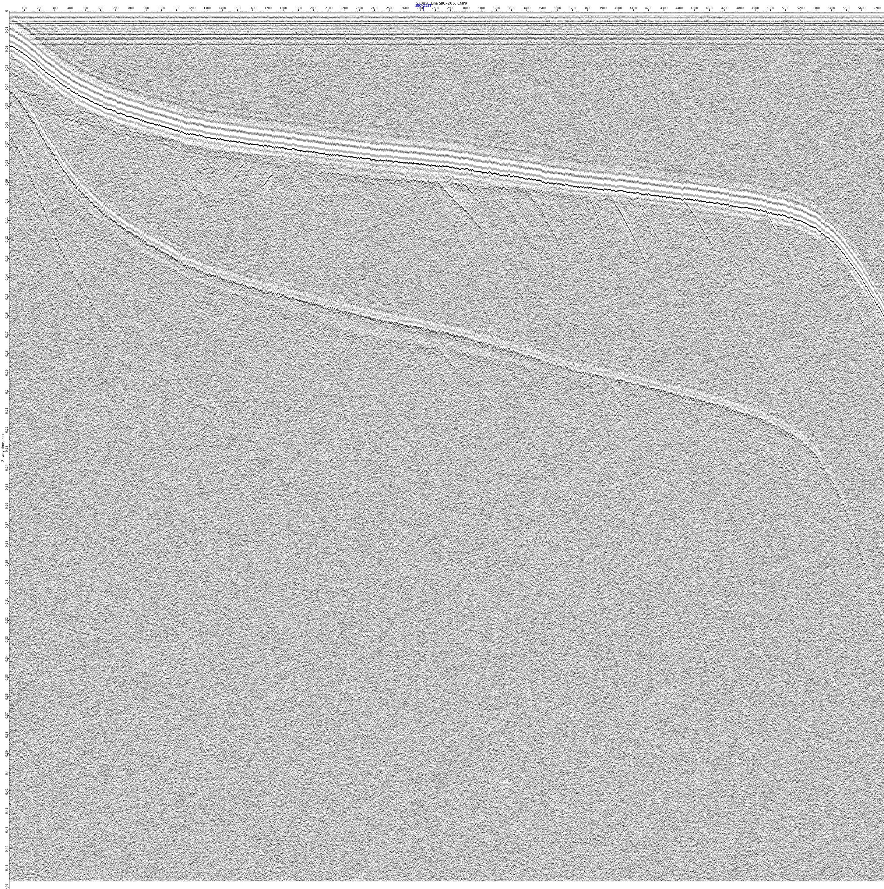
S708SC-SBC-206
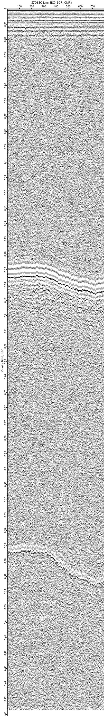
S708SC-SBC-207
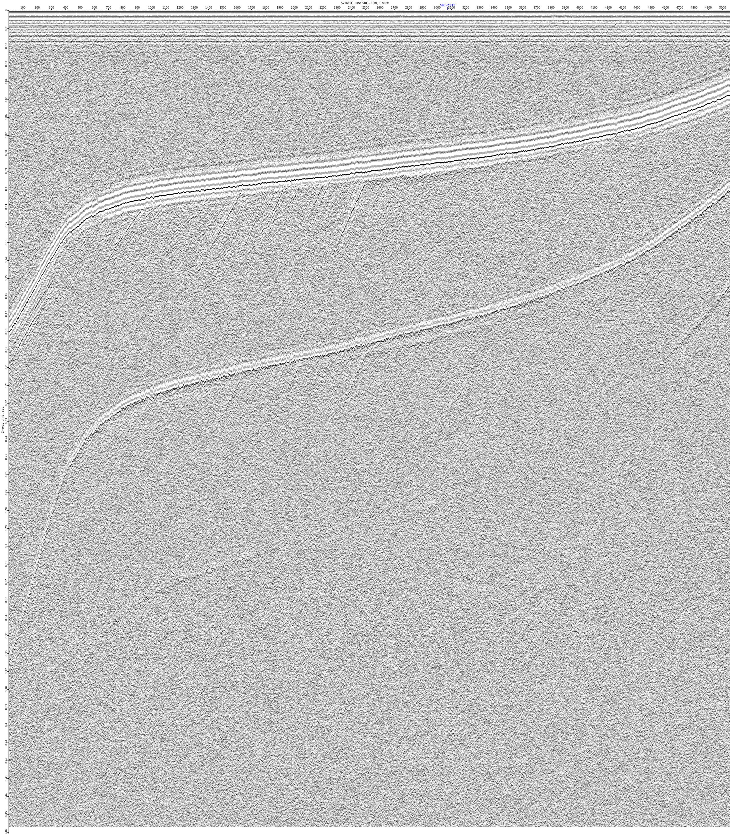
S708SC-SBC-208
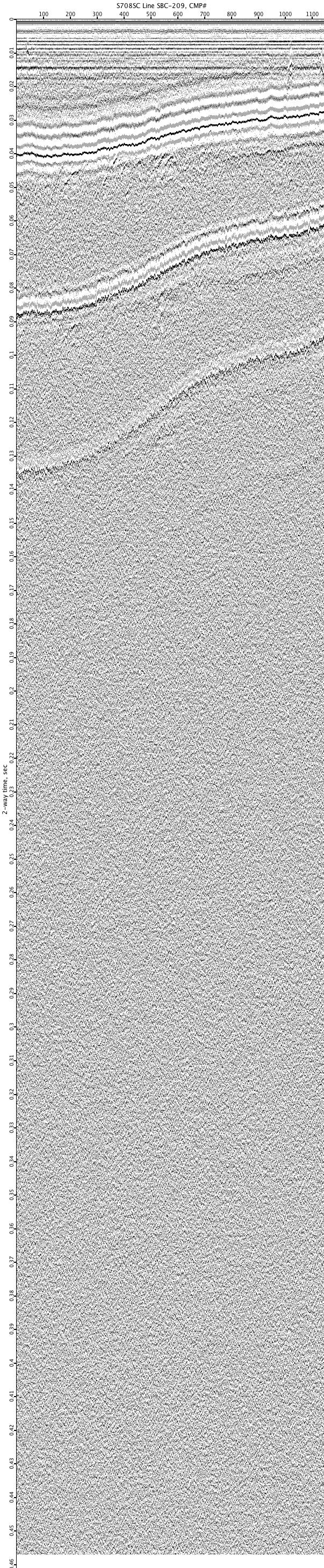
S708SC-SBC-209
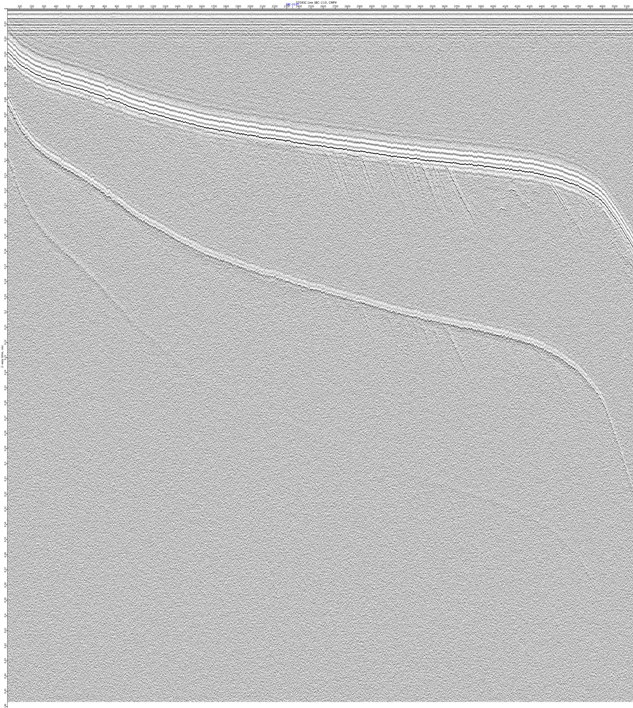
S708SC-SBC-210
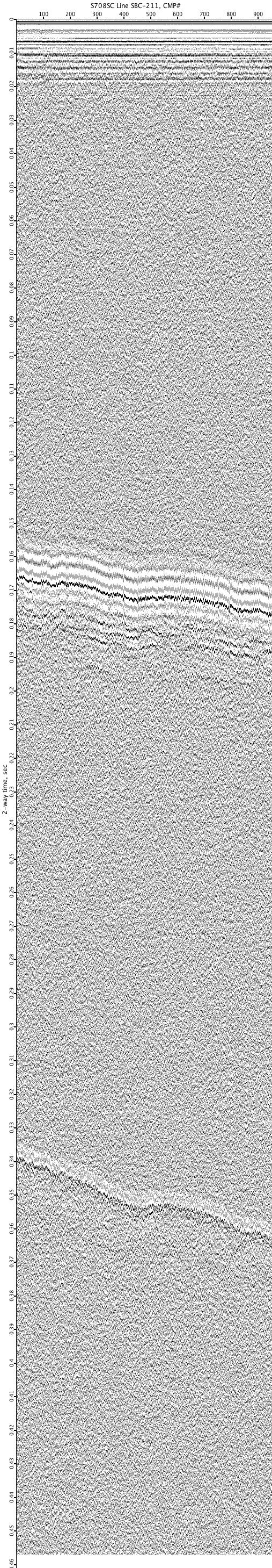
S708SC-SBC-211
S708SC-SBC-212
S708SC-SBC-213T
S708SC-SBC-214
S708SC-SBC-215
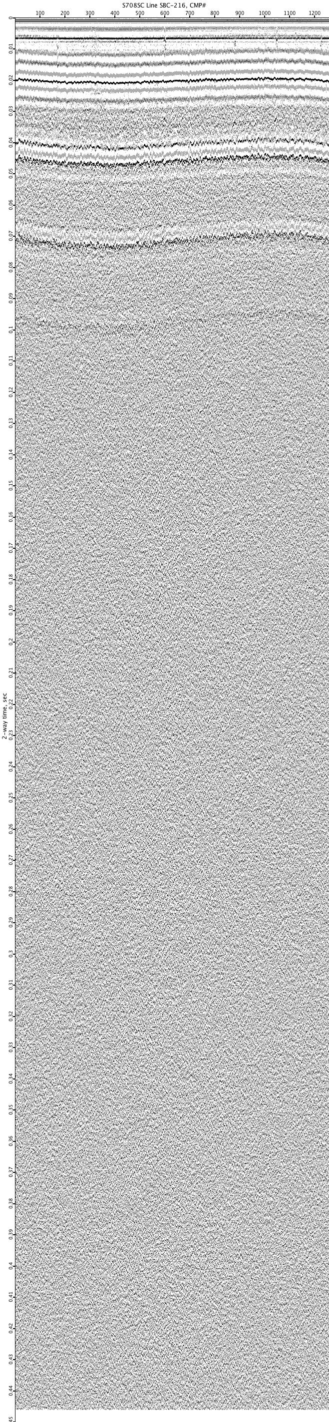
S708SC-SBC-216
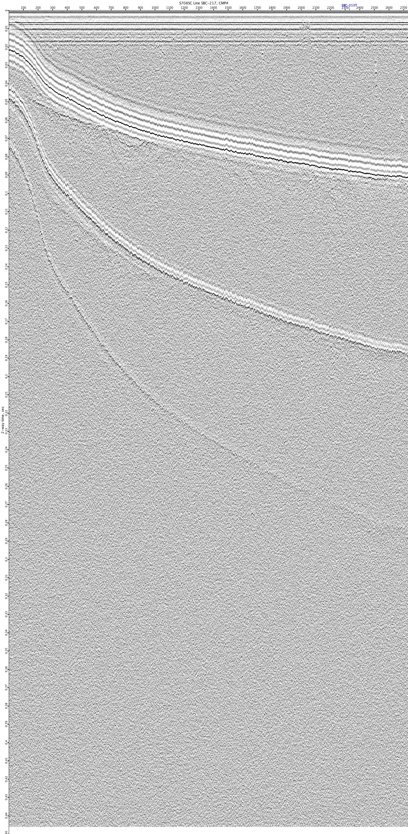
S708SC-SBC-217
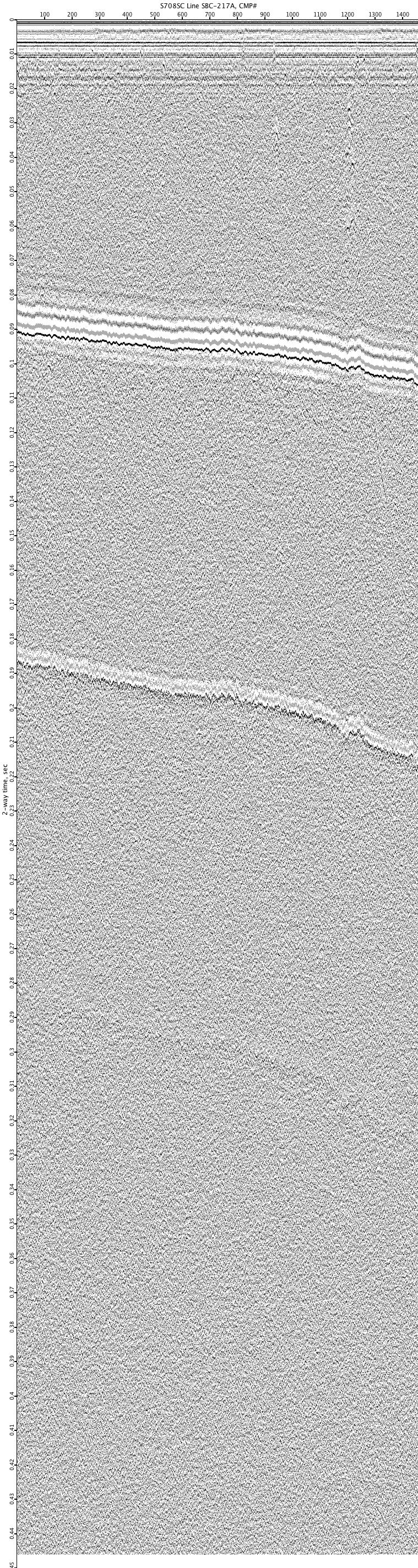
S708SC-SBC-217A

S708SC-SBC-218
