AKA: Lake Ozette 2019
Other ID: none
Organization(s): USGS, Pacific Coastal and Marine Science Center
Funding Program(s): Coastal and marine earthquake, tsunami, and landslide active margin field studies (ZP00EQV)
Principal Investigator(s): Daniel Brothers
Affiliate Investigator(s): Brian Sherrod (USGS EHP)
Data Type(s): Location-Elevation: Navigation, Sampling: Geology, Seismics: Boomer, Seismics: Sub Bottom Profiler, Sonar: Interferometric, Sonar: Sound Velocity
Start Date: 2019-07-14
End Date: 2019-08-03
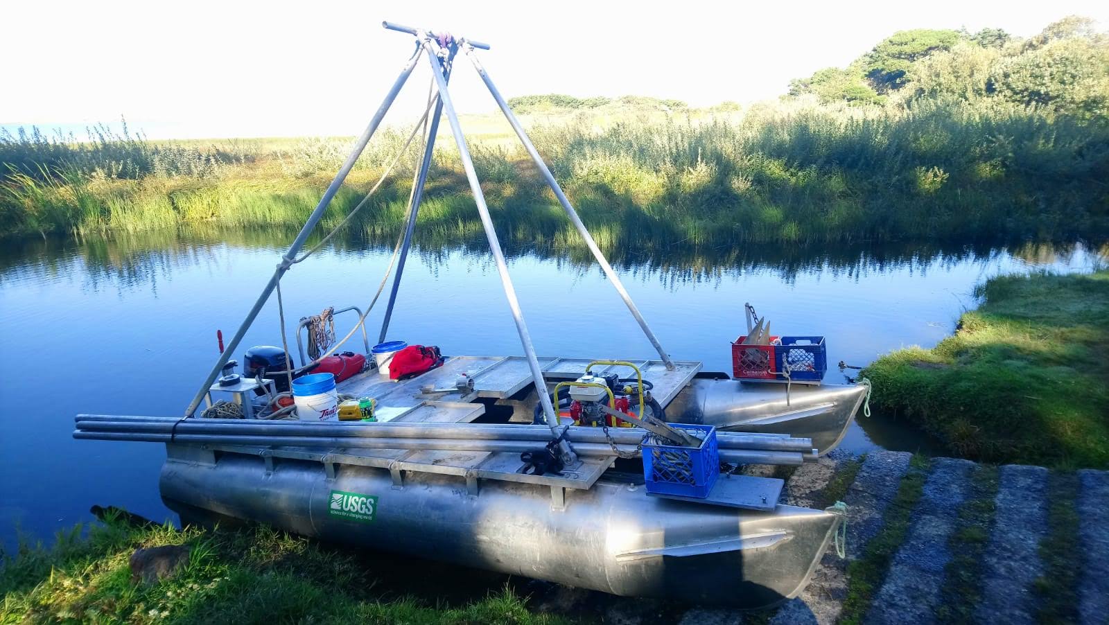
Equipment Used: 512 chirp, Differential GPS, Gravity Core, Vibracore, 512 chirp-source, Other, SWATH plus-M , AML SV Plus, AML SV Plus #2
Information to be Derived: bathymetry, subbottom, core samples
Summary of Activity and Data Gathered: 34 boomer and 94 chirp subbottom profiles were collected in Lake Ozette. High resolution bathymetry and 50 cores were collected from Lake Ozette. 93 chirp profiles were collected in Lake Crescent.
Staff: Jackson Currie, Peter Dal Ferro, Daniel Powers
Affiliate Staff:
Location:
Lake Ozette, WA
| Boundaries | |||
|---|---|---|---|
| North: 48.36970733 | South: 47.26513552 | West: -125.21907806 | East: -123.31054688 |
Platform(s):
 Hadai |
