Online Links:
Range of values | |
---|---|
Minimum: | -70 |
Maximum: | -10 |
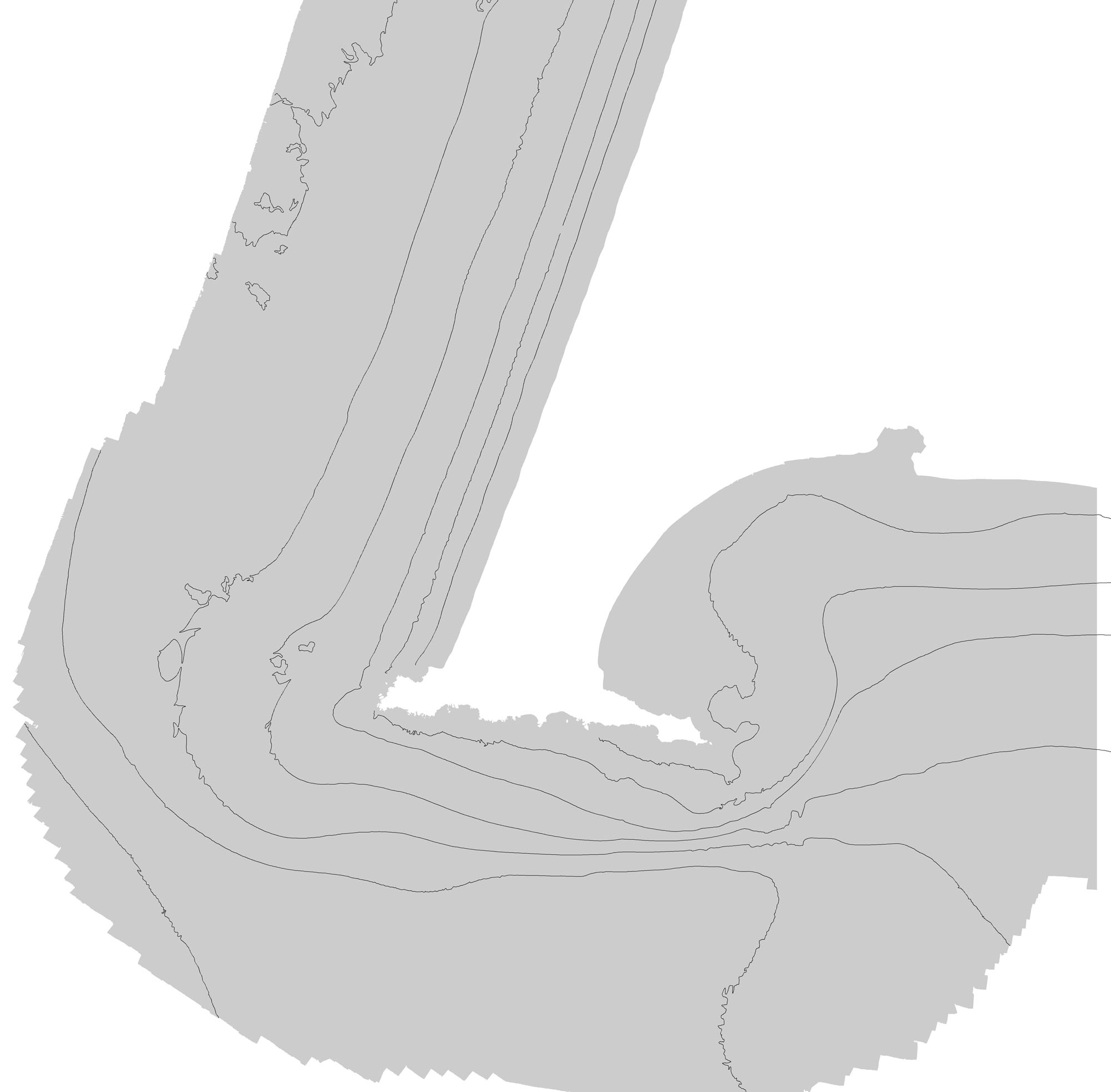
Units: | Integer values -10 to -70 representing depth intervals as described above. |
To expand geologic mapping to the seafloor within the California's State Waters, to update coastal geologic mapping, and to contribute to a uniform regional geologic database, which can be used geographic information systems. Additionally, to provide a geologic map for the public and geoscience community to aid in assessments and mitigation of geologic hazards in the Point Reyes coastal region and to provide sufficient geologic information for land-use and land-management decisions both onshore and offshore. This information is not intended for navigational purposes.
Are there legal restrictions on access or use of the data?Access_Constraints:
If physical samples or materials are available, constraints on their on-site access are described in "WR CMG Sample Distribution Policy" at URL: http://walrus.wr.usgs.gov/infobank/programs/html/main/sample-dist-policy.htmlUse_Constraints:This database has been approved for release and publication by the Director of the USGS. Although this database has been subjected to rigorous review and is substantially complete, the USGS reserves the right to revise the data pursuant to further analysis and review. Furthermore, it is released on condition that neither the USGS nor the United States Government may be held liable for any damages resulting from its authorized or unauthorized use.
USGS-authored or produced data and information are in the public domain. Acknowledge the U.S. Geological Survey and California State University, Monterey Bay, Seafloor Mapping Lab in products derived from these data. Share data products developed using these data with the U.S. Geological Survey.
This information is not intended for navigational purposes. Read and fully comprehend the metadata prior to data use. Uses of these data should not violate the spatial resolution of the data. Where these data are used in combination with other data of different resolution, the resolution of the combined output will be limited by the lowest resolution of all the data.
Although this Federal Geographic Data Committee-compliant metadata file is intended to document these data in nonproprietary form, as well as in ArcInfo format, this metadata file may include some ArcInfo-specific terminology.
Unless otherwise stated, all data, metadata and related materials are considered to satisfy the quality standards relative to the purpose for which the data were collected. Although these data and associated metadata have been reviewed for accuracy and completeness and approved for release by the U.S. Geological Survey (USGS), no warranty expressed or implied is made regarding the display or utility of the data on any other system or for general or scientific purposes, nor shall the act of distribution constitute any such warranty.
Data format: | |
---|---|
Network links: |
https://pubs.usgs.gov/ds/781/ |