Salt Point 38.639622 38.479620 -123.482704 -123.278809 Fort Ross 38.556494 38.396794 -123.305678 -123.102404 Bodega Bay 38.411542 38.252067 -123.172536 -122.969899 Tomales Point 38.255180 38.095716 -123.097226 -122.895023 Point Reyes 38.098263 37.938810 -123.094511 -122.892742 Drakes Bay 38.038192 37.878737 -122.966411 -122.764735 depth to transgressive surface Area Map block (sq km) MIN MAX MEAN STD Salt Point 117 -110.0 -0.2 -82.8 21.7 Fort Ross 100 -102.1 0.0 -65.6 26.0 Bodega Bay 128 -100.7 2.2 -52.2 28.3 Tomales Point 108 -86.5 -4.4 -49.2 19.5 Point Reyes 175 -89.5 -0.1 -52.1 22.7 Drakes Bay 89 -75.8 -1.1 -38.0 12.2Additional information about the field activities from which this data set was derived are available online at
http://walrus.wr.usgs.gov/infobank/s/s809nc/html/s-8-09-nc.meta.htmlAny use of trade, product, or firm names is for descriptive purposes only and does not imply endorsement by the U.S. Government.
Online Links:
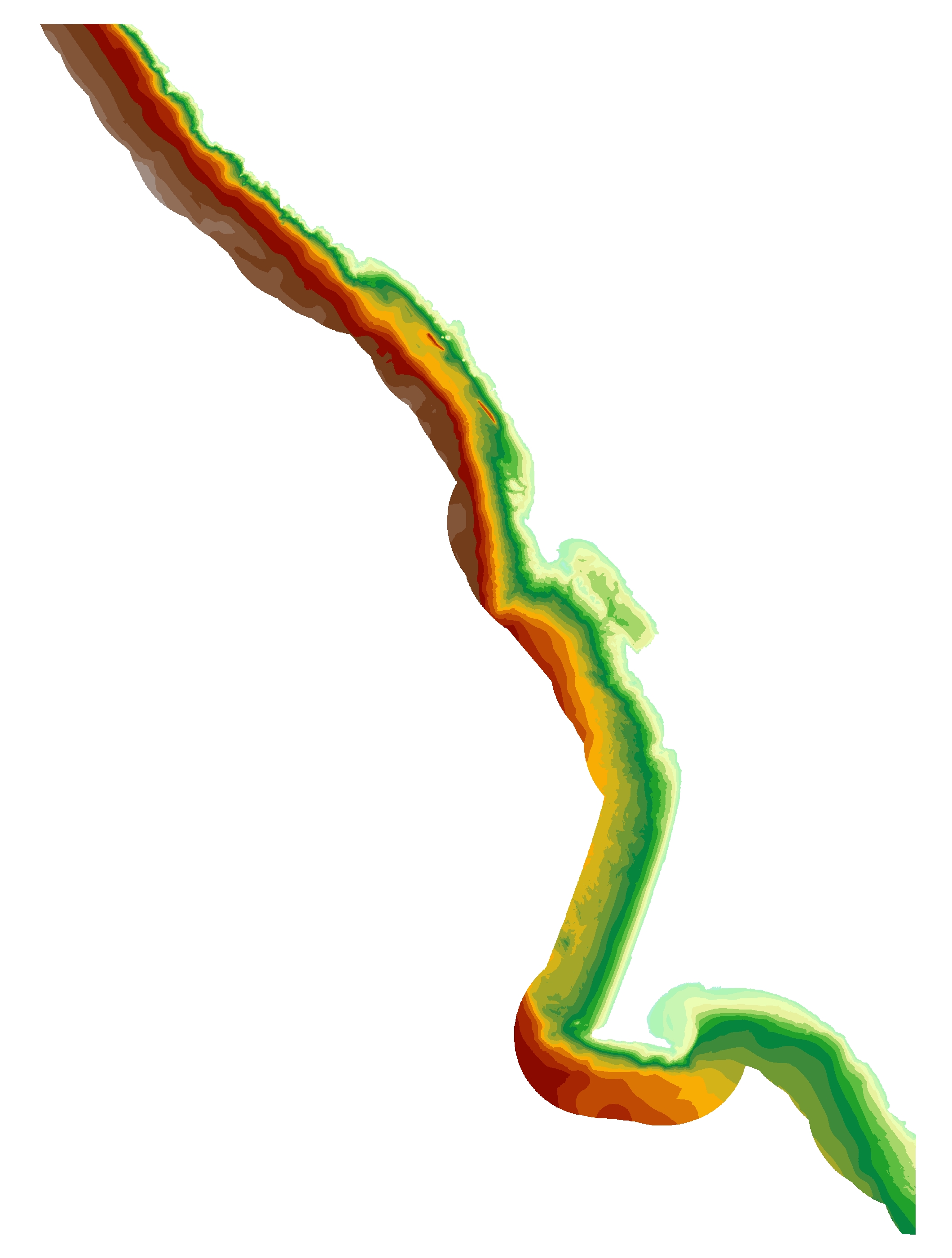
Coordinate system description Projection UTM Zone 10 Datum WGS84 Vertical Datum NAVD88 Units meter
These data are intended for science researchers, students, policy makers, and the general public. This information is not intended for navigational purposes.The data can be used with geographic information systems (GIS) software to display geologic and oceanographic information.
Online Links:
Are there legal restrictions on access or use of the data?Access_Constraints:
If physical samples or materials are available, constraints on their on-site access are described in "WR CMG Sample Distribution Policy" at URL: http://walrus.wr.usgs.gov/infobank/programs/html/main/sample-dist-policy.htmlUse_Constraints:This information is not intended for navigational purposes.
Read and fully comprehend the metadata prior to data use. Uses of these data should not violate the spatial resolution of the data. Where these data are used in combination with other data of different resolution, the resolution of the combined output will be limited by the lowest resolution of all the data.
Acknowledge the U.S. Geological Survey in products derived from these data. Share data products developed using these data with the U.S. Geological Survey.
This database has been approved for release and publication by the Director of the USGS. Although this database has been subjected to rigorous review and is substantially complete, the USGS reserves the right to revise the data pursuant to further analysis and review. Furthermore, it is released on condition that neither the USGS nor the United States Government may be held liable for any damages resulting from its authorized or unauthorized use.
Although this Federal Geographic Data Committee-compliant metadata file is intended to document these data in nonproprietary form, as well as in ArcInfo format, this metadata file may include some ArcInfo-specific terminology.
These databases, identified as depth to transition contours for the Salt Point to Drakes Bay Region, California have been approved for release and publication by the U.S. Geological Survey (USGS). Although these databases have been subjected to rigorous review and are substantially complete, the USGS reserves the right to revise the data pursuant to further analysis and review. Furthermore, it is released on condition that neither the USGS nor the United States Government may be held liable for any damages resulting from its authorized or unauthorized use.
Although these data have been processed successfully on a computer system at the U.S. Geological Survey (USGS), no warranty expressed or implied is made regarding the display or utility of the data on any other system or for general or scientific purposes, nor shall the act of distribution constitute any such warranty. The USGS or the U.S. Government shall not be held liable for improper or incorrect use of the data described and/or contained herein.
Reference herein to any specific commercial product, process, or service by trade name, trademark, manufacturer, or otherwise does not constitute or imply its endorsement, recommendation, or favoring by the United States Government or any agency thereof.
These data are not intended for navigational use.
Data format: | File DepthToTransition_SaltPointToDrakesBay.zip contains ESRI Shapefile, DepthToTransition_SaltPointToDrakesBay, with associated files created by ArcGIS. in format shapefile Size: 8.5 |
---|---|
Network links: |
http://pubs.usgs.gov/ds/781/SaltPointToDrakesBay/data/DepthToTransition_SaltPointToDrakesBay.zip |