This part of DS 781 presents data for the shaded-relief bathymetry map of the Offshore of San Francisco, California, map area. The raster data file is included in "BathymetryHS_OffshoreSanFrancisco.zip," which is accessible from
https://pubs.usgs.gov/ds/781/OffshoreSanFrancisco/data_catalog_OffshoreSanFrancisco.html. These data accompany the pamphlet and map sheets of Cochrane, G.R., Johnson, S.Y., Dartnell, P., Greene, H.G., Erdey, M.D., Golden, N.E., Hartwell, S.R., Endris, C.A., Manson, M.W., Sliter, R.W., Kvitek, R.G., Watt, J.T., Ross, S.L., and Bruns, T.R. (G.R. Cochrane and S.A. Cochran, eds.), 2015, California State Waters Map Series—Offshore of San Francisco, California (ver. 1.1, June 2015): U.S. Geological Survey Open-File Report 2015–1068, pamphlet 39 p., 10 sheets, scale 1:24,000,
https://dx.doi.org/10.3133/ofr20151068.
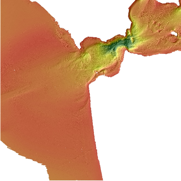
The shaded-relief bathymetry map of Offshore of San Francisco, California, was generated from bathymetry data collected by Fugro Pelagos, and by California State University, Monterey Bay (CSUMB). Mapping was completed between 2004 and 2008, using a combination of 400-kHz Reson 7125 and 244-kHz Reson 8101 multibeam echosounders. These mapping missions combined to collect bathymetry (sheets 1, 2) from about the 10-m isobath to beyond the 3-nautical-mile limit of California's State Waters. A large portion of this map area was re-mapped in 2009, however the older bathymetry data were used in this map due to co-registered, acoustic backscatter data.
These data are intended for science researchers, students, policy makers, and the general public. These data can be used with geographic information systems or other software to identify bathymetric features. These data are not intended to be used for navigation.
Any use of trade, product, or firm names is for descriptive purposes only and does not imply endorsement by the U.S. Government.
Although this Federal Geographic Data Committee-compliant metadata file is intended to document the data set in nonproprietary form, as well as in Esri format, this metadata file may include some Esri-specific terminology.