Citation:
Citation_Information:
Originator: Peter Dartnell
Originator: Rikk G. Kvitek
Originator: Eleyne L. Phillips
Originator: Guy R. Cochrane
Publication_Date: 2013
Title: Backscatter B [USGS]--Offshore of Santa Barbara, California
Edition: 1.0
Geospatial_Data_Presentation_Form: GeoTiff
Larger_Work_Citation:
Citation_Information:
Originator: Samuel Y. Johnson
Originator: Peter Dartnell
Originator: Guy R. Cochrane
Originator: Nadine E. Golden
Originator: Eleyne L. Phillips
Originator: Andrew C. Ritchie
Originator: H. Gary Greene
Originator: Lisa M. Krigsman
Originator: Rikk G. Kvitek
Originator: Bryan E. Dieter
Originator: Charles A. Endris
Originator: Gordon G. Seitz
Originator: Ray W. Sliter
Originator: Mercedes D. Erdey
Originator: Carlos I. Gutierrez
Originator: Florence L. Wong
Originator: Mary M. Yoklavich
Originator: Amy E. Draut
Originator: Patrick E. Hart
Originator: James E. Conrad
Originator: Susan A. Cochran
Publication_Date: 2013
Title:
California State Waters Map Series--Offshore of Santa Barbara, California
Geospatial_Data_Presentation_Form: map
Series_Information:
Series_Name: Scientific Investigations Map
Issue_Identification: SIM 3281
Publication_Information:
Publication_Place: Reston, VA
Publisher: U.S. Geological Survey
Online_Linkage: https://doi.org/10.3133/sim3281
Online_Linkage: http://pubs.usgs.gov/sim/3281/
Larger_Work_Citation:
Citation_Information:
Originator: Nadine E. Golden
Publication_Date: 2013
Title: California State Waters Map Series Data Catalog
Geospatial_Data_Presentation_Form: database
Series_Information:
Series_Name: Data Series
Issue_Identification: DS 781
Publication_Information:
Publication_Place: Reston, VA
Publisher: U.S. Geological Survey
Online_Linkage: http://pubs.usgs.gov/ds/781/
Description:
Abstract:
This part of SIM 3281 presents data for part of the acoustic-backscatter map (see sheet 3, SIM 3281) of the Offshore of Santa Barbara map area, California. The raster data file is included in "BackscatterB_USGS_OffshoreSantaBarbara.zip," which is accessible from
http://pubs.usgs.gov/ds/781/OffshoreSantaBarbara/data_catalog_OffshoreSantaBarbara.html.
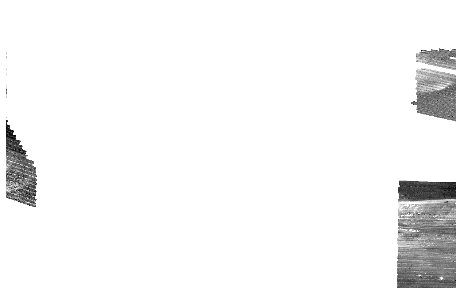
The acoustic-backscatter map of the Offshore of Santa Barbara map area, California, was generated from backscatter data collected by California State University, Monterey Bay, Seafloor Mapping Lab (CSUMB) and by the U.S. Geological Survey (USGS). These metadata describe the acoustic-backscatter data collected by the USGS. See "BackscatterA_CSUMB_OffshoreSantaBarbara_metadata.txt" metadata for a description of the acoustic-backscatter data collected by CSUMB. Small areas in the far-east nearshore, as well as further offshore to the west and in the southeast outer shelf area, were mapped by the USGS in 2005 and 2006, using a combination of 468-kHz (2005) and 117-kHz (2006) SEA (AP) Ltd. SWATHplus-M phase-differencing sidescan sonars. Within the acoustic-backscatter imagery, brighter tones indicate higher backscatter intensity, and darker tones indicate lower backscatter intensity. The intensity represents a complex interaction between the acoustic pulse and the seafloor, as well as characteristics within the shallow subsurface, providing a general indication of seafloor texture and sediment type. Backscatter intensity depends on the acoustic source level; the frequency used to image the seafloor; the grazing angle; the composition and character of the seafloor, including grain size, water content, bulk density, and seafloor roughness; and some biological cover. Harder and rougher bottom types such as rocky outcrops or coarse sediment typically return stronger intensities (high backscatter, lighter tones), whereas softer bottom types such as fine sediment return weaker intensities (low backscatter, darker tones).
Purpose:
These data are intended for science researchers, students, policy makers, and the general public. These data can be used with geographic information systems or other software.
Supplemental_Information:
Time_Period_of_Content:
Time_Period_Information:
Range_of_Dates/Times:
Beginning_Date: 2005
Ending_Date: 2006
Currentness_Reference: ground condition
Status:
Progress: Complete
Maintenance_and_Update_Frequency: As needed
Spatial_Domain:
Bounding_Coordinates:
West_Bounding_Coordinate: -119.81
East_Bounding_Coordinate: -119.62
North_Bounding_Coordinate: 34.49
South_Bounding_Coordinate: 34.32
Keywords:
Theme:
Theme_Keyword_Thesaurus: USGS Metadata Identifier
Theme_Keyword: USGS:306e0abb-498b-48ed-96fe-94c3e6bfbfec
Theme:
Theme_Keyword_Thesaurus: Global Change Master Directory (GCMD)
Theme_Keyword: Oceans > Bathymetry/SeafloorTopography > Bathymetry
Theme_Keyword: Oceans > Bathymetry/SeafloorTopography > Seafloor Topography
Theme:
Theme_Keyword_Thesaurus: None
Theme_Keyword: Marine Geology
Theme_Keyword: Multibeam
Theme_Keyword: Geology
Theme_Keyword: Bathymetry
Theme_Keyword: Backscatter
Theme_Keyword: Intensity
Theme_Keyword: Ocean Floor Topography
Theme_Keyword: U.S. Geological Survey
Theme_Keyword: USGS
Theme_Keyword: Pacific Coastal and Marine Science Center
Theme_Keyword: CSMP
Theme:
Theme_Keyword_Thesaurus: ISO 19115 Topic Category
Theme_Keyword: geoscientificinformation
Theme_Keyword: imageryBaseMapsEarthCover
Theme_Keyword: oceans
Theme:
Theme_Keyword_Thesaurus: Data Categories for Marine Planning
Theme_Keyword: distributions
Theme_Keyword: physical habitats and geomorphology
Theme:
Theme_Keyword_Thesaurus: Marine Realms Information Bank (MRIB) keywords
Theme_Keyword: seabed
Theme_Keyword: sidescan sonar
Theme_Keyword: marine geophysics
Theme:
Theme_Keyword_Thesaurus: USGS Thesaurus
Theme_Keyword: sidescan sonar
Theme_Keyword: image mosaics
Theme_Keyword: marine geophysics
Theme_Keyword: sea-floor characteristics
Theme_Keyword: sea-floor acoustic reflectivity
Theme:
Theme_Keyword_Thesaurus: Coastal and Marine Ecological Classification Standard (CMECS)
Theme_Keyword: Marine Nearshore Subtidal
Theme_Keyword: Marine Offshore Subtidal
Theme_Keyword: Transform Continental Margin
Theme_Keyword: Bight
Theme_Keyword: Borderland
Theme_Keyword: Continental/Island Shelf
Theme_Keyword: Rock Substrate
Theme_Keyword: Unconsolidated Mineral Substrate
Place:
Place_Keyword_Thesaurus: Geographic Names Information System (GNIS)
Place_Keyword: Santa Barbara Channel
Place_Keyword: Santa Barbara
Place_Keyword: Pacific Ocean
Place_Keyword: California
Place:
Place_Keyword_Thesaurus: Coastal and Marine Ecological Classification Standard (CMECS)
Place_Keyword: Southern California Bight Ecoregion
Stratum:
Stratum_Keyword_Thesaurus: Coastal and Marine Ecological Classification Standard (CMECS)
Stratum_Keyword: Substrate
Access_Constraints: None
Use_Constraints:
Please recognize the U.S. Geological Survey (USGS) and California State University, Monterey Bay, Seafloor Mapping Lab (CSUMB). USGS-authored or produced data and information are in the public domain. This information is not intended for navigational purposes.
Read and fully comprehend the metadata prior to data use. Uses of these data should not violate the spatial resolution of the data.
Where these data are used in combination with other data of different resolution, the resolution of the combined output will be limited by the lowest resolution of all the data.
Acknowledge the U.S. Geological Survey in products derived from these data. Share data products developed using these data with the U.S. Geological Survey.
This database has been approved for release and publication by the Director of the USGS. Although this database has been subjected to rigorous review and is substantially complete, the USGS reserves the right to revise the data pursuant to further analysis and review. Furthermore, it is released on condition that neither the USGS nor the United States Government may be held liable for any damages resulting from its authorized or unauthorized use.
Although this Federal Geographic Data Committee-compliant metadata file is intended to document these data in nonproprietary form, as well as in ArcInfo format, this metadata file may include some ArcInfo-specific terminology.
Point_of_Contact:
Contact_Information:
Contact_Person_Primary:
Contact_Person: Peter Dartnell
Contact_Organization:
U.S. Geological Survey,
Pacific Coastal and Marine Science Center
Contact_Position: Physical Scientist
Contact_Address:
Address_Type: mailing and physical address
Address: 400 Natural Bridges Dr.
City: Santa Cruz
State_or_Province: CA
Postal_Code: 95060-5792
Country: USA
Contact_Voice_Telephone: (831) 460-7415
Contact_Facsimile_Telephone: (831) 427-4709
Contact_Electronic_Mail_Address: pdartnell@usgs.gov
Browse_Graphic:
Browse_Graphic_File_Name: <BackscatterB(USGS)_SantaBarbara_forDataCatalog>
Browse_Graphic_File_Description: Acoustic backscatter imagery of offshore Santa Barbara.
Browse_Graphic_File_Type: GIF Offshore Santa Barbara