Online Links:
Online Links:
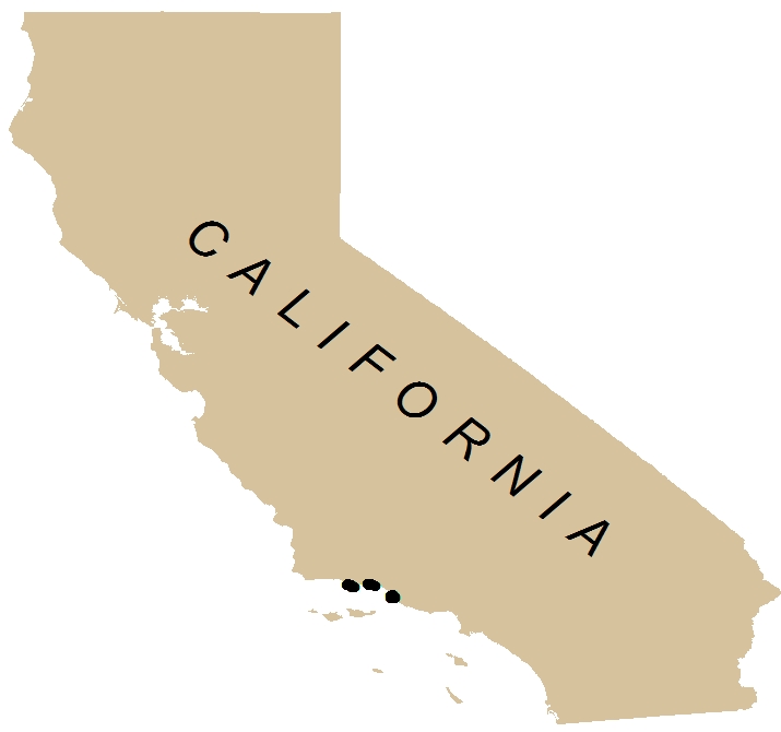
| Range of values | |
|---|---|
| Minimum: | 34.103513 |
| Maximum: | 34.101858 |
| Units: | Decimal degrees; Southern Hemisphere values are negative. |
| Range of values | |
|---|---|
| Minimum: | -119.255818 |
| Maximum: | -119.246218 |
| Units: | Decimal degrees; Western Hemisphere values are negative. |
| Value | Definition |
|---|---|
| Rock | Exposed bedrock |
| Boulder | 25.5 cm or greater |
| Cobble | Between 25.5 cm and 6.5 cm |
| Gravel | Between 6.5 and .2 cm |
| Coquina | broken shells and corals |
| Sand | Between .2 cm and .00625 cm |
| Mud | .00625 cm or smaller |
| Value | Definition |
|---|---|
| Rock | Exposed bedrock |
| Boulder | 25.5 cm or greater |
| Cobble | Between 25.5 cm and 6.5 cm |
| Gravel | Between 6.5 and .2 cm |
| Coquina | Between broken shells and corals |
| Sand | Between .2 cm and .00625 cm |
| Mud | .00625 cm or smaller |
| Value | Definition |
|---|---|
| Low | Flat seafloor |
| Medium | Not flat or extreme. |
| High | Extreme rock face. |
| Value | Definition |
|---|---|
| Low | No space available for potential refuge for both juvenile and adult species |
| Moderate | Some small holes and space available for potential refuge for both juvenile and adult species |
| High | Large holes and spaces available for potential refuge for both juvenile and adult species |
| Value | Definition |
|---|---|
| Trace | No plant cover available for potential refuge for both juvenile and adult species |
| Low | Small amount of plant cover available for potential refuge for both juvenile and adult species |
| Moderate | Some plant cover available for potential refuge for both juvenile and adult species |
| High | High volume of plant cover available for potential refuge for both juvenile and adult species |
| Value | Definition |
|---|---|
| Barren | Denotes no biological cover. |
| Low | Denotes small amount biological cover. |
| Moderate | Denotes some biological cover. |
| High | Denotes high volume biological cover is present. |
| Value | Definition |
|---|---|
| 0 | Denote absence of the species or feature. |
| 1 | Denote presence of the species or feature. |
| Value | Definition |
|---|---|
| 0 | Denote absence of the species or feature. |
| 1 | Denote presence of the species or feature. |
| Value | Definition |
|---|---|
| 0 | Denote absence of the species or feature. |
| 1 | Denote presence of the species or feature. |
| Value | Definition |
|---|---|
| 0 | Denote absence of the species or feature. |
| 1 | Denote presence of the species or feature. |
| Value | Definition |
|---|---|
| 0 | Denote absence of the species or feature. |
| 1 | Denote presence of the species or feature. |
| Value | Definition |
|---|---|
| 0 | Denote absence of the species or feature. |
| 1 | Denote presence of the species or feature. |
| Value | Definition |
|---|---|
| 0 | Denote absence of the species or feature. |
| 1 | Denote presence of the species or feature. |
| Value | Definition |
|---|---|
| 0 | Denote absence of the species or feature. |
| 1 | Denote presence of the species or feature. |
| Value | Definition |
|---|---|
| 0 | Denote absence of the species or feature. |
| 1 | Denote presence of the species or feature. |
| Value | Definition |
|---|---|
| 0 | Denote absence of the species or feature. |
| 1 | Denote presence of the species or feature. |
| Value | Definition |
|---|---|
| 0 | Denote absence of the species or feature. |
| 1 | Denote presence of the species or feature. |
| Value | Definition |
|---|---|
| 0 | Denote absence of the species or feature. |
| 1 | Denote presence of the species or feature. |
| Value | Definition |
|---|---|
| 0 | Denote absence of the species or feature. |
| 1 | Denote presence of the species or feature. |
| Value | Definition |
|---|---|
| 0 | Denote absence of the species or feature. |
| 1 | Denote presence of the species or feature. |
| Value | Definition |
|---|---|
| 0 | Denote absence of the species or feature. |
| 1 | Denote presence of the species or feature. |
| Value | Definition |
|---|---|
| 0 | Denote absence of the species or feature. |
| 1 | Denote presence of the species or feature. |
| Value | Definition |
|---|---|
| 0 | Denote absence of the species or feature. |
| 1 | Denote presence of the species or feature. |
| Value | Definition |
|---|---|
| 0 | Denote absence of the species or feature. |
| 1 | Denote presence of the species or feature. |
| Value | Definition |
|---|---|
| 0 | Denote absence of the species or feature. |
| 1 | Denote presence of the species or feature. |
| Value | Definition |
|---|---|
| 0 | Denote absence of the species or feature. |
| 1 | Denote presence of the species or feature. |
| Value | Definition |
|---|---|
| 0 | Denote absence of the species or feature. |
| 1 | Denote presence of the species or feature. |
| Value | Definition |
|---|---|
| 0 | Denote absence of the species or feature. |
| 1 | Denote presence of the species or feature. |
| Value | Definition |
|---|---|
| 0 | Denote absence of the species or feature. |
| 1 | Denote presence of the species or feature. |
| Value | Definition |
|---|---|
| 0 | Denote absence of the species or feature. |
| 1 | Denote presence of the species or feature. |
| Value | Definition |
|---|---|
| 0 | Denote absence of the species or feature. |
| 1 | Denote presence of the species or feature. |
| Value | Definition |
|---|---|
| 0 | Denote absence of the species or feature. |
| 1 | Denote presence of the species or feature. |
| Value | Definition |
|---|---|
| 0 | Denote absence of the species or feature. |
| 1 | Denote presence of the species or feature. |
| Value | Definition |
|---|---|
| 0 | Denote absence of the species or feature. |
| 1 | Denote presence of the species or feature. |
| Value | Definition |
|---|---|
| 0 | Denote absence of the species or feature. |
| 1 | Denote presence of the species or feature. |
| Value | Definition |
|---|---|
| 0 | Denote absence of the species or feature. |
| 1 | Denote presence of the species or feature. |
| Value | Definition |
|---|---|
| 0 | Denote absence of the species or feature. |
| 1 | Denote presence of the species or feature. |
| Value | Definition |
|---|---|
| 0 | Denote absence of the species or feature. |
| 1 | Denote presence of the species or feature. |
| Value | Definition |
|---|---|
| 0 | Denote absence of the species or feature. |
| 1 | Denote presence of the species or feature. |
| Value | Definition |
|---|---|
| 0 | Denote absence of the species or feature. |
| 1 | Denote presence of the species or feature. |
| Value | Definition |
|---|---|
| 0 | Denote absence of the species or feature. |
| 1 | Denote presence of the species or feature. |
| Range of values | |
|---|---|
| Minimum: | 0.00 |
| Maximum: | -300.00 |
| Units: | Decimal meters below mean sea level. |
| Value | Definition |
|---|---|
| 1 | Smooth sediment |
| 2 | Mixed sediment and smooth rock |
| 3 | Rugose boulder and rock |
| Access_Constraints | None |
|---|---|
| Use_Constraints | USGS-authored or produced data and information are in the public domain from the U.S. Government and are freely redistributable with proper metadata and source attribution. Please recognize and acknowledge the U.S. Geological Survey as the originator(s) of the dataset and in products derived from these data. This information is not intended for navigation purposes. |
| Data format: | The .zip file includes the .aux, .dbf, .shp, .shx, .sbx, and .sbn files, as well as FGDC-compliant metadata. in format shapefile (version ArcMap (version 10.0, ESRI, 2011)) Point, line, and polygon features are in shapefile format and are projected in UTM Zone 10 coordinates. Size: 0.06 |
|---|---|
| Network links: |
https://pubs.usgs.gov/ds/781/video_observations/data/z206sc_video_observations.zip https://pubs.usgs.gov/ds/781/video_observations/data_catalog_video_observations.html https://doi.org/10.3133/ds781 |