Online Links:
| Range of values | |
|---|---|
| Minimum: | 315283 |
| Maximum: | 326627 |
| Units: | meters |
| Range of values | |
|---|---|
| Minimum: | 3314720 |
| Maximum: | 3330738 |
| Units: | meters |
| Range of values | |
|---|---|
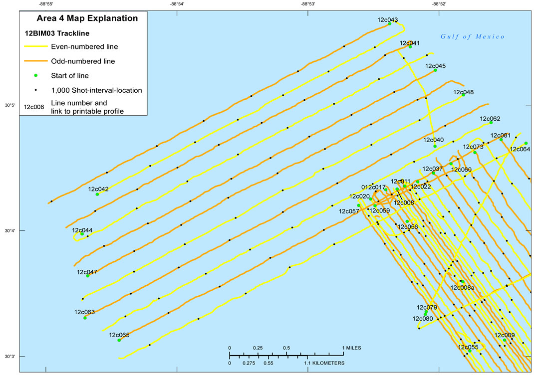
| Minimum: | 1 |
| Maximum: | 12389 |
| Range of values | |
|---|---|
| Minimum: | -88.916378 |
| Maximum: | -88.797183 |
| Units: | decimal degrees |
| Range of values | |
|---|---|
| Minimum: | 29.951025 |
| Maximum: | 30.094522 |
| Units: | decimal degrees |
| Range of values | |
|---|---|
| Minimum: | 2012 |
| Maximum: | 2012 |
Funding and support for this study were provided by the USGS Coastal and Marine Geology Program. We thank R/V Survey Cat captain Nancy DeWitt (SPCMSC) for her assistance in data collection and Will Pfeiffer and Julie Bernier or their assistance with swath data processing. This document was improved by reviews from Kyle Kelso and Ellen Raabe of the USGS - St. Petersburg, Fla. Disc Image Credit: Schmaltz, Jeff, MODIS Rapid Response Team at the NASA Goddard Space Flight Center, 2004, UnitedStates.A2004106.1855.500m.jpg. Also available on-line at <http://eoimages.gsfc.nasa.gov/ve/6886/UnitedStates.A2004106.1855.500m.jpg>
To archive all digital chirp subbottom profile data and associated files collected during cruise 12BIM03.
Online Links:
Online Links:
Online Links:
Are there legal restrictions on access or use of the data?Access_Constraints: None. These data are held in the public domain.
Use_Constraints:The U.S. Geological Survey requests to be acknowledged as originator of the data in future products or derivative research.
This DVD publication was prepared by an agency of the United States Government. Although these data were processed successfully on a computer system at the U.S. Geological Survey, no warranty expressed or implied is made regarding the display or utility of the data on any other system, nor shall the act of distribution imply any such warranty. The U.S. Geological Survey shall not be held liable for improper or incorrect use of the data described and (or) contained herein. Reference herein to any specific commercial product, process, or service by trade name, trademark, manufacturer, or otherwise does not constitute or imply its endorsement, recommendation, or favoring by the United States Government or any agency thereof.
| Data format: | The SEG Y rev. 0 format (Barry and others, 1975) presented here consists of the following: a 3,600-byte reel identification header, with the first 3,200 bytes consisting of an ASCII header block followed by a 400-byte binary header block, both of which include information specific to line and reel number; a trace data block that follows the reel identification header, with the first 240 bytes of each trace block consisting of the binary trace identification header; and seismic data samples that follow the trace identification header. in format SEG Y rev. 0 Size: 2.9 GB |
|---|---|
| Media you can order: |
DVD
(format ISO 9660)
Note: Unix, Linux, DOS, Macintosh |
| Data format: | The GIS data is composed of map documents, shapefiles, and metadata. Map documents were created with Esri ArcGIS 10.1 software. The shapefiles provided may also be viewed using other versions of Esri desktop software including their free software or ArcGIS Explorer (<http://www.esri.com/software/arcgis/explorer/index.html>). in format map document, shapefile, metadata Size: 127 MB |
|---|---|
| Network links: |
http://pubs.usgs.gov/ds/856/software/arc/arc.zip |
Publications are available from USGS Information Services, Box 25286, Federal Center, Denver, CO 80225-0046 (telephone: 1-888-ASK-USGS, e-mail: infoservices@usgs.gov).
Use of SEG Y data requires specialized seismic processing software, such as public domain software Seismic Unix (<http://www.cwp.mines.edu/cwpcodes/index.html>).