Online Links:
Online Links:
| Range of values | |
|---|---|
| Minimum: | 645669.89 |
| Maximum: | 690447.74 |
| Units: | meters |
| Range of values | |
|---|---|
| Minimum: | 4489705.56 |
| Maximum: | 4513363.82 |
| Units: | meters |
| Range of values | |
|---|---|
| Minimum: | -73.278147 |
| Maximum: | -72.745661 |
| Units: | decimal degrees |
| Range of values | |
|---|---|
| Minimum: | 40.544405 |
| Maximum: | 40.749798 |
| Units: | decimal degrees |
| Range of values | |
|---|---|
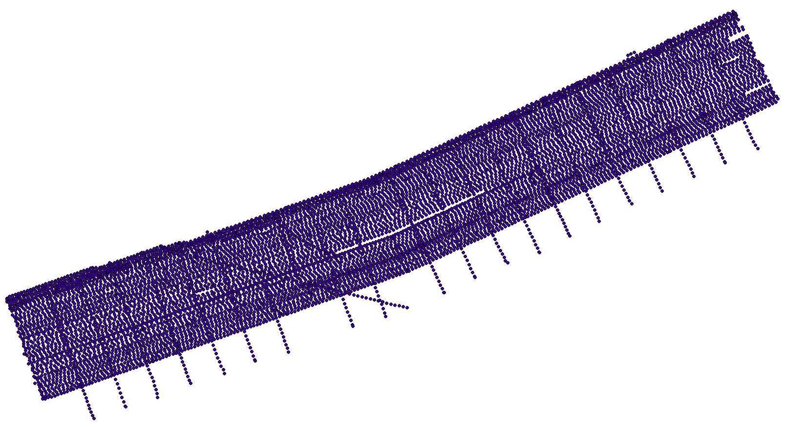
| Minimum: | 1 |
| Maximum: | 27823 |
| Value | Definition |
|---|---|
| 2011 | Calendar year in which data were collected |
| Range of values | |
|---|---|
| Minimum: | 141 |
| Maximum: | 156 |
| Units: | Julian day is the integer number representing the interval of time in days since January 1 of the year of collection. |
| Range of values | |
|---|---|
| Minimum: | 645635.24 |
| Maximum: | 690407.77 |
| Units: | meters |
| Range of values | |
|---|---|
| Minimum: | 4489745.46 |
| Maximum: | 4513348.58 |
| Units: | meters |
Online Links:
Online Links:
Online Links:
Online Links:
Online Links:
Online Links:
Online Links:
| Access_Constraints | none |
|---|---|
| Use_Constraints | Public domain data from the U.S. Government are freely redistributable with proper metadata and source attribution. Please recognize the U.S. Geological Survey as the originator of the dataset. |
| Data format: | WinZip (version 14.0) file containing Esri point shapefile of the 500-shot interval navigation and a comma separated value file of unique shot navigation data collected by the USGS offshore of Fire Island, NY, 2011. This also includes associated metadata. in format Shapefile (version ArcGIS 9.3) Esri point shapefile Size: 28 |
|---|---|
| Network links: |
https://cmgds.marine.usgs.gov/data/field-activity-data/2011-005-FA/data/seismics/2011-005-FA_chirp500sht.zip https://doi.org/10.5066/F75X2704 https://cmgds.marine.usgs.gov/data/field-activity-data/2011-005-FA/ |
| Data format: | WinZip (version 14.0) file containing Esri point shapefile of the 500-shot interval navigation and a comma separated value format file of unique shot navigation data collected by the USGS offshore of Fire Island, NY, 2011. This also includes associated metadata. in format CSV (version Excel Version 2010) Comma Separated Value (csv) Size: 28 |
|---|---|
| Network links: |
https://cmgds.marine.usgs.gov/data/field-activity-data/2011-005-FA/data/seismics/2011-005-FA_chirp500sht.zip https://doi.org/10.5066/F75X2704 https://cmgds.marine.usgs.gov/data/field-activity-data/2011-005-FA/ |