Online Links:
Online Links:
These SEG-Y files represent 2761 kilometers of multi-channel seismic data collected by the U.S. Geological Survey during USGS survey 2014-04-FA. These data were collected off the U.S. Seaboard Atlantic as part of the U.S. Extended Continental Shelf project and investigations of tsunami hazards. The ECS objectives of the survey are primarily beyond 200 nm in water depths greater than 4000 m. The 2014 ECS tracks were laid out primarily parallel to the margin to map along-strike variations in sediment thickness and to test the hypothesis that oceanic fracture zones might be loci of thicker sediments
The submarine landslide objectives were along two transects that extend from the headwall of the slide near or on the slope to the distal extent of the run-out on the abyssal plain. The data were intended to image the points of failure, glide planes, relative ages of multiple smaller landslides, and relative volumnes of material displaced and redeposited. Imaging an entire submarine landslide system provides a comprehensive dataset for modeling landslide occurrence and therefore understanding the associated natural hazard.
Online Links:
Online Links:
Online Links:
Are there legal restrictions on access or use of the data?Access_Constraints: none
Use_Constraints:Public domain data from the U.S. Government are freely redistributable with proper metadata and source attribution. Please recognize the U.S. Geological Survey as the originator of the dataset.
Neither the U.S. Government, the Department of the Interior, nor the USGS, nor any of their employees, contractors, or subcontractors, make any warranty, express or implied, nor assume any legal liability or responsibility for the accuracy, completeness, or usefulness of any information, apparatus, product, or process disclosed, nor represent that its use would not infringe on privately owned rights. The act of distribution shall not constitute any such warranty, and no responsibility is assumed by the USGS in the use of these data or related materials. Any use of trade, product, or firm names is for descriptive purposes only and does not imply endorsement by the U.S. Government.
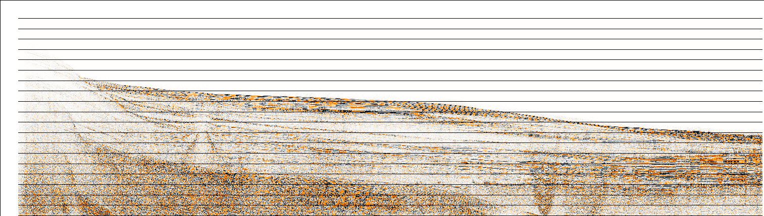
Data format: | SEG-Y (version 1.0) Society for Exploration Geophysics Y format Size: 850 |
---|---|
Network links: |
https://cmgds.marine.usgs.gov/data/field-activity-data/2014-011-FA/data/seismics/segy https://cmgds.marine.usgs.gov/data/field-activity-data/2014-011-FA/ https://doi.org/10.5066/F7V69HHS |
These data can be viewed with any SEG-Y viewing software.