Online Links:
Online Links:
| Range of values | |
|---|---|
| Minimum: | 10 |
| Maximum: | 30 |
| Units: | meters below mean lower low water |
| Range of values | |
|---|---|
| Minimum: | 101.293 |
| Maximum: | 110268 |
| Units: | meters |
| Resolution: | 0.00001 |
Online Links:
Online Links:
Online Links:
| Access_Constraints | None |
|---|---|
| Use_Constraints | Public domain data from the U.S. Government are freely redistributable with proper metadata and source attribution. Please recognize the U.S. Geological Survey as the source of this information. |
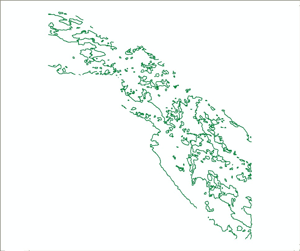
| Data format: | 10 meter depth contours in format SHP (version ArcGIS 9.3) ESRI polyline shapefile Size: 0.292 |
|---|---|
| Network links: |
http://pubs.usgs.gov/of/2009/1072/GIS/shapefile/DH_BathCntr_10m.zip |
| Media you can order: | DVD-ROM (Density 4.75 Gbytes) (format UDF) |