Online Links:
Online Links:
Range of values | |
---|---|
Minimum: | 0.04 |
Maximum: | 18.61 |
Units: | kilometers (km) |
The purpose of these data is to manage the trackline navigation and filenames of the 3,289 kilometers of raw bathymetry files collected using a Systems Engineering and Assessment (SEA) Ltd. SWATHplus interferometric sonar within the northern Cape Cod Bay survey area.
Online Links:
Online Links:
Online Links:
Online Links:
Are there legal restrictions on access or use of the data?Access_Constraints: None
Use_Constraints:Public domain data from the U.S. Government are freely redistributable with proper metadata and source attribution. Please recognize the U.S. Geological Survey (USGS) as the source of this information.
Neither the U.S. Government, the Department of the Interior, nor the USGS, nor any of their employees, contractors, or subcontractors, make any warranty, express or implied, nor assume any legal liability or responsibility for the accuracy, completeness, or usefulness of any information, apparatus, product, or process disclosed, nor represent that its use would not infringe on privately owned rights. The act of distribution shall not constitute any such warranty, and no responsibility is assumed by the USGS in the use of these data or related materials. Any use of trade, product, or firm names is for descriptive purposes only and does not imply endorsement by the U.S. Government.
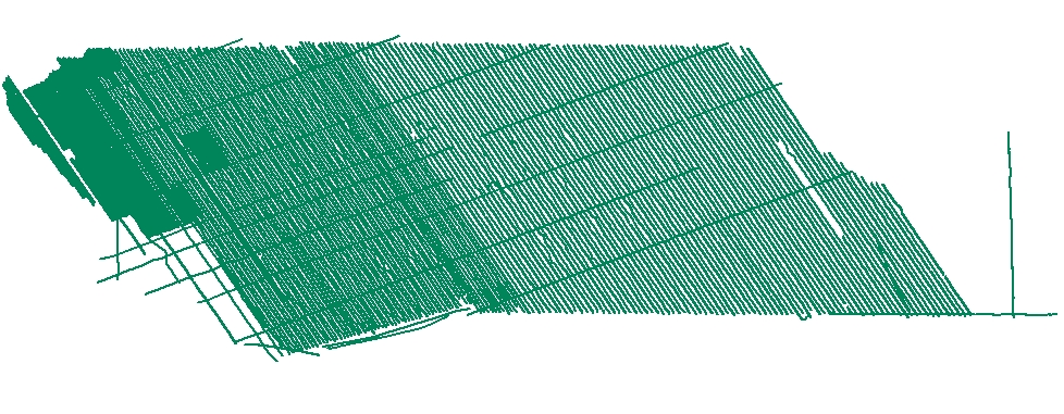
Data format: | Survey tracklines for SWATHplus bathymetric data collected offshore of Massachusetts within northern Cape Cod Bay. in format SHP (version ArcGIS 9.3) ESRI polyline shapefile Size: 12 |
---|---|
Network links: |
http://pubs.usgs.gov/of/2010/1006/GIS/shapefile/CCB_BathTracklines.zip |
Media you can order: | DVD-ROM (Density 4.75 Gbytes) (format UDF) |
This zip file contains data available in Environmental Systems Research Institute (ESRI) shapefile format. The user must have software capable of uncompressing the WinZip file and displaying the shapefile. In lieu of ArcView or ArcGIS, the user may utilize another GIS application package capable of importing the data. A free data viewer, ArcExplorer, capable of displaying the data is available from ESRI at www.esri.com.