Online Links:
Online Links:
The purpose of this GeoTIFF is to publish single mosaic of acoustic backscatter of the seafloor acquired during four surveys using a Klein 3000 sidescan-sonar in the Cape Cod Bay survey area.
Online Links:
Online Links:
Online Links:
Online Links:
Online Links:
Are there legal restrictions on access or use of the data?Access_Constraints: None
Use_Constraints:Public domain data from the U.S. Government are freely redistributable with proper metadata and source attribution. Please recognize the U.S. Geological Survey as the source of this information.
Neither the U.S. Government, the Department of the Interior, nor the USGS, nor any of their employees, contractors, or subcontractors, make any warranty, express or implied, nor assume any legal liability or responsibility for the accuracy, completeness, or usefulness of any information, apparatus, product, or process disclosed, nor represent that its use would not infringe on privately owned rights. The act of distribution shall not constitute any such warranty, and no responsibility is assumed by the USGS in the use of these data or related materials. Any use of trade, product, or firm names is for descriptive purposes only and does not imply endorsement by the U.S. Government.
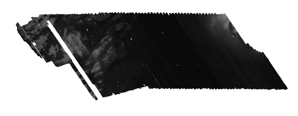
Data format: | WinZip file contains a GeoTIFF image and associated world file of sidescan-sonar collected within Northern Cape Cod Bay. in format GeoTIFF (version PCI v. 10.1.3) Size: 262 |
---|---|
Network links: |
http://pubs.usgs.gov/of/2010/1006/GIS/raster/backscatter/CCB_Klein_bs_1m.zip |
Media you can order: | DVD-ROM (Density 4.75 Gbytes) (format UDF) |
This Zip file contains a compressed GeoTIFF image and world file. The user must have software capable of uncompressing the zip file and viewing a GeoTIFF image.