Online Links:
Online Links:
| Access_Constraints | None |
|---|---|
| Use_Constraints | Public domain data from the U.S. Government are freely redistributable with proper metadata and source attribution. Please recognize the U.S. Geological Survey as the originator of the dataset. |
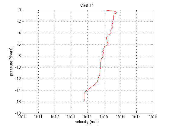
| Data format: | WinZip (version 14.5) file contains sound velocity profiles collected by the U.S. Geological Survey - Woods Hole Coastal and Marine Science Center offshore of the Elizabeth Islands, MA. It contains comma-separated text files of each sound velocity cast and a png image of the profile plotted as depth versus veolcity. in format CSV Size: 0.114 |
|---|---|
| Network links: |
http://pubs.usgs.gov/of/2011/1184/GIS_catalog/svps/2010-003-FA_svp_profiles.zip http://pubs.usgs.gov/of/2011/1184/html/GIS_catalog.html |
| Media you can order: | DVD-ROM (Density 4.75 Gbytes) (format UDF) |
| Data format: | WinZip (version 14.5) file contains sound velocity profiles collected by the U.S. Geological Survey - Woods Hole Coastal and Marine Science Center offshore of the Elizabeth Islands, MA. It contains comma-separated text files of each sound velocity cast and a png image of the profile plotted as depth versus veolcity. in format PNG Size: 0.114 |
|---|---|
| Network links: |
http://pubs.usgs.gov/of/2011/1184/GIS_catalog/svps/2010-003-FA_svp_profiles.zip http://pubs.usgs.gov/of/2011/1184/html/GIS_catalog.html |
| Media you can order: | DVD-ROM (Density 4.75 Gbytes) (format UDF) |