All sidescan-sonar data in this mosaic were collected with a Klein 3000 dual-frequency (132/445 kHz) sidescan-sonar system. Only the 132-kHz data were used to generate the sidescan-sonar mosaic. All data were processed using the same methods.
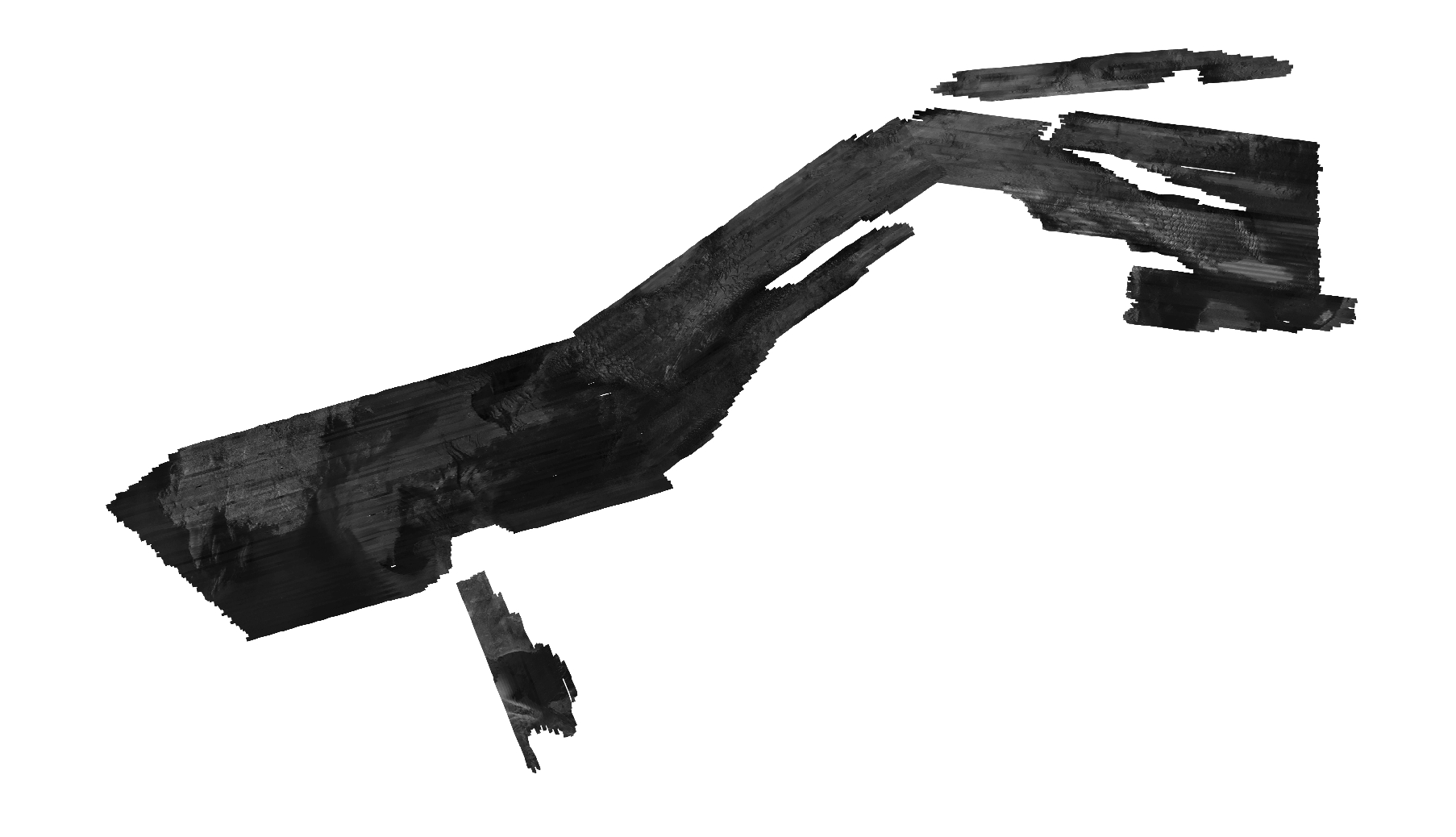
This mosaic includes the sidescan backscatter data collected during 2009-002-FA, 2010-004-FA, and 2011-004-FA that are within the Vineyard Sound survey area. Additional data collected during these three surveys in the Buzzards Bay survey area are published USGS Open File Report 2012-1002. This mosaic does not include all acoustic backscatter data collected in the Vineyard Sound survey area. Data collected along transit lines, seismic tie lines, and other lines of poor quality were excluded.
Horizontal_Positional_Accuracy:
Horizontal_Positional_Accuracy_Report:
Field activity 2009-002-FA: The Klein 3000 was towed from the stern A-frame of the M/V Megan T. Miller. Differential GPS (DGPS) position data were provided by the Ashtech BRG2 receiver and recorded to the raw data files (XTF) via SonarPro (version 10.0) on the sonar acquisition computer. The GPS antenna was mounted on the aft end of the acquisition lab van. All GPS data during this survey was referenced to the WGS84 horizontal datum. The horizontal offsets between the GPS antenna and the sheave on the A-frame were measured prior to the survey (x: -2.0m; y:-8.35m; z:+2m). Additional layback position, accounting for the linear distance between the sheave on the A-frame and the towed sonar system were measured by a 3PS digital block cable counter on the winch that was used to deploy the sidescan-sonar towfish. All of the horizontal offsets were directly applied into the acquisition software so the navigation recorded in the XTF data reflect the position including the layback offset. The layback calculations do not account for fish motion behind the vessel, which is caused by sea state and vessel speed-induced changes in the angle and scope of the tow cable. DGPS positional accuracy is estimated to be within 3-5 m; Wide Area Augmentation System enable DGPS is estimated to be within less than 3 m. Considering the additional fish motion and cable movement, a conservative estimate of positional accuracy for this dataset is estimated to be within 10 m.
Field activity 2010-004-FA: The Klein 3000 was towed from the stern A-frame of the M/V Megan T. Miller. Real-Time Kinematic (RTK) GPS position data were provided by the Novatel DL-V3 receiver and recorded to the raw data files (XTF) via SonarPro (version 11.0) on the sonar acquisition computer. The GPS antenna was mounted on the top of the SWATHplus (interferometric bathymetry) transducer pole, midship on the starboard side (the middle of the 3 bathymetry system antennas). On a few brief occasions the RTK-GPS signal was lost and the navigation system fell back to standalone DGPS or GPS mode. In these cases, the lower quality positions were used and no corrections were made for RTK navigation gaps. All GPS data during this survey were referenced to the WGS84 horizontal datum. The horizontal offsets between the GPS antenna and the sheave on the A-frame were measured prior to the survey (x:-4.1m; y:-14.94m; z:-1.33m). Additional layback position, accounting for the linear distance between the sheave on the A-frame and the towed sonar system were measured by a 3PS digital block cable counter on the winch that was used to deploy the sidescan-sonar towfish. All of the horizontal offsets were directly applied into the acquisition software so the navigation recorded in the XTF data reflect the position including the layback offset. The layback calculations do not account for fish motion behind the vessel, which is caused by sea state and vessel speed induced changes in the angle and scope of the tow cable. RTK positional accuracy is estimated to be within less than 1 m. Taking the additional fish motion, cable movement and RTK-GPS navigation dropouts into account, a conservative estimate of positional accuracy for this dataset is estimated to be within 10 m.
Field activity 2011-004-FA: The Klein 3000 was towed from the stern A-frame of the M/V Scarlett Isabella. Differential GPS (DGPS) position data were provided by the Ashtech BRG2 receiver and recorded to the raw data files (XTF) via SonarPro (version 11.0) on the sonar acquisition computer. The GPS antenna was mounted on the forward end of the acquisition lab van. All GPS data during this survey was referenced to the WGS84 horizontal datum. The horizontal offsets between the GPS antenna and the sheave on the A-frame were measured prior to the survey (x: +4.31m; y:-9.18m; z:0.0m). Additional layback position, accounting for the linear distance between the sheave on the A-frame and the towed sonar system were measured by a 3PS digital block cable counter on the winch that was used to deploy the sidescan-sonar towfish. All of the horizontal offsets were directly applied into the acquisition software so the navigation recorded in the XTF data reflect the position including the layback offset. The layback calculations do not account for fish motion behind the vessel, which is caused by sea state and vessel speed induced changes in the angle and scope of the tow cable. DGPS positional accuracy is estimated to be within 3-5 m; WAAS enable DGPS is estimated to be within less than 3 m. Taking the additional fish motion and cable movement into account, a conservative estimate of positional accuracy for this dataset is estimated to be within 10 m.
Source_Information:
Source_Citation:
Citation_Information:
Originator: U.S. Geological Survey
Publication_Date: unknown
Title: Information unavailable from original metadata.
Type_of_Source_Media: disc
Source_Time_Period_of_Content:
Time_Period_Information:
Single_Date/Time:
Calendar_Date: unknown
Source_Currentness_Reference:
Information unavailable from original metadata. Assumed to be ground condition. The time period is probably the same as the dataset overall, which is ground condition of individual surveys on the following dates: 2009062-20090603; 20100521-20100604; 20110507-20110509; 20110514-20110517.
Source_Citation_Abbreviation: Information unavailable from original metadata.
Source_Contribution:
Data acquisition at sea: Sidescan sonar data were collected using a Klein 3000 dual frequency (132/445 kHz) sidescan sonar towed from the M/V Megan T. Miller (2009-002-FA and 2010-004-FA) and the M/V Scarlett Isabella (2011-004-FA). During each survey the sonar was towed from a stern A-frame, and towfish layback values were determined using a cable counter and automatically adjusted as the layback parameter in the Klein SonarPro acquisition software (versions 10.0 and 11.0). Data were acquired along tracklines spaced 100 m apart at a speed of approximately 5 knots. A range of 75-100 meters (150-200 meter swath) was used to collect the data and ensure overlap with adjacent lines. Survey specific details are listed below: 2009-002-FA SonarPro version was 10.0, navigation was recorded from the antenna on the aft end of the acquisition van into the Ashtech BRG2 receiver (DGPS), and sheave offsets were x= -2.0m, y = -8.35m, z = +2.0m. During 2010-004-FA: SonarPro version was 11.0, navigation was recorded from the center antenna on the SWATHplus pole into the Novatel receiver (RTK), and sheave offsets were x = -4.1m, y = -14.94m, z = -1.33m. During 2011-004-FA: SonarPro version was 11.0, navigation was recorded from the antenna on the forward end of the acquisition van into the Ashtech BRG2 receiver (DGPS), and sheave offsets were x = +4.31m, y = -9.18m, and z = 0.0m.
Process_Step:
Process_Description:
Step 1. XSonar/ShowImage (version: 2.0) processing (Danforth 1997)
The raw sidescan sonar data in eXtended Triton Format (XTF) was converted to a XSonar format using the parameters described below:
Setup Option:
Navigation= Lat/Lon
Navigation Interval= 1 minute
Demultiplexing Range and Filter Options:
Across track=4 (pixels) Along track= 3 (pixels)
Port/Starboard Normalize = 4095
Port High Pass: 65535
Input= 16 bit
Normalize Image= yes.
During the demux step, a digital number value of 10 was used as the altitude Search Strength (DN) for the first bottom return. After demultiplexing, each line file (*.d) was reviewed using ShowImage (ver. 1.0) to ensure that the bottom picks were correct and a new bottom was digitized if required.
Next, each file was merged with the navigation created in the demux step and corrected for slant range (*.ds) and beam pattern corrections using the following parameters:
Number of lines= 150
Ping overlap=45
Max beam angle= 90
Response angle=55
Data normalization (0-255)=1
Port/Stbd Tone Adjustment= "on" and "Normal"
The navigation for the final line file (*.dsb) was reviewed using the "Navigation" option in the main Xsonar window. Duplicate points are deleted and navigation is remerged into the ds file if required.
The final step in Xsonar produces separate raster files at 1.0 meter resolution in UTM Zone 19 coordinates for even and odd line files
Mosaic boundaries were defined within the survey trackline planning scheme such that the sonar images mapped in XSonar would have the same line orientation and keep the working mosaics to a manageable file size. Processing occurred in 2009, 2010, and 2011.
Process_Date: 2011
Process_Contact:
Contact_Information:
Contact_Person_Primary:
Contact_Person: Brian Andrews
Contact_Organization: U.S. Geological Survey
Contact_Position: Geographer
Contact_Address:
Address_Type: mailing and physical address
Address: 384 Woods Hole Rd.
City: Woods Hole
State_or_Province: MA
Postal_Code: 02543-1598
Country: USA
Contact_Voice_Telephone: 508-548-8700 x2348
Contact_Facsimile_Telephone: 508-457-2310
Contact_Electronic_Mail_Address: [email protected]
Process_Step:
Process_Description:
Step 2. XSonar to TIFF Conversion: Each *.ras file was converted to a raw raster file (*.raw) in XSonar at a resolution of 1-m per pixel. The 80-byte header for each *ras raster file was removed and the images were converted to a raster (.raw) file with the command: dd if=filename.ras of=filename.raw bs=80 skip=1. The resulting rasters (.raw) were converted to a TIFF using Adobe Photoshop (ver. 10.0.1). Processing occurred in 2009, 2010, and 2011.
Process_Date: 2011
Process_Contact:
Contact_Information:
Contact_Person_Primary:
Contact_Person: Brian Andrews
Contact_Organization: U.S. Geological Survey
Contact_Position: Geographer
Contact_Address:
Address_Type: mailing and physical address
Address: 384 Woods Hole Rd
City: Woods Hole
State_or_Province: MA
Postal_Code: 02543-1598
Country: USA
Contact_Voice_Telephone: 508-548-8700 x2348
Contact_Facsimile_Telephone: 508-457-2310
Contact_Electronic_Mail_Address: [email protected]
Process_Step:
Process_Description:
Step 3. A PCI Geomatica (version 10.1) project was created for each subarea of the Vineyard Sound survey area. The working mosaics were imported into PCI Geomatica to be digitally mosaicked together using PCI's OrthoEngine and procedures described in Paskevich 1996. The mosaicking process produces an enhanced, geographically correct, sidescan-sonar mosaic with 1 meter/pixel resolution. The Vineyard Sound survey area was divided into a three subareas to maintain reasonable file sizes. The subareas were then mosaicked together into a composite backscatter image for the entire survey area. The composite mosaic was exported as a GeoTIFF image.
Process_Date: 2011
Process_Contact:
Contact_Information:
Contact_Person_Primary:
Contact_Person: Brian Andrews
Contact_Organization: U.S. Geological Survey
Contact_Position: Geographer
Contact_Address:
Address_Type: mailing and physical address
Address: 384 Woods Hole Rd
City: Woods Hole
State_or_Province: MA
Postal_Code: 02543-1598
Country: USA
Contact_Voice_Telephone: 508-548-8700 x2348
Contact_Facsimile_Telephone: 508-457-2310
Contact_Electronic_Mail_Address: [email protected]
Process_Step:
Process_Description:
Step 4.
Using PCI Geomatica (ver. 10.1) , all of the NODATA areas were selected and made to have a single NODATA value, such that all NODATA in the final mosaic will have a pixel value of 255. All backscatter data within the survey area have a value of less than 255, although some small data gaps (NODATA) do occur within the survey area.
Process_Date: 2012
Process_Contact:
Contact_Information:
Contact_Person_Primary:
Contact_Person: Brian Andrews
Contact_Organization: U.S. Geological Survey
Contact_Position: Geographer
Contact_Address:
Address_Type: mailing and physical address
Address: 384 Woods Hole Rd
City: Woods Hole
State_or_Province: MA
Postal_Code: 02543-1598
Country: USA
Contact_Voice_Telephone: 508-548-8700 x2348
Contact_Facsimile_Telephone: 508-457-2310
Contact_Electronic_Mail_Address: [email protected]
Process_Step:
Process_Description:
Edits to the metadata were made to fix any errors that MP v 2.9.32 flagged. This is necessary to enable the metadata to be successfully harvested for various data catalogs. In some cases, this meant adding text "Information unavailable" or "Information unavailable from original metadata" for those required fields that were left blank. Other minor edits were probably performed (title, publisher, publication place, etc.). Fixed a link to the project page in the abstract. The link to the data in the Identification_Information section had to be fixed. The link to the data in the Distribution_Information section had to be fixed. The distribution format name was modified in an attempt to be more consistent with other metadata files of the same data format. The metadata date (but not the metadata creator) was edited to reflect the date of these changes. The metadata available from a harvester may supersede metadata bundled within a download file. Compare the metadata dates to determine which metadata file is most recent.
Process_Date: 20160525
Process_Contact:
Contact_Information:
Contact_Organization_Primary:
Contact_Organization: U.S. Geological Survey
Contact_Person: VeeAnn A. Cross
Contact_Position: Marine Geologist
Contact_Address:
Address_Type: mailing and physical address
Address: 384 Woods Hole Rd.
City: Woods Hole
State_or_Province: MA
Postal_Code: 02543
Contact_Voice_Telephone: 508-548-8700 x2251
Contact_Facsimile_Telephone: 508-457-2310
Contact_Electronic_Mail_Address: [email protected]
Process_Step:
Process_Description: USGS Thesaurus keywords added to the keyword section.
Process_Date: 20180720
Process_Contact:
Contact_Information:
Contact_Organization_Primary:
Contact_Organization: U.S. Geological Survey
Contact_Person: VeeAnn A. Cross
Contact_Position: Marine Geologist
Contact_Address:
Address_Type: Mailing and Physical
Address: 384 Woods Hole Road
City: Woods Hole
State_or_Province: MA
Postal_Code: 02543-1598
Contact_Voice_Telephone: 508-548-8700 x2251
Contact_Facsimile_Telephone: 508-457-2310
Contact_Electronic_Mail_Address: [email protected]
Process_Step:
Process_Description: Crossref DOI link was added as the first link in the metadata.
Process_Date: 20191118
Process_Contact:
Contact_Information:
Contact_Organization_Primary:
Contact_Organization: U.S. Geological Survey
Contact_Person: VeeAnn A. Cross
Contact_Position: Marine Geologist
Contact_Address:
Address_Type: Mailing and Physical
Address: 384 Woods Hole Road
City: Woods Hole
State_or_Province: MA
Postal_Code: 02543-1598
Contact_Voice_Telephone: 508-548-8700 x2251
Contact_Facsimile_Telephone: 508-457-2310
Contact_Electronic_Mail_Address: [email protected]
Process_Step:
Process_Description:
Added keywords section with USGS persistent identifier as theme keyword.
Process_Date: 20200908
Process_Contact:
Contact_Information:
Contact_Organization_Primary:
Contact_Organization: U.S. Geological Survey
Contact_Person: VeeAnn A. Cross
Contact_Position: Marine Geologist
Contact_Address:
Address_Type: Mailing and Physical
Address: 384 Woods Hole Road
City: Woods Hole
State_or_Province: MA
Postal_Code: 02543-1598
Contact_Voice_Telephone: 508-548-8700 x2251
Contact_Facsimile_Telephone: 508-457-2310
Contact_Electronic_Mail_Address: [email protected]