Online Links:
Online Links:
Online Links:
Online Links:
Online Links:
| Access_Constraints | None |
|---|---|
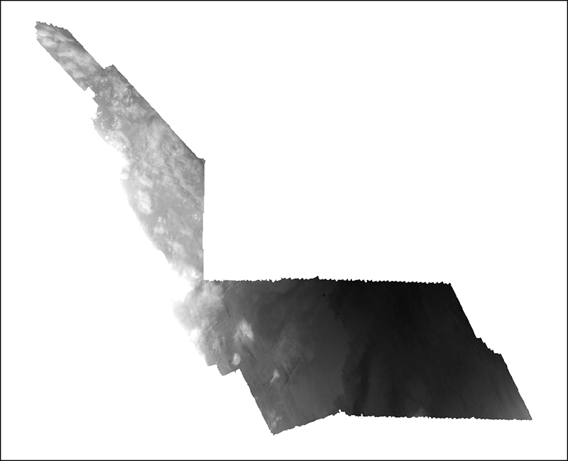
| Use_Constraints | Public domain data from the U.S. Government are freely redistributable with proper metadata and source attribution. Please recognize the U.S. Geological Survey (USGS) as the source of this information. Additionally, there are limitations associated with eologic mapping interpretations. Because of the scale and line spacing of the source seismic profiles, not all changes in seafloor geology are captured. Horizons are inferred between seismic lines, and unit exents and thicknesses should be considered an approximation of the location of a change in geology. Further, a constant seismic velocity of 1,500 m/s was assumed for all profiles in all sediment types, which may result in inaccurate depths of stratigraphic units. |
| Data format: | WinZip file contains an Esri Grid (and associated metadata) that defines the elevation of the Holocene transgressive unconformity beneath the Massachusetts inner shelf between Nahant and northern Cape Cod Bay. in format AIG (version ArcGIS 9.3.1) Esri Grid Size: 1.01 |
|---|---|
| Network links: |
http://pubs.usgs.gov/of/2012/1157/GIS_catalog/Stratigraphy/Ut/surface/Ut_50m.zip http://pubs.usgs.gov/of/2012/1157/html/GIS_catalog.html http://pubs.usgs.gov/of/2012/1157/ |