Online Links:
Online Links:
This data set contains a grid representing the elevation (NAVD88) of the Holocene transgressive surface beneath the inner continental shelf offshore of Fire Island, New York. Approximately 2200 line kilometers of chirp sub-bottom data collected with an EdgeTech Geo-Star FSSB sub-bottom profiling system and an SB-0512i towfish (0.5-12 kHz) during USGS survey 2011-005-FA, were analyzed to produce this surface. The Holocene transgressive surface is used in assessing relationships between geologic framework, sea-bed morphology, and sediment textural trends.
Online Links:
Online Links:
Online Links:
Are there legal restrictions on access or use of the data?Access_Constraints: none
Use_Constraints:Public domain data from the U.S. Government are freely redistributable with proper metadata and source attribution. Please recognize the U.S. Geological Survey as the originator of the dataset.
Neither the U.S. Government, the Department of the Interior, nor the USGS, nor any of their employees, contractors, or subcontractors, make any warranty, express or implied, nor assume any legal liability or responsibility for the accuracy, completeness, or usefulness of any information, apparatus, product, or process disclosed, nor represent that its use would not infringe on privately owned rights. The act of distribution shall not constitute any such warranty, and no responsibility is assumed by the USGS in the use of these data or related materials. Any use of trade, product, or firm names is for descriptive purposes only and does not imply endorsement by the U.S. Government.
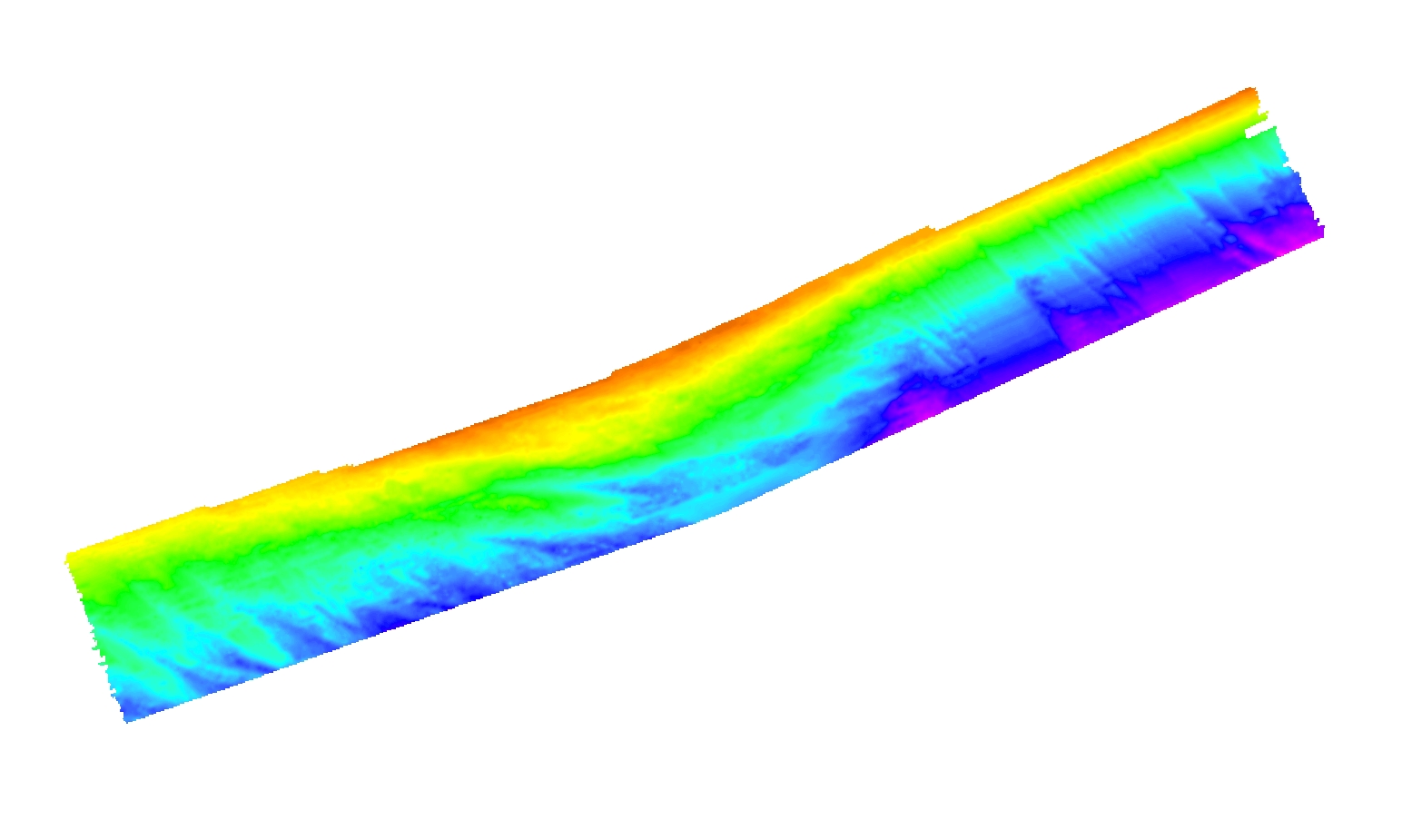
Data format: | WinZip file (version 14.0) contains three Esri grids (and associated metadata) that define the Holocene sediment thickness (in meters, fi_hiso), the elevation of the Holocene transgressive surface (NAVD88, fi_hts), and the elevation of the coastal plain unconformity beneath the inner-continental shelf offshore of Fire Island, NY (NAVD88, fi_cpun). The zip file also contains layer files (.lyr) to aid in display of the data within ArcGIS. in format AIG (version ArcGIS 9.3.1) Esri Raster GRID format Size: 1.6 |
---|---|
Network links: |
http://pubs.usgs.gov/of/2014/1203/data/GIS/grids/fi_seismic.zip http://pubs.usgs.gov/of/2014/1203/ofr2014-1203-data_catalog.html |
none
These data are available as a ArcInfo 32-bit floating point binary grid in Esri format. The floating point binary grid and associated 'info' folder are stored in one folder 'seismic' that has been compressed using WinZip (ver. 14.0) software. To utilize these data, the user must have software capable of uncompressing the zip file and importing and viewing an Esri ArcRaster grid. The zip file also contains associated metadata.