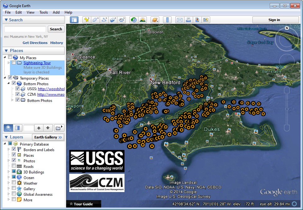
Google Earth KMZ files showing the location of bottom photographs with biological interpretations collected by the U.S. Geological Survey offshore of Massachusetts in Buzzards Bay and Vineyard Sound in September 2010 on the RV Connecticut (BBVS_KMZ_BottomPhotos_wBio.kmz and BBVS_KMZ_BottomPhotos_wBio_AttachedFauna.kmz)
These data were collected under a cooperative agreement with the Massachusetts Office of Coastal Zone Management (CZM) and the U.S. Geological Survey (USGS), Coastal and Marine Geology Program. The primary objective of this program, initiated in 2003, is to develop regional geologic framework information for the management of coastal and marine resources. Accurate data and maps of sea-floor geology are important first steps toward protecting fish habitat, delineating marine resources, and assessing environmental changes due to natural or human effects. The project is focused on the inshore waters (5-30 meters deep) of Massachusetts. Data collected for the mapping cooperative have been released in a series of USGS Open-File Reports (
http://woodshole.er.usgs.gov/project-pages/coastal_mass/html/current_map.html). This spatial dataset is from the study area located in Buzzards Bay and Vineyard Sound Massachusetts, and consists of ground-validation data which include the spatial extent of sea-floor sediment sample analyses, the location of sea-floor bottom photographs, and the tracklines along which sea-floor video was collected. These ground-validation (or ground-truth) data accompany a suite of high-resolution geophysical data, including swath bathymetry, sidescan-sonar backscatter intensity, and seismic-reflection data that were released in USGS Open File Reports 2012-1002 and 2012-1006. The sea-floor sampling data were collected during USGS survey 2010-005-FA in 2010 and cover more than 750 square kilometers of the inner continental shelf where the geophysical data were collected in 2009 and 2010.