Online Links:
Online Links:
| Value | Definition |
|---|---|
| G | The end-member texture (= or > 90%) Gravel (G) is the primary texture. |
| Gs | The dominant texture (> 50%) Gravel (G) is given the upper case letter and the subordinate texture (< 50%) sand (s) is given a lower case letter. |
| S | The end-member texture (= or > 90%) Sand (S) is the primary texture. |
| Sg | The dominant texture (> 50%) Sand (S) is given the upper case letter and the subordinate texture (< 50%) gravel (g) is given a lower case letter. |
| Sm | The dominant texture (> 50%) Sand (S) is given the upper case letter and the subordinate texture (< 50%) mud (m) is given a lower case letter. |
| Ms | The dominant texture (> 50%) Mud (M) is given the upper case letter and the subordinate texture (< 50%) sand (s) is given a lower case letter. |
| Rg | The dominant texture (> 50%) Rock (R) is given the upper case letter and the subordinate texture (< 50%) gravel (g) is given a lower case letter. |
| Rs | The dominant texture (> 50%) Rock (R) is given the upper case letter and the subordinate texture (< 50%) sand (s) is given a lower case letter. |
| Gr | The dominant texture (> 50%) Gravel (G) is given the upper case letter and the subordinate texture (< 50%) rock (r) is given a lower case letter. |
| Sr | The dominant texture (> 50%) Sand (S) is given the upper case letter and the subordinate texture (< 50%) rock (r) is given a lower case letter. |
| Value | Definition |
|---|---|
| 1 | Sediment texture regions that were defined on the basis of the highest resolution bathymetry (10m) and backscatter (1m), bottom photos, sediment samples with laboratory analysis, and seismic interpretations were given the highest data interpretation confidence value of 1. |
| 2 | Sediment texture regions that were defined on the basis of the highest resolution bathymetry (10m), backscatter (1m), and seismic data, and possibly bottom photos and/or qualitative descriptions of sediment samples, but no sediment samples with laboratory analysis were given the data interpretation confidence value of 2 |
| 3 | Sediment texture regions that were defined on the basis of the highest resolution bathymetry (10m) and backscatter (1m), possibly bottom photos, and possibly sediment samples with laboratory analysis and/or qualitative descriptions, but no seismic interpretations were given the data interpretation confidence value of 3. |
| 4 | Sediment texture regions that were defined on the basis of the highest resolution bathymetry (10m) and/or lidar bathymetry, possibly bottom photos, and possibly sediment samples with laboratory analysis and/or qualitative descriptions, but no acoustic backscatter or seismic interpretations were given the data interpretation confidence value of 4. |
| 5 | Sediment texture regions that were defined on the basis of low-resolution leadline and/or single beam bathymetry, possibly bottom photos, and possibly sediment samples with laboratory analysis and/or qualitative descriptions were given the lowest data interpretation confidence value of 5. |
| Value | Definition |
|---|---|
| sand | Sediment whose primary component (> 50%) is sand |
| hardbottom | Sediment whose primary component is rock, boulder, cobble, or coarse gravel |
| mud | Sediment whose primary component (> 50%) is silt and clay |
| Value | Definition |
|---|---|
| coarse gravel | sediment class whose phi size is between -4 and -5 |
| coarse silt | sediment class whose phi size is between 4 and 5 |
| coarse sand | sediment class whose phi size is between 0 and 1 |
| cobble | sediment class whose phi size is between -6 and -8 |
| fine gravel | sediment class whose phi size is between -2 and -3 |
| fine sand | sediment class whose phi size is between 2 and 3 |
| fine silt | sediment class whose phi size is between 6 and 7 |
| medium gravel | sediment class whose phi size is between -3 and -4 |
| medium sand | sediment class whose phi size is between 2 and 1 |
| medium silt | sediment class whose phi size is between 5 and 6 |
| very coarse gravel | sediment class whose phi size is between -5 and -6 |
| very coarse sand | sediment class whose phi size is between 0 and -1 |
| very fine gravel | sediment class whose phi size is between -1 and -2 |
| very fine sand | sediment class whose phi size is between 3 and 4 |
| very fine silt | sediment class whose phi size is between 7 and 8 |
| -999 | sediment class whose phi size could not be determined from grain size data or there were no samples with laboratory analyzed grain size statistics within the polygon |
| Range of values | |
|---|---|
| Minimum: | 0.000001 |
| Maximum: | 90.567 |
| Units: | square kilometers |
| Resolution: | 0.000001 |
| Range of values | |
|---|---|
| Minimum: | 0 |
| Maximum: | 52 |
| Units: | count |
| Resolution: | 1 |
| Range of values | |
|---|---|
| Minimum: | 0 |
| Maximum: | 70.88 |
| Units: | percent |
| Range of values | |
|---|---|
| Minimum: | 11.50 |
| Maximum: | 100 |
| Units: | percent |
| Range of values | |
|---|---|
| Minimum: | 0 |
| Maximum: | 66.49 |
| Units: | percent |
| Range of values | |
|---|---|
| Minimum: | 0 |
| Maximum: | 22.14 |
| Units: | percent |
| Range of values | |
|---|---|
| Minimum: | -2.28 |
| Maximum: | 6.63 |
| Units: | phi |
| Resolution: | 0.01 |
| Range of values | |
|---|---|
| Minimum: | -32.95 |
| Maximum: | -1.37 |
| Units: | meters |
| Resolution: | 0.01 |
Online Links:
Online Links:
Online Links:
Online Links:
Online Links:
Online Links:
Online Links:
Online Links:
Online Links:
Online Links:
Online Links:
Online Links:
Online Links:
Online Links:
| Access_Constraints | None |
|---|---|
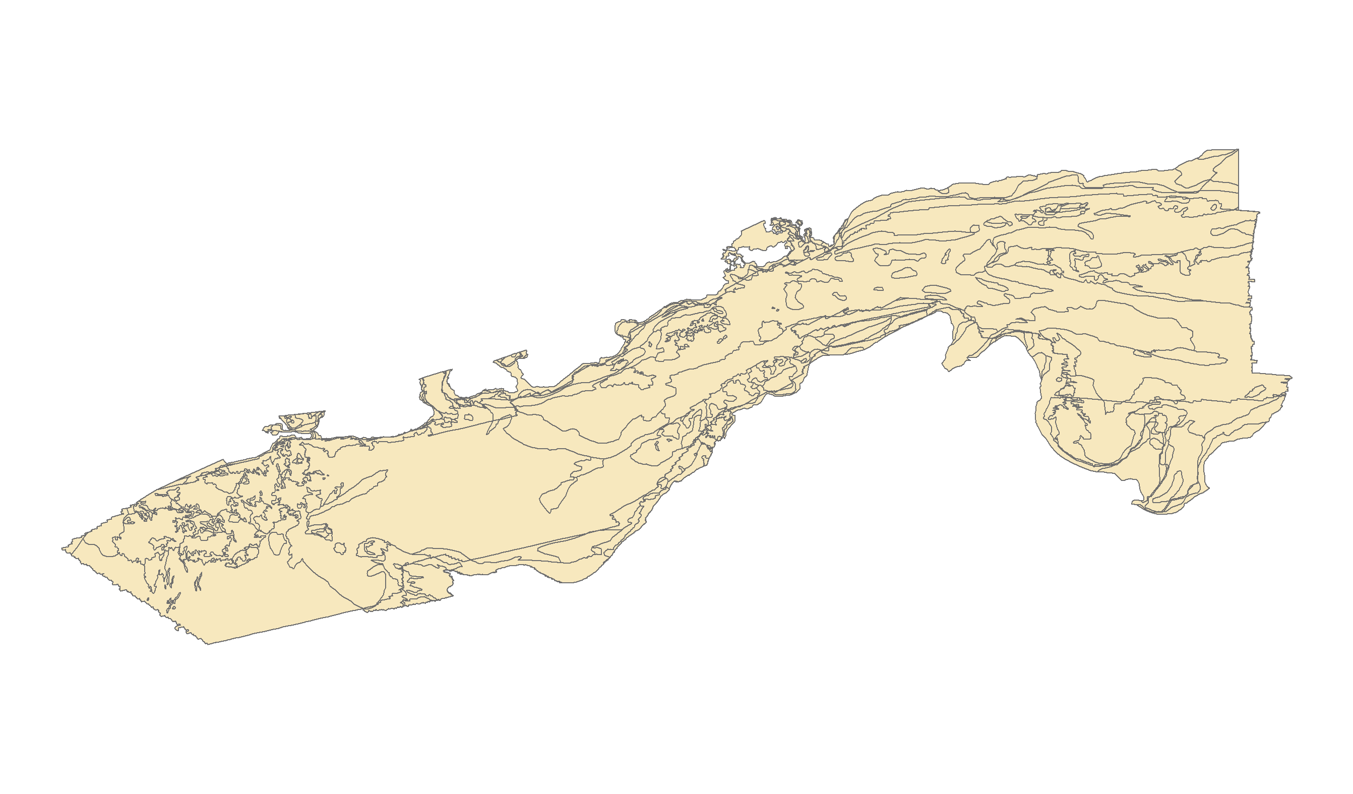
| Use_Constraints | Not to be used for navigation. Public domain data from the U.S. Government are freely redistributable with proper metadata and source attribution. Please recognize the U.S. Geological Survey (USGS) as the source of this information. Additionally, there are limitations associated with qualitative sediment mapping interpretations. Because of the scale of the source geophysical data and the spacing of samples, not all changes in sea floor texture are captured. The data were mapped between 1:5,000 and 1:20,000, but the recommended scale for application of these data is 1:25,000. |
| Data format: | WinZip v. 14.5 file contains qualitatively derived polygons that define sea floor texture and distribution from Vineyard and western Nantucket Sounds, MA and the associated metadata. in format Shapefile (version ArcMap 9.3.1) Esri Polygon Shapefile Size: 1.16 |
|---|---|
| Network links: |
http://pubs.usgs.gov/of/2016/1119/GIS_catalog/SedimentTexture/VineyardNantucketSound_sedcover.zip http://pubs.usgs.gov/of/2016/1119/ofr20161119_data_catalog.html |