Ground temperature data of Barter Island bluffs collected in 2016
By Neil Foley, Slawek Tulaczyk, Ferdinand K. J. Oberle, Cordell Johnson, Peter Swarzenski, Bruce Richmond, Ann E. Gibbs, Li H. Erikson, and Tom Lorenson
https://doi.org/10.5066/P13OM8JN
Dates
Published: April 22, 2026
Summary
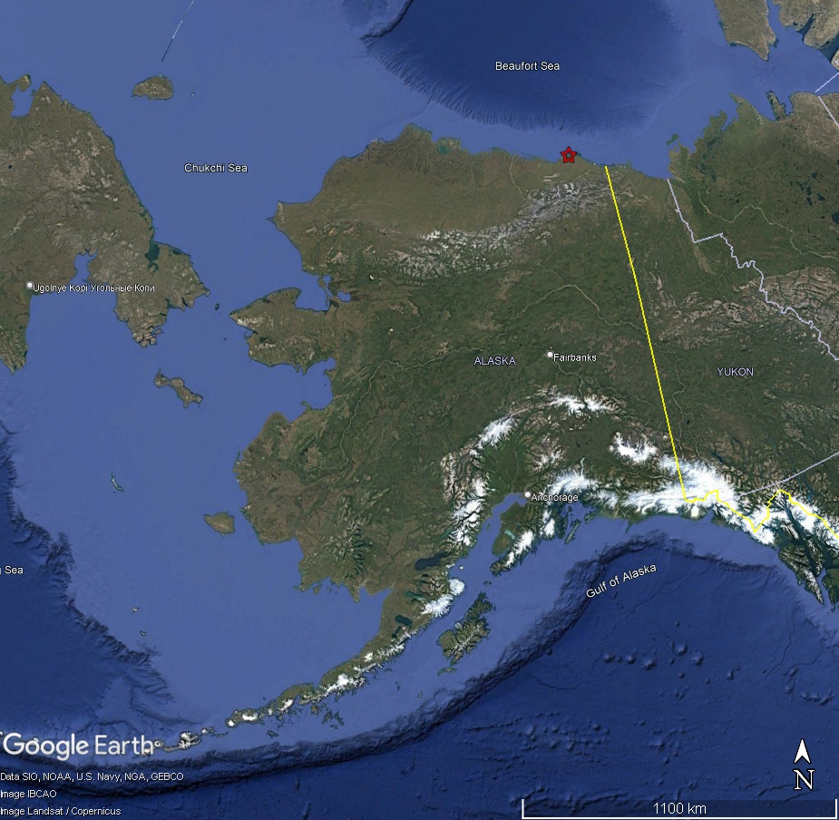
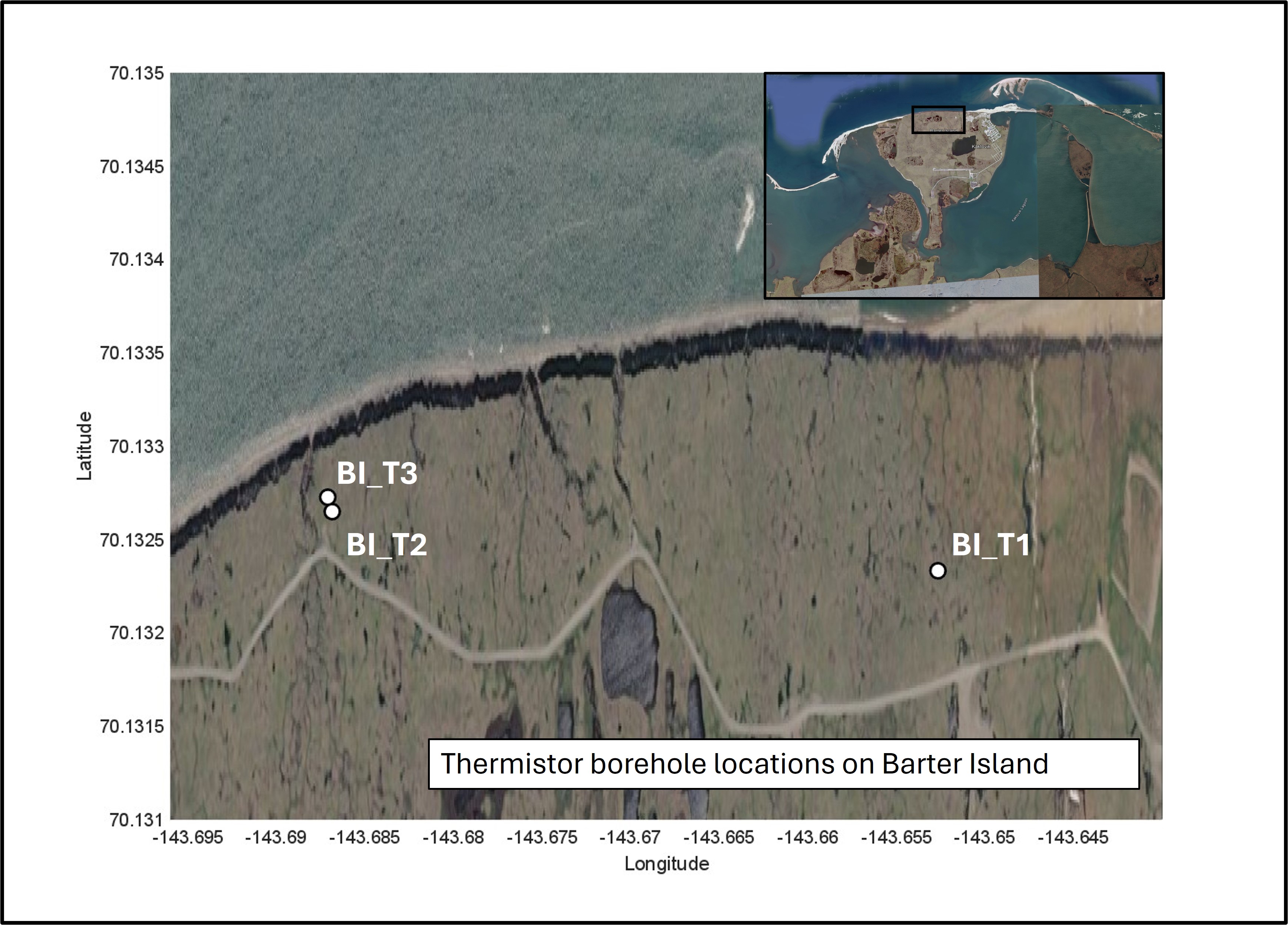
Thermistor strings with sensors spaced at 25-centimeter intervals were installed in three boreholes extending from the ground surface to depths of up to 4.25 meters at Barter Island, Alaska. The sites were located near the bluff edge overlooking the open Beaufort Sea coast. Temperature measurements were programmed to be collected hourly from late spring through early fall in 2016 (May 31 to September 15). Because the solar- and battery-powered instrument occasionally experienced limited power availability, the dataset contains some gaps.
Environmental Data
-
Ground temperature data of Barter Island bluffs collected in 2016
Thermistor strings with sensors spaced at 25-centimeter intervals were installed in three boreholes extending from the ground surface to depths of up to 4.25 meters at Barter Island, Alaska. The sites were located near the bluff edge overlooking the open Beaufort Sea coast. Temperature measurements were programmed to be collected hourly from late spring through early fall in 2016 (May 31 to September 15). Because the solar- and battery-powered instrument occasionally experienced limited power availability, the dataset contains some gaps.
Data Files
GroundTemperatureData_BarterIsland.csv - 2.5 MB - MD5:a92ad203f69d9fef7b41c65e8b1a61ef
Metadata Files
GroundTemperatureData_BarterIsland.xml - 15.2 KB
GroundTemperatureData_BarterIsland.txt - 15.1 KB
 Satellite image showing the locations where elevation data were collected
Suggested Citation
Foley, N., Tulaczyk, S., Oberle, F.K.J., Johnson, C.D., Swarzenski, P., Richmond, B.M., Gibbs, A., Erikson, L., and Lorenson, T., 2026, Ground temperature data of Barter Island bluffs collected in 2016: U.S. Geological Survey data release, https://doi.org/10.5066/P13OM8JN.
Overview Image