In situ field data, Coastal Alaska, 2023 to 2025
By Li H. Erikson, Ann E. Gibbs, Richard M. Buzard, Daniel J. Nowacki, Alexander G. Snyder, Anita C. Engelstad, Cordell Johnson, Alex L. Nereson, Jin-Si R. Over, Paul Russel, and Colin Lyons
https://doi.org/10.5066/P13YIWKC
Dates
Published: July 10, 2025
Summary
These field data such as first floor elevation and bathymetric surveys were collected to support development of coastal mapping products and advance storm response and recovery in Alaskan coastal communities. The data consists of essential community infrastructure elevation data to better understand flood exposure and support analysis of flood mitigation solutions, bathymetric surveys to improve bathymetric maps, and measurements for testing and developing models and improving understanding of oceanographic processes in western Alaska. This product may be of use by scientists, emergency responders, managers, planners, and residents of western coastal Alaska.
Location-Elevation Data
-
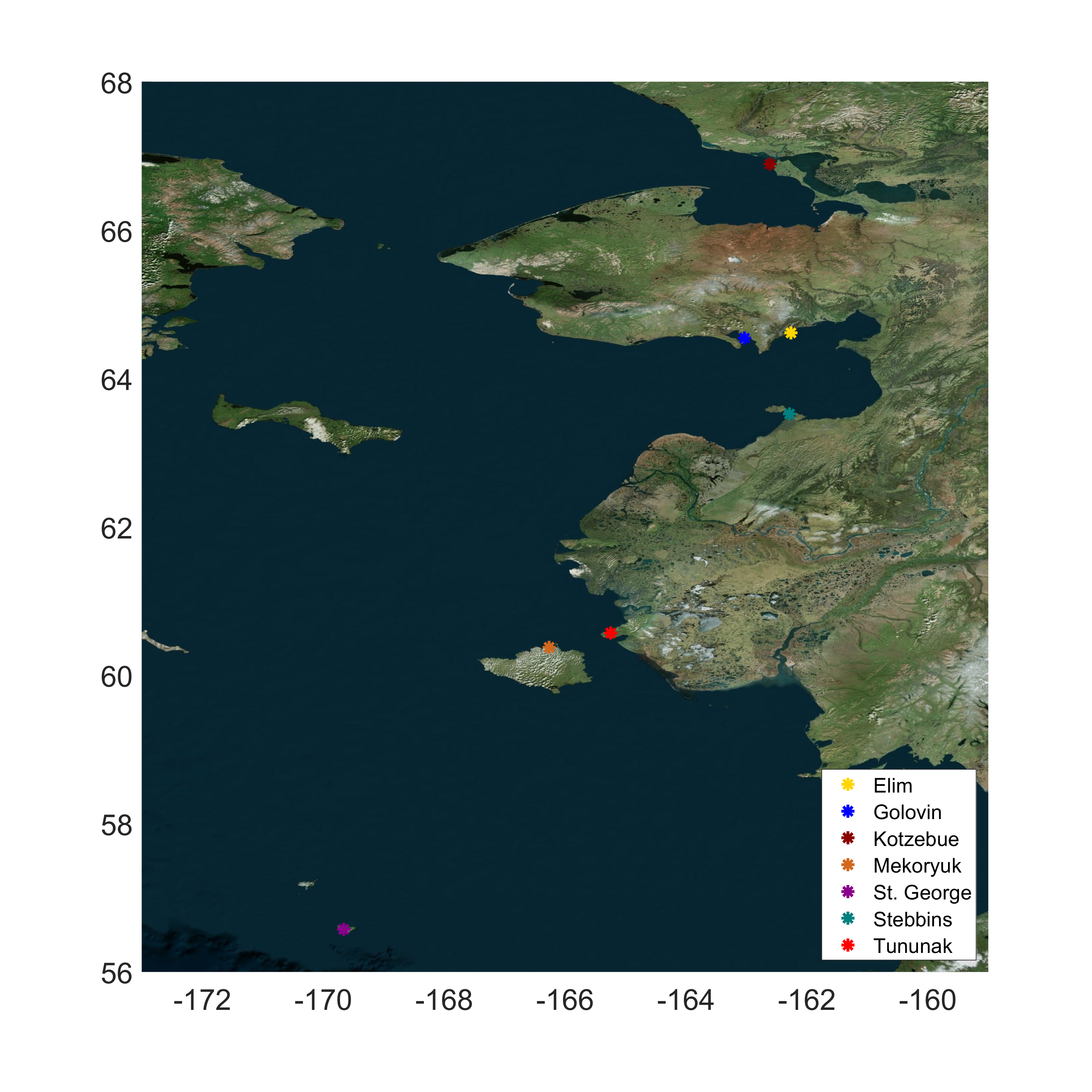
First finished floor elevation data collected in seven Alaska communities, geographic coordinate system
First finished floor elevation data, as well as ground survey points for critical infrastructure, for example bridges, fuel farms, and power generators, were collected in Elim, Golovin, Kotzebue, Mekoryuk, Saint George, Stebbins, and Tununak, Alaska. The elevation data were collected with real-time kinematic global navigation satellite system (RTK-GNSS) equipment. Data are available in CSV file format. Two files are available per community: one in a geographic coordinate system (this dataset) and the other in the Alaska State Plane coordinate system (in this same data release). Additionally, the supplemental survey reports are provided.
Data Files
FFE_7AlaskaCommunities_GeographicCoordinates.zip - 29.0 KB
Metadata Files
FFE_GeographicCoordinates_metadata.xml - 18.1 KB
FFE_GeographicCoordinates_metadata.txt - 17.7 KB
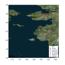
 Satellite image showing the communities where elevation data were collected.
 -
First finished floor elevation data collected in seven Alaska communities, state plane coordinate system
First finished floor elevation data, as well as ground survey points for critical infrastructure, for example bridges, fuel farms, and power generators, were collected in Elim, Golovin, Kotzebue, Mekoryuk, Saint George, Stebbins, and Tununak, Alaska. The elevation data were collected with real-time kinematic global navigation satellite system (RTK-GNSS) equipment. Data are available in CSV file format. Two files are available per community: one in the Alaska State Plane coordinate system (this dataset) and the other in a geographic coordinate system (in this same data release). Additionally, the supplemental survey reports are provided.
Data Files
FFE_7AlaskaCommunities_AKStatePlaneCoordinates.zip - 36.1 KB
Metadata Files
FFE_AKStatePlaneCoordinates_metadata.xml - 20.5 KB
FFE_AKStatePlaneCoordinates_metadata.txt - 20.3 KB
 Satellite image showing the communities where elevation data were collected.
 -
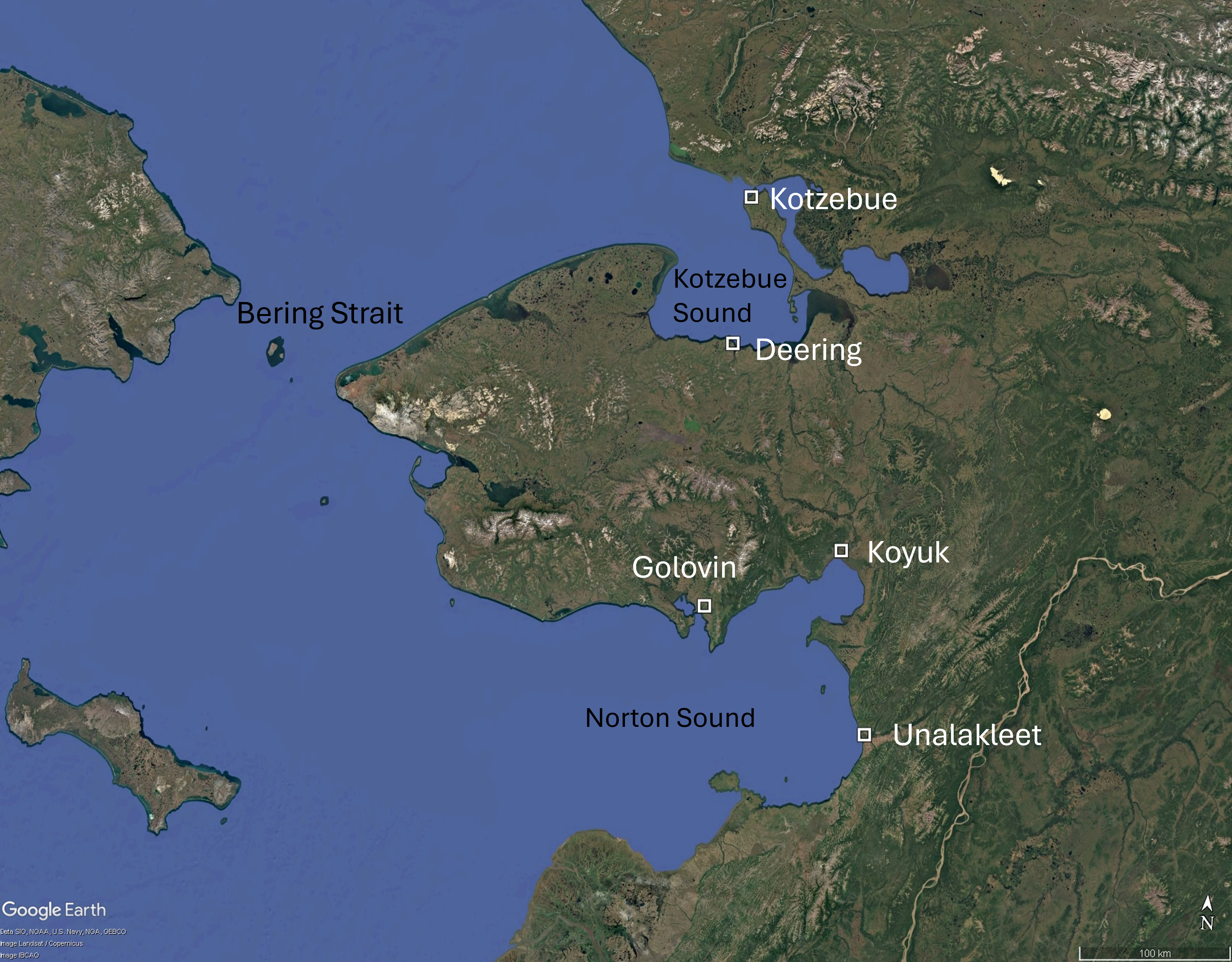
GNSS elevation data collected in 2024 on beaches and areas relevant to flood hazard studies in Alaska communities
Elevation point data were collected in Deering, Golovin, Koyuk, Kotzebue, and Unalakleet, Alaska between June and September 2024. Coastal elevation profiles were measured at previously established locations. Other data points are categorized as base station, bathymetry, benchmark, camera calibration data, community-based monitoring profile, drainage observation, flood staff, ground control point, miscellaneous, and water level. The elevation data were collected with real-time kinematic global navigation satellite system (RTK-GNSS) equipment. Data are available in a single CSV file per community. For easting and northing coordinates, Deering, Golovin, and Kotzebue use UTM 3. Unalakleet and Koyuk use UTM 4.
Data Files
GNSS_ElevationData_Deering_202407.csv - 51.4 KB
GNSS_ElevationData_Golovin_202409.csv - 142.8 KB
GNSS_ElevationData_Kotzebue_202407.csv - 12.3 KB
GNSS_ElevationData_Koyuk_202407.csv - 52.8 KB
GNSS_ElevationData_Unalakleet_202406.csv - 214.6 KB
Metadata Files
GNSS_ElevationData_metadata.xml - 20.8 KB
GNSS_ElevationData_metadata.txt - 20.8 KB
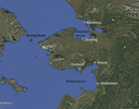 Satellite image showing the locations where elevation data were collected.

Sonar Data
-
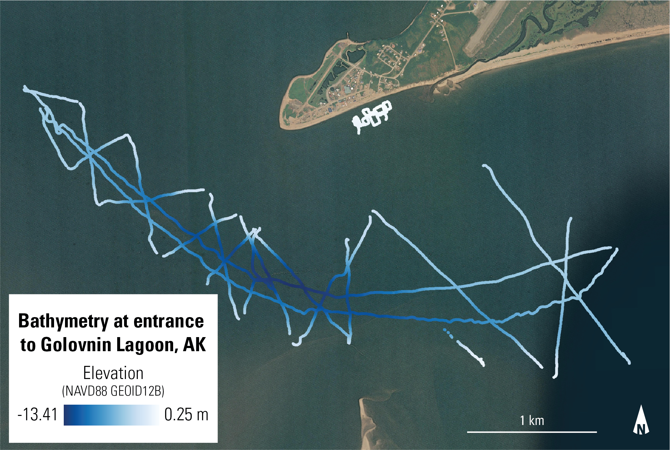
Bathymetry at entrance to Golovnin Lagoon, Alaska, 2024
This dataset contains nearshore bathymetry measurements collected at the entrance to Golovnin Lagoon, Alaska. The data were collected in September 2024 and subsequently processed by the U.S. Geological Survey, Pacific Coastal and Marine Science Center. Results are provided in a comma-separated value format (csv).
Data Files
bathymetry_golovnin_lagoon_2024.csv - 11.3 MB
Metadata Files
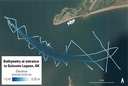 Satellite image overlain with bathymetry data points collected at the entrance to Golovnin Lagoon, Alaska in September 2024.
 -
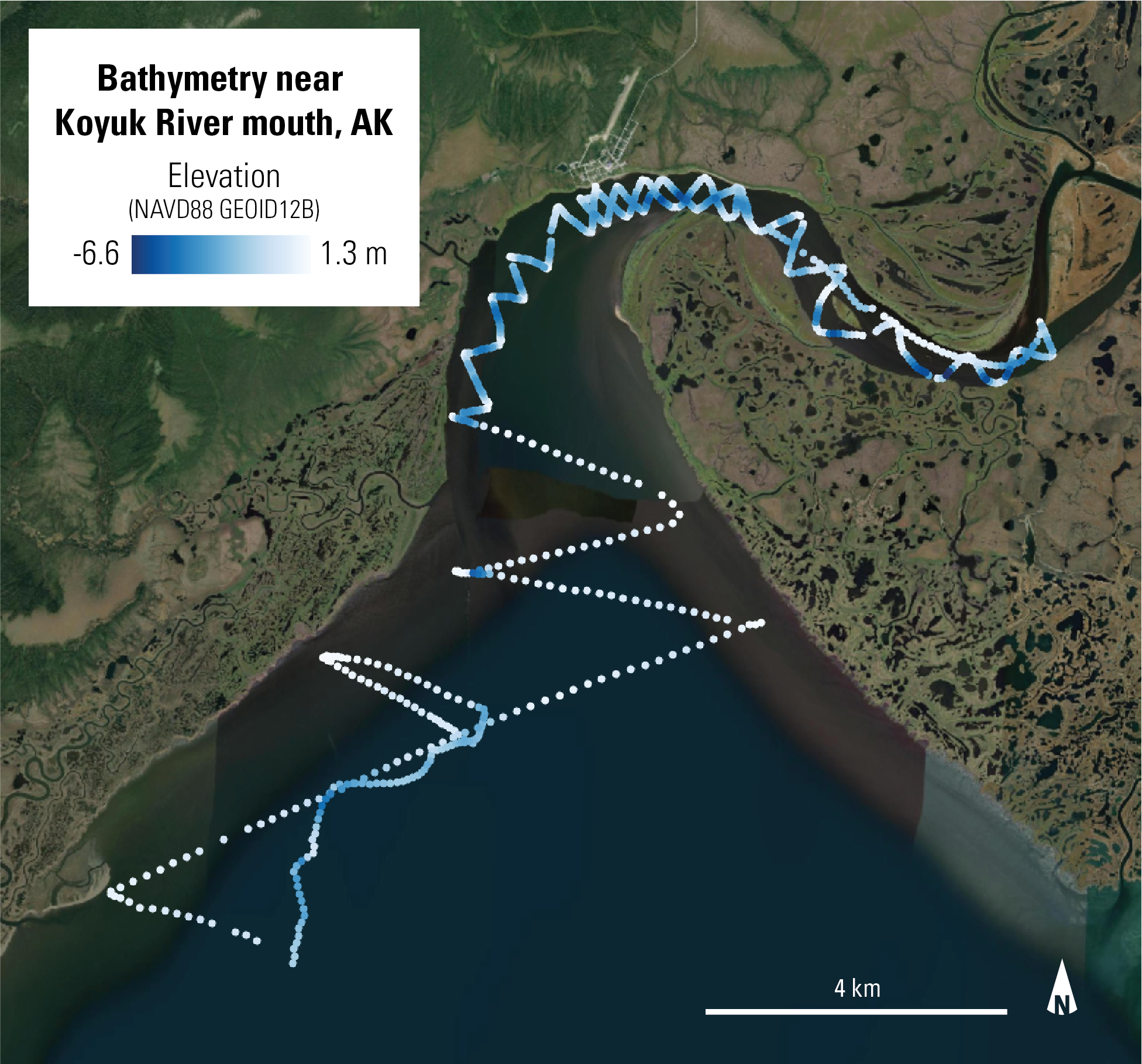
Nearshore bathymetry of the Koyuk River mouth, Alaska, 2024
This dataset contains nearshore bathymetry measurements collected at the mouth of the Koyuk River in Alaska. The data were collected in June 2024 and subsequently processed by the U.S. Geological Survey, Pacific Coastal and Marine Science Center. Results are provided in a comma-separated value format (csv).
Data Files
bathymetry_koyuk_river_mouth_20240609.csv - 44.1 KB
Metadata Files
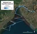 Satellite image overlain with bathymetry data points collected at the mouth of the Koyuk River, Alaska in June 2024.
Supplemental Files
- FFE_supplemental_SurveyReports.zip - 989.9 KB
Suggested Citation
Erikson L.H., Gibbs A.E., Buzard, R.M., Nowacki, D.J., Snyder A.G., Engelstad A.C., Johnson C., Nereson A.L., Over J.R., Russel, P., Lyons, C., 2025, In situ field data, Coastal Alaska, 2023 to 2025: U.S. Geological Survey data release, https://doi.org/10.5066/P13YIWKC.