Nearshore bathymetry at Point Barrow, Alaska, 2022
By Daniel J. Nowacki, Cordell Johnson, Joshua Logan, and Andrew W. Stevens
https://doi.org/10.5066/P15BS65X
Dates
Published: July 9, 2025
Summary
This data release contains nearshore bathymetry measurements collected at Point Barrow, Alaska in July 2022. These data were collected as part of an effort to monitor and forecast coastal flooding and erosion. They are also intended for reuse by scientists, managers, and the general public.
Sonar Data
-
Nearshore bathymetry at Point Barrow, Alaska, 2022
This dataset contains nearshore bathymetry measurements collected at Point Barrow, Alaska. The data were collected in July 2022 using a single beam echosounder and global navigation satellite system receiver and subsequently processed by the U.S. Geological Survey, Pacific Coastal and Marine Science Center. Results are provided in a comma-separated value format (csv).
Data Files
bathymetry_point_barrow_2022.csv - 6.0 MB - MD5:5cef87d6ba1716a3a960055ee1ce9b15
Metadata Files
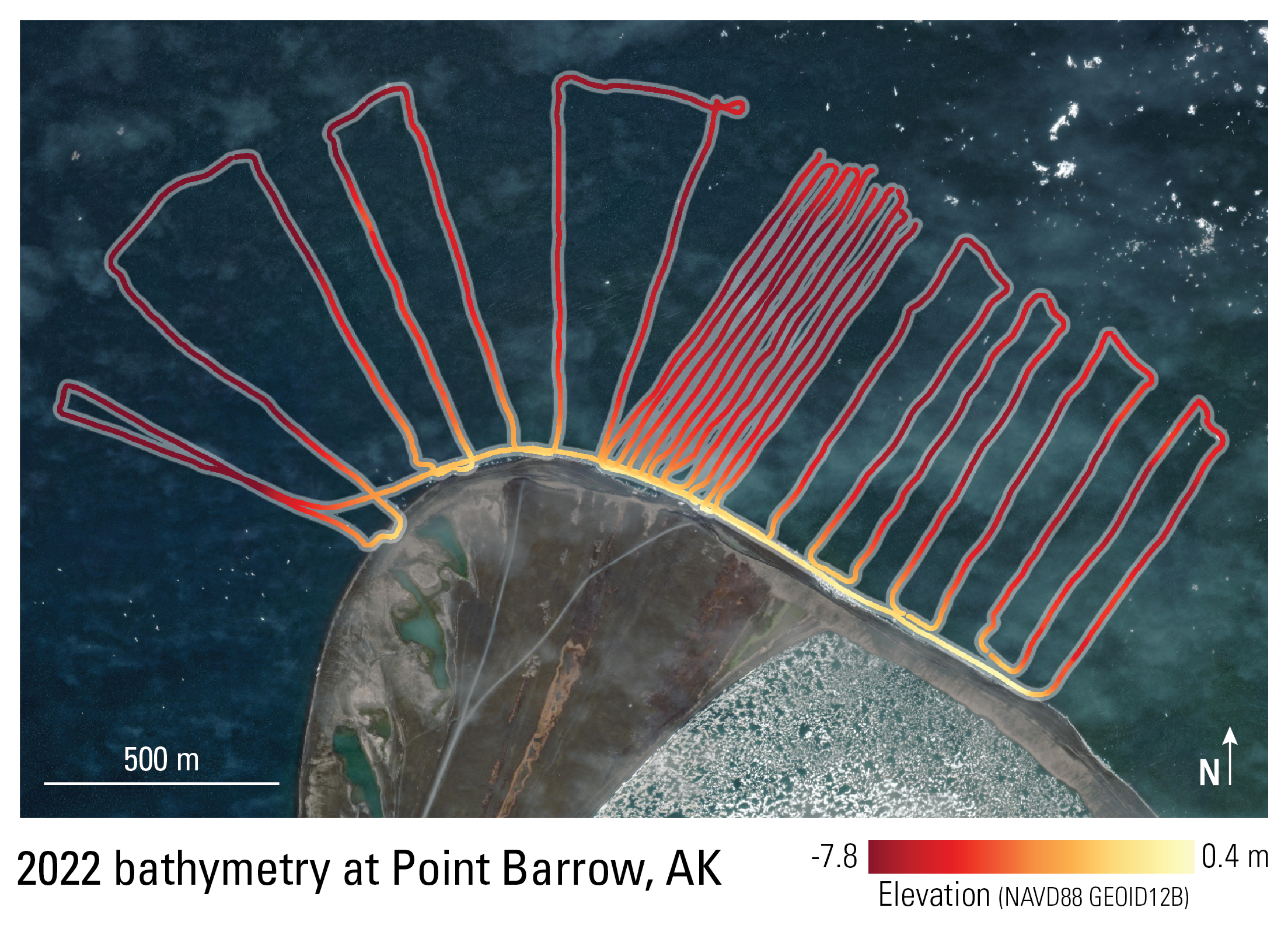
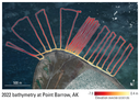 Satellite image overlain with bathymetry data points collected at Point Barrow, Alaska in July 2022
Related Field Activities
- 2022-642-FA - View Details
Suggested Citation
Nowacki, D.J., Johnson, C., Logan, J.B., and Stevens, A.W., 2025, Nearshore bathymetry at Point Barrow, Alaska, 2022: U.S. Geological Survey data release, https://doi.org/10.5066/P15BS65X.