Bathymetry and topography, video observation, and derived benthic habitat data offshore of Seattle, Washington
By Guy R. Cochrane
https://doi.org/10.5066/P9GVRZ3M
Dates
Published: Feb. 2, 2022
Summary
In 2010, the U.S. Environmental Protection Agency, Region 10, initiated the Puget Sound Scientific Studies and Technical Investigations Assistance Program, which was designed to support research for implementing the Puget Sound Action Agenda. The Action Agenda was created because Puget Sound was designated as one of 28 estuaries of National Significance under section 320 of the Clean Water Act, and its overall goal is to restore the environment of the Puget Sound Estuary by 2020. The Southern Salish Sea Mapping Project was funded through the Assistance Program request for proposal process which also supports a large number of coastal-zone- and ocean-management issues, and includes the recommendations of the Marine Protected Areas Work Group to the Washington State Legislature. These recommendations include a Puget Sound and coast-wide marine conservation needs assessment, gap analysis of existing Marine Protected Areas and recommendations for action.
Four areas with recently acquired National Ocean Service hydrographic data are included in the Southern Salish Sea Habitat Map Series, each to be published individually as USGS Open File Reports at a scale of 1:40,000. The map products display seafloor geoforms, substrate, and biotopes using the Coastal and Marine Ecological Classification Standard (CMECS). In this data release we are adding the data used to create maps for the Offshore of Seattle study area. Data for the Admiralty Inlet map area that were released in USGS Data Series 935 were not changed and are still available as originally published at https://doi.org/10.3133/ds935.
Biological Field Study Data
-
CMECS geoform, substrate, and biotopes offshore of Seattle, Washington
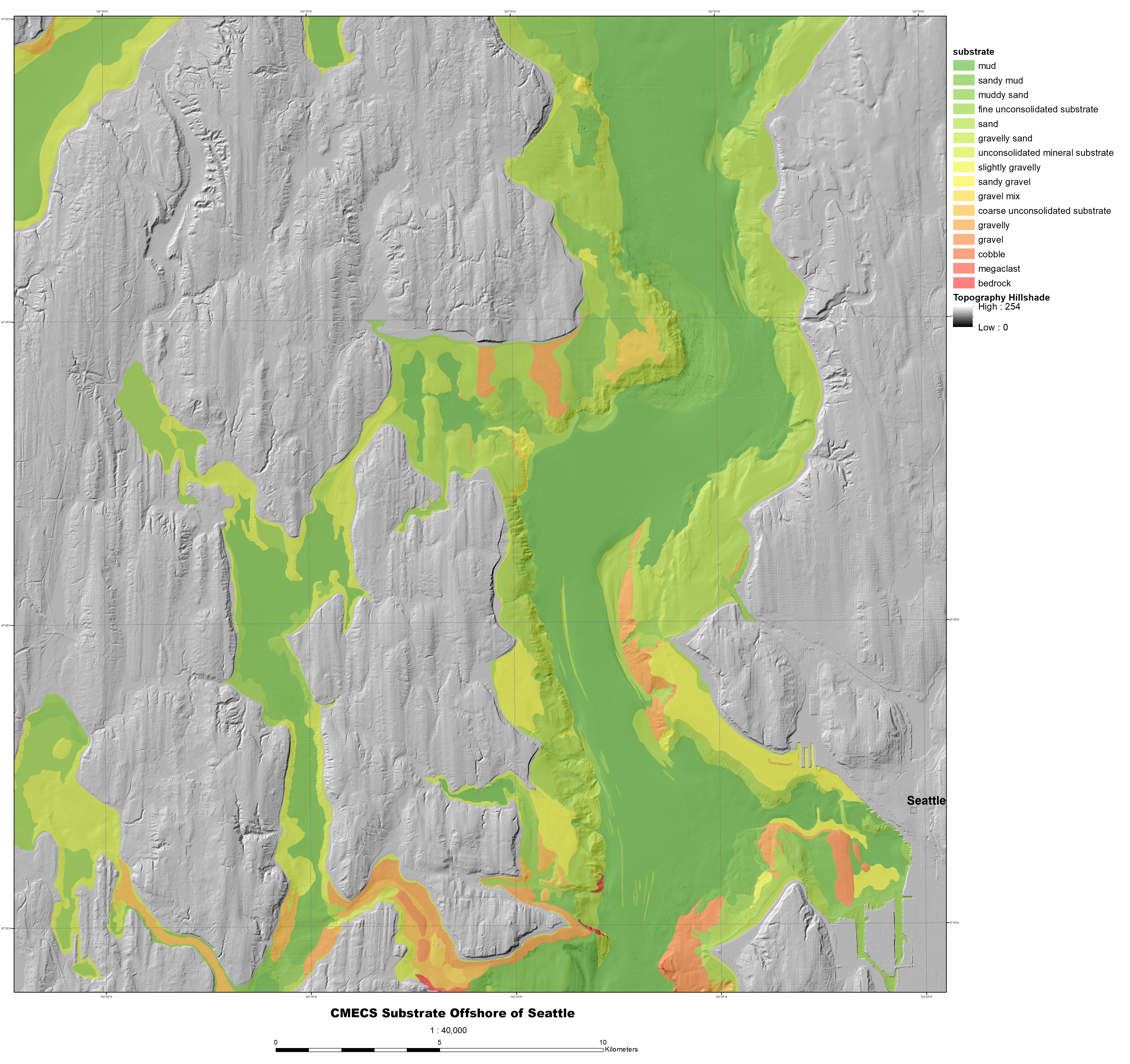
This part of USGS Data Series 935 (Cochrane, 2014) presents substrate, geomorphic, and biotope data in the Offshore of Seattle, California, map area, a part of the Southern Salish Sea Habitat Map Series. Given the variable bathymetric resolution, the complex geologic history of the region, and the lack of acoustic backscatter data, automated and semi-automated classification schemes of classifying seafloor substrate and geoform were deemed to have very low accuracy. Instead, classification of these properties was performed manually following the Coastal and Marine Ecological Classification Standard (CMECS; Madden and others, 2009) using observations from underwater video footage.
The best overall predictors of biotic assemblage were used to generate the CMECS biotopes. However, the nature of the biological data gathered makes it difficult to define clear biotopes. It was difficult to see or identify many organisms in the underwater video, and with an average of only 3-4 taxa identified per sampling unit, it is hard to characterize biotic assemblages. Some biological clusters of taxa were identified statistically for multiple map areas, and within each area, some of these groupings were found at consistent depths and/or with predictable substrates. The maps are not fine-grained enough to capture the physical variation seen within one-minute video units. Depth zones in the biotope map are based on Dethier (1992).Data Files
CMECS_OffshoreSeattle.zip - 1.9 MB
Metadata Files
CMECS_OffshoreSeattle_metadata.xml - 56.3 KB
CMECS_OffshoreSeattle_metadata.txt - 60.5 KB
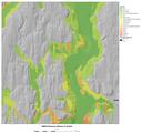 Shaded-relief map of Offshore of Seattle map area showing seafloor classified into CMECS substrate classes.
Sampling Data
-
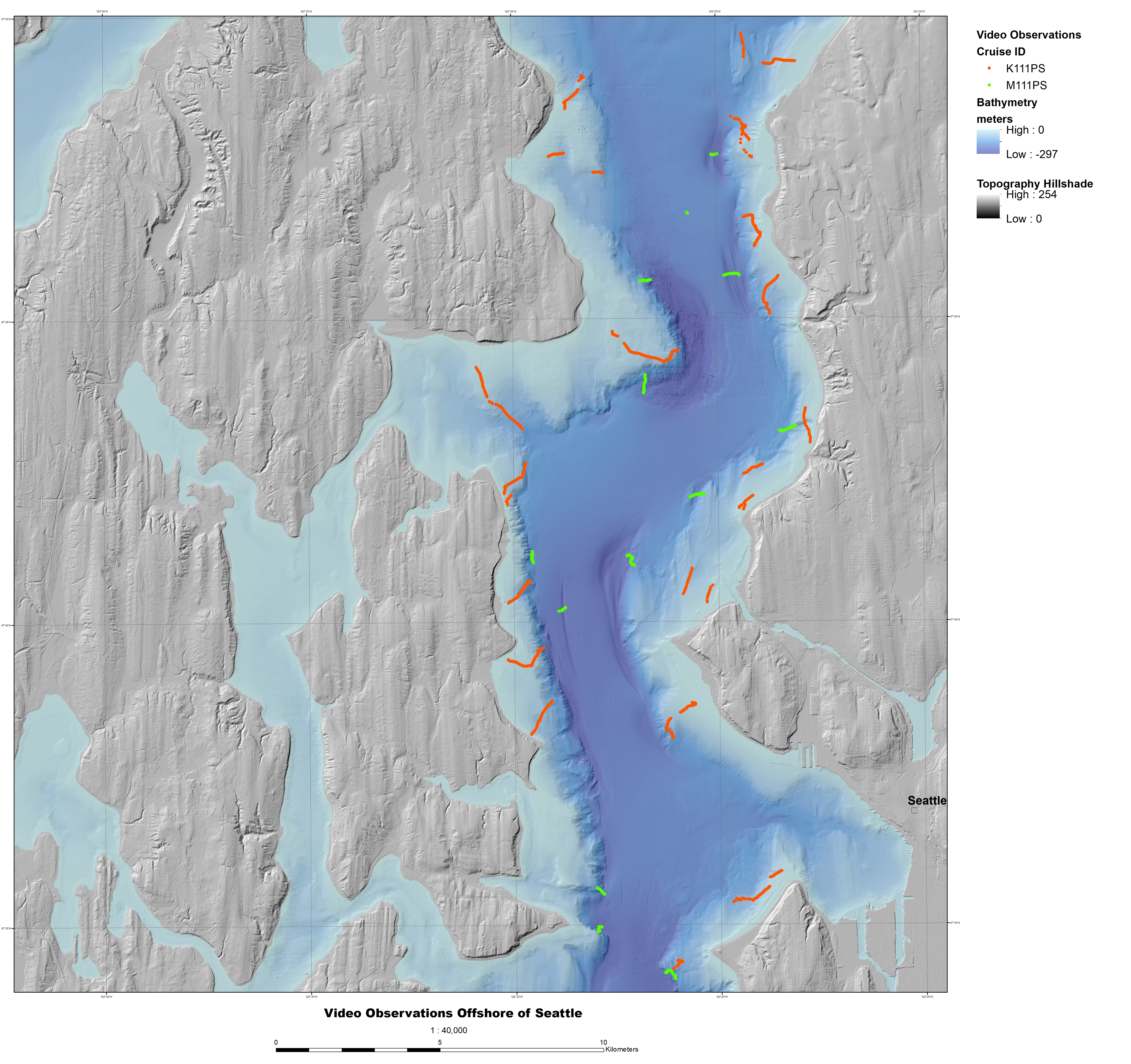
Underwater video observations offshore of Seattle, Washington
This part of USGS Data Series 935 (Cochrane, 2014) presents observations from underwater video collected in the Offshore of Seattle, California, map area, a part of the Southern Salish Sea Habitat Map Series. To validate the interpretations of multibeam sonar data and turn it into geologically and biologically useful information, the U.S. Geological Survey (USGS) towed a camera sled over specific locations throughout the Seattle map area to collect video and photographic data that would “ground truth” the seafloor. The ground-truth survey conducted in the Offshore of Seattle map area occurred in 2011 on the R/V Karluk (USGS field activity K0111PS) and on the Washington State Department of Fish and Game R/V Molluscan (USGS field activity M0111PS). The underwater camera sled was towed 1 to 2 m above the seafloor at speeds of between 1 and 2 nautical miles/hour. The surveys for this map area include approximately 6 hours (9.1 trackline km) of video.
Data Files
VideoObservations_OffshoreSeattle.csv - 338.2 KB
Metadata Files
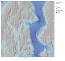 Shaded-relief map showing camera tracklines of underwater video collected in the Offshore of Seattle map area.
Sonar Data
-
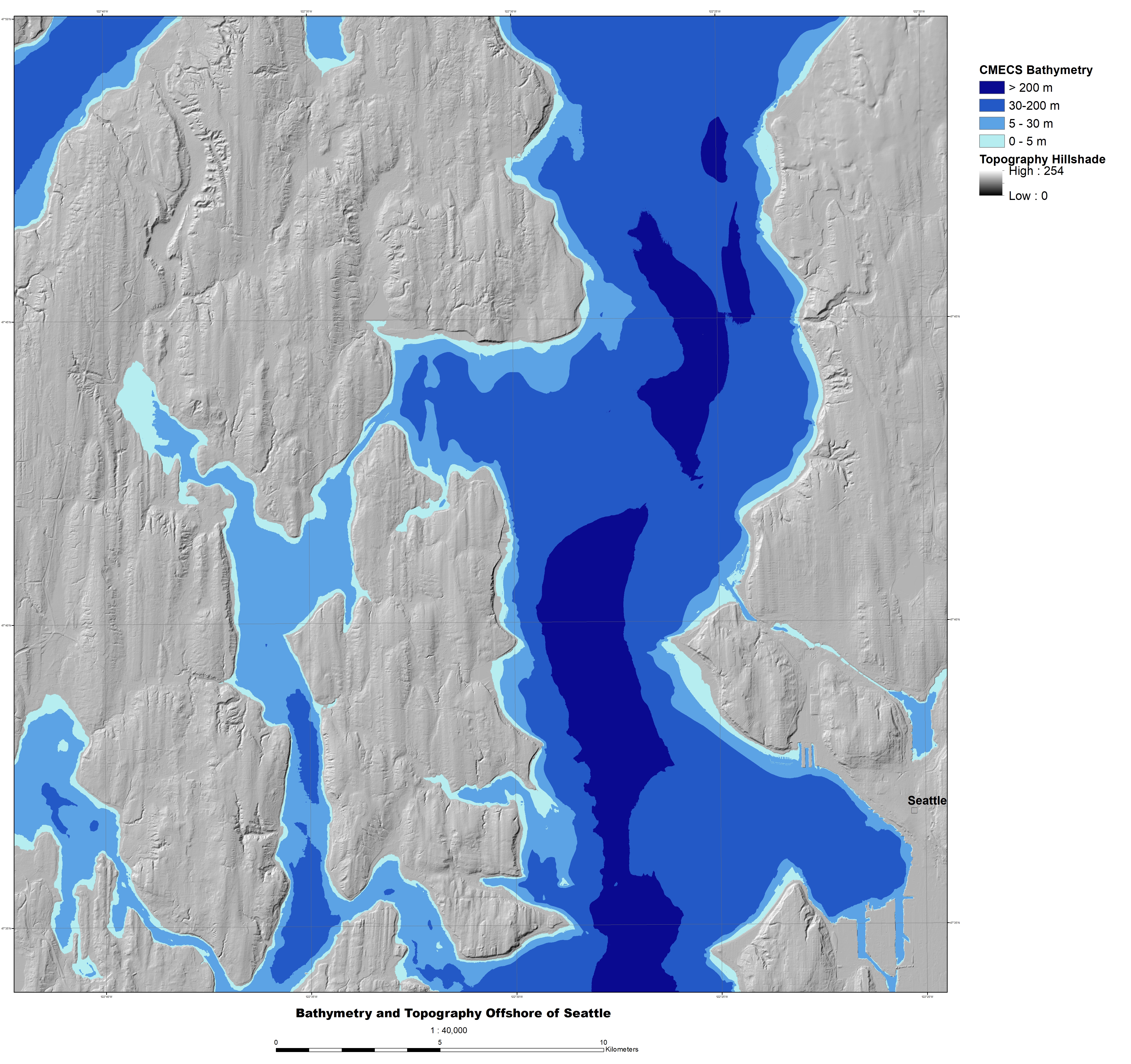
Bathymetry and topography data offshore of Seattle, Washington
This part of USGS Data Series 935 (Cochrane, 2014) presents bathymetry and topography data for the Offshore of Seattle, California, map area, a part of the Southern Salish Sea Habitat Map Series. The data for this map area are a combination of topography extracted from a pre-existing Digital Elevation Model (DEM) merged with bathymetry data that were collected by the National Oceanic and Atmospheric Administration (NOAA) using multibeam sonar systems. The merged data are available for download in a single zip file (BathyTopo_OffshoreSeattle.zip).
Data Files
BathyTopo_OffshoreSeattle.zip - 675.3 MB
Metadata Files
BathyTopo_OffshoreSeattle_metadata.xml - 17.4 KB
BathyTopo_OffshoreSeattle_metadata.txt - 16.9 KB
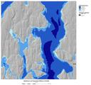 Shaded-relief map of Offshore of Seattle map area showing bathymetry divided into CMECS depth classes.
Suggested Citation
Cochrane, G.R., 2022, Bathymetry and topography, video observation, and derived benthic habitat data offshore of Seattle, Washington: U.S. Geological Survey data release, https://doi.org/10.5066/P9GVRZ3M.