Arias Intensity Assessment of Liquefaction Test Sites on the East Side of San Francisco Bay Affected by the Loma Prieta, California, Earthquake of 17 October 1989
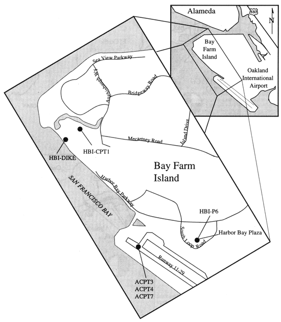
Figure 2
The northern part of Oakland International Airport and Bay Farm Island, showing locations of boreholes (dots).