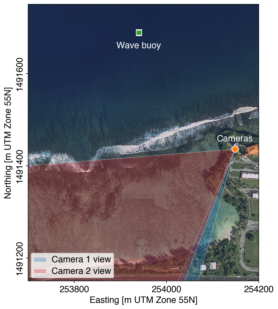
Guam coastal imagery and wavesNote: This station was decommissioned in April 2024 and data are not being updated. Provisional data subject to revision This page shows coastal imagery and wave characteristics near Adelup Point, Guam. Two fixed cameras were installed in January 2022 atop the Latte of Freedom, approximately 31 m above sea level. The cameras look roughly west-southwest; one is a zoom view of the beach shoreline and the other provides a wide-angle view of the reef west of Adelup Point, within War In The Pacific National Historical Park. Images are collected hourly when sufficient daylight exists. The wave buoy is located 200 m north of the reef crest in approximately 21 m water depth and records wave characteristics every half hour. These data are collected as part of the USGS Coral Reef Project. Times shown are in the local Chamorro Time Zone (ChST). The image below shows the approximate fields of view of the cameras and the location of the wave buoy.
The wave buoy was lost during Typhoon Mawar on 24 May 2023. We are working to redeploy a replacement buoy as soon as possible. Note: This station was decommissioned in April 2024 and data are not being updated. Snapshot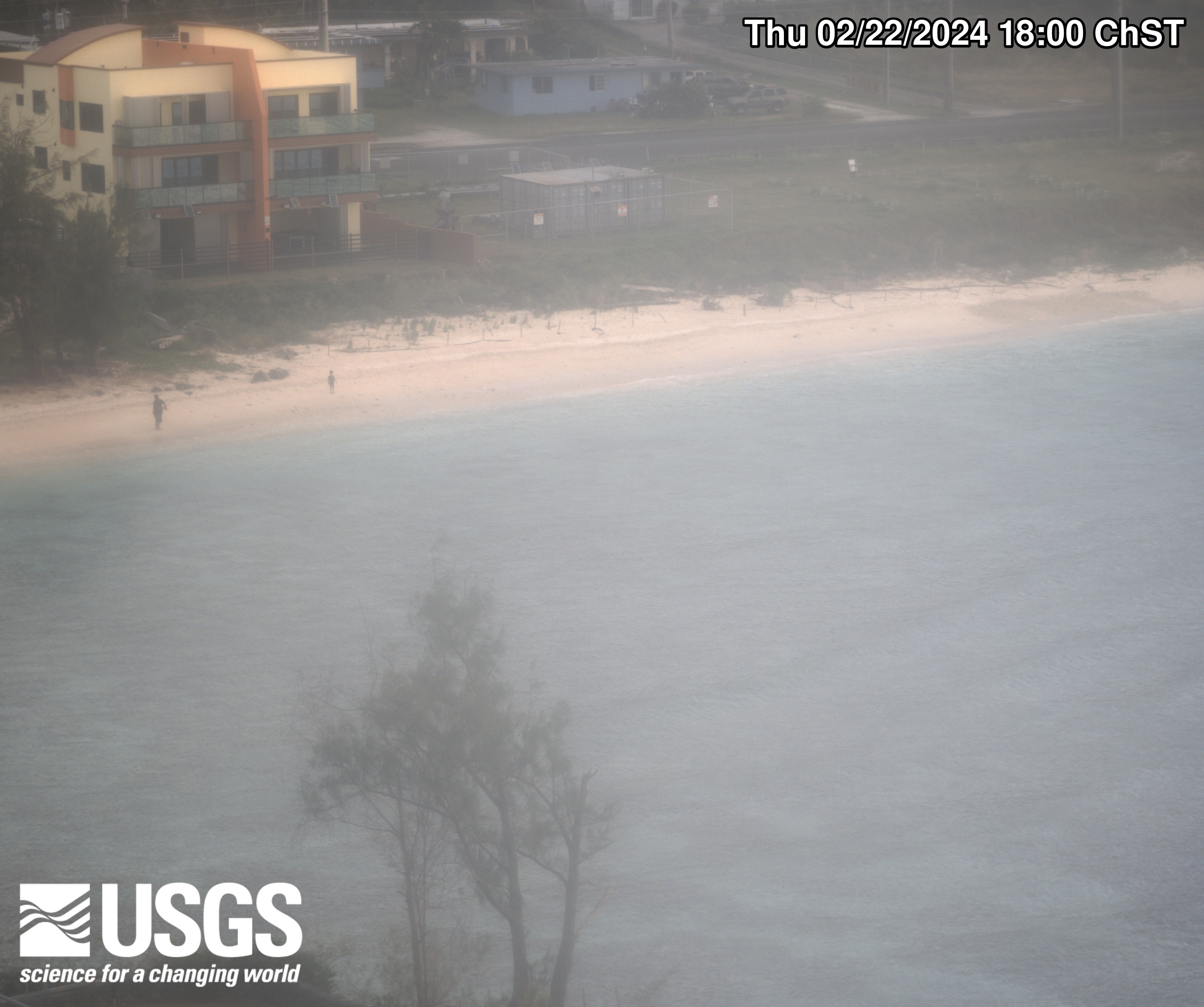 
Time exposure 
Bright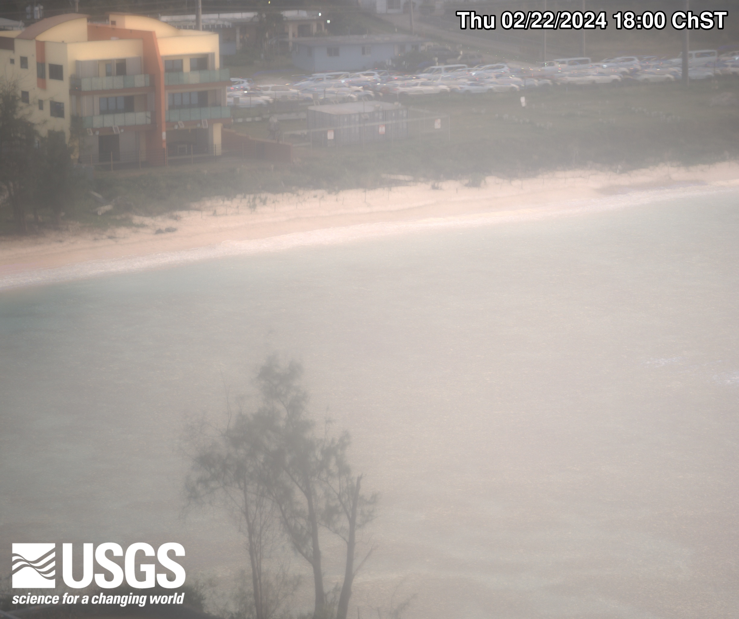 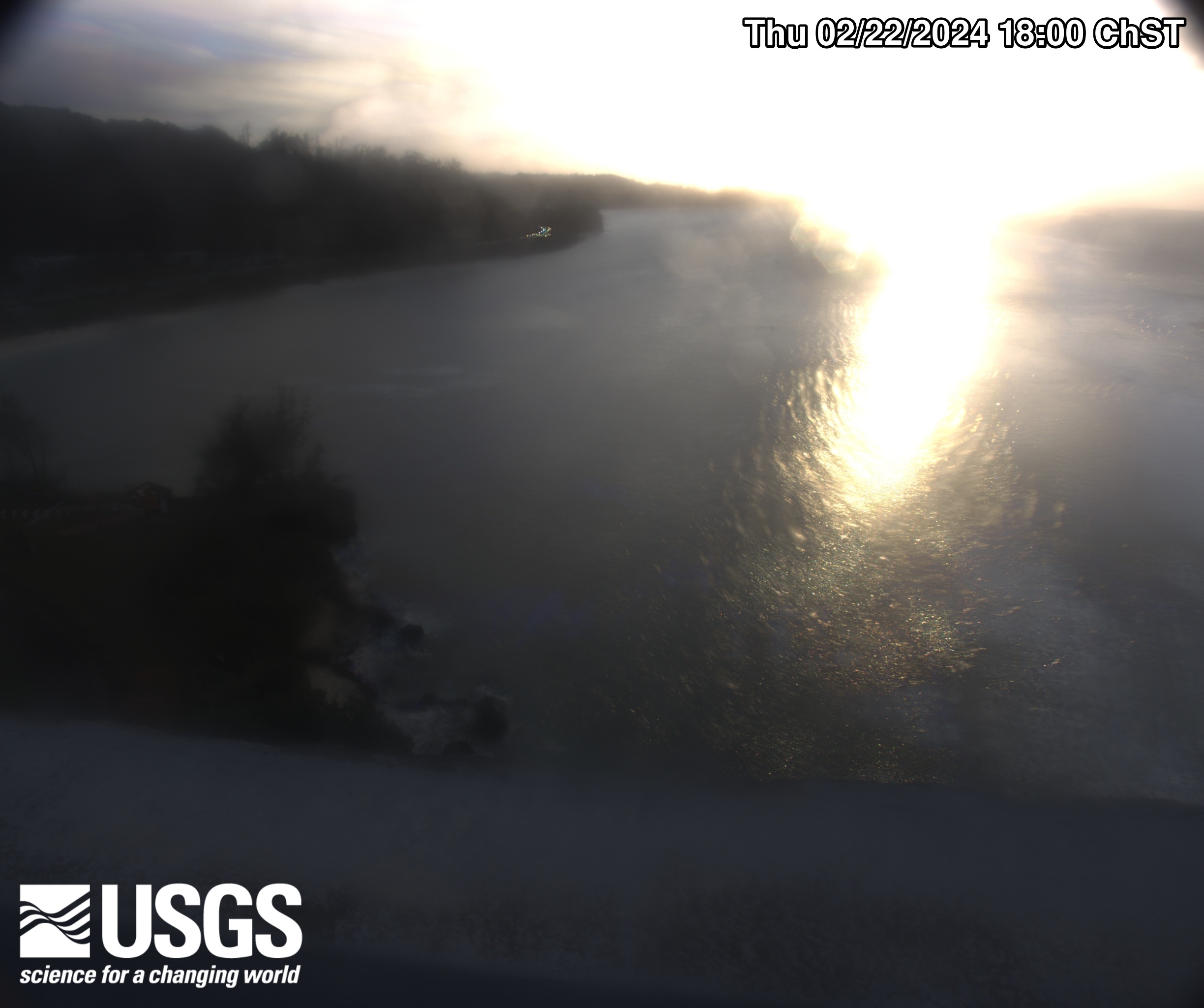
Dark 
Variance  |