The December 26, 2004 Indian Ocean Tsunami: Initial Findings on Tsunami Sand Deposits, Damage, and Inundation in Sri Lanka
Survey Site Locations and Photos:
Hikkaduwa
All images are between 89 kb and 222 kb
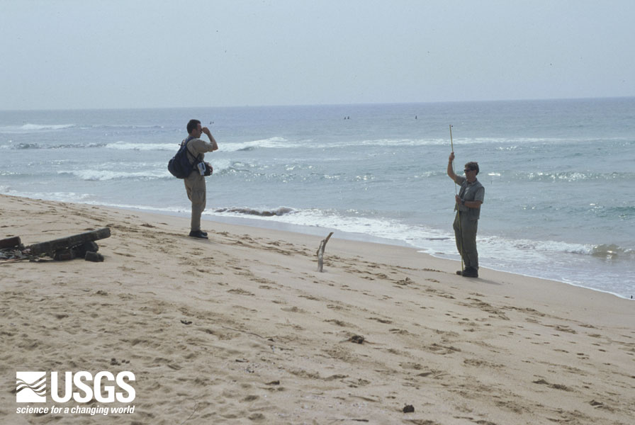
Simple, durable field tools, such as a hand level and tape, are used to survey topographic profiles and to measure heights of water marks above sea level.


