The December 26, 2004 Indian Ocean Tsunami: Initial Findings on Tsunami Sand Deposits, Damage, and Inundation in Sri Lanka
Survey Site Locations and Photos:
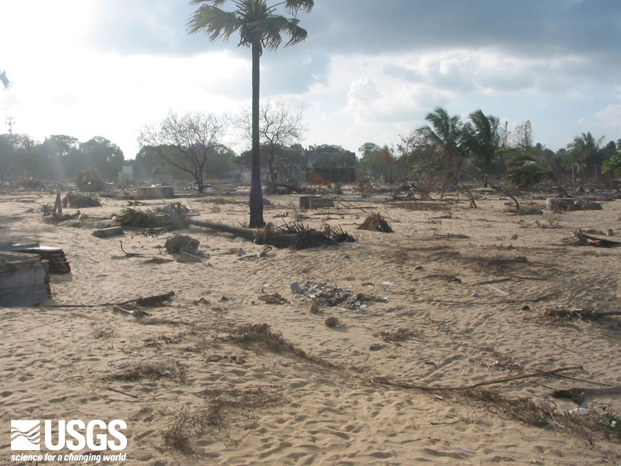
Kalmunai 2
 |
All images are between 114 kb and 282 kb
Flow direction indicators, here trees knocked down and bent over by the tsunami, indicated a strong onshore flow (235 degrees) at Kalmunai. Flow direction is important for determining what direction the tsunami travelled as it was modified by the nearshore underwater topography. This information is useful for ground-truthing tsunami inundation models.