This information is preliminary or provisional and is subject to revision. It is being provided to meet the need for timely best science. The information has not received final approval by the U.S. Geological Survey (USGS) and is provided on the condition that neither the USGS nor the U.S. Government shall be held liable for any damages resulting from the authorized or unauthorized use of the information.
Coastal, oceanographic and meteorological data at Unalakleet, Alaska
This page contains near real-time meteorological, oceanographic, and coastal data collected by a camera system and a wave buoy deployed at Unalakleet, Alaska. These instruments were installed by the U.S. Geological Survey (USGS) to research coastal change hazards and to develop real-time forecasts of coastal water levels and the probability of erosion in Alaska. The camera system collects information along the coast of Unalakleet. The wave buoy is located 2.2 mi (3.5 km) off the shore of Unalakleet in approximately 26 ft (8 m) of water.
The map below shows the location of the wave buoy deployment site and camera system. Additional survey details are available from the USGS Coastal and Marine Geoscience Data System (CMGDS) at https://cmgds.marine.usgs.gov/fan_info.php?fan=2023-653-FA. All times on this page are in Alaska Standard Time (AKST) or Alaska Daylight Time (AKDT).
Surface wave buoys measure the changes in elevation of the sea surface as waves pass by the buoy. The buoys record accelerations and/or Global Positioning System (GPS) signals. These data are analyzed to calculate information describing the waves including:
Significant wave height: The average of the highest one-third of all the wave heights during the sampling period.
Peak period: The wave period is the time it takes for one complete wave to pass a particular point. Peak refers to the wave period with the most wave energy.
Peak wave direction: The direction waves are traveling from at the peak period (meteorological convention). The units are degrees from true North, increasing clockwise, with North as 0 degrees and East as 90 degrees, etc.
Peak directional spreading: Describes the range of wave directions about the peak wave direction.
The buoy deployed in Unalakleet is a Sofar Spotter buoy located at 63.88114°N, 160.87146°W, 2.2 mi (3.5 km) off the shore at 26 ft (8 m) depth. Spotter is a basketball-sized buoy that collects and transmits real-time data of waves, winds, sea surface temperature and barometric pressure. The wave buoy samples changes in water surface elevation at a rate of 2.5 samples per second for 30 minutes and computes the distribution of energy across different wave periods and directions. The data are stored on the buoy and used to calculate the height, period, direction, and directional spread of the waves, which are transmitted hourly via satellite communications.
Coastal data
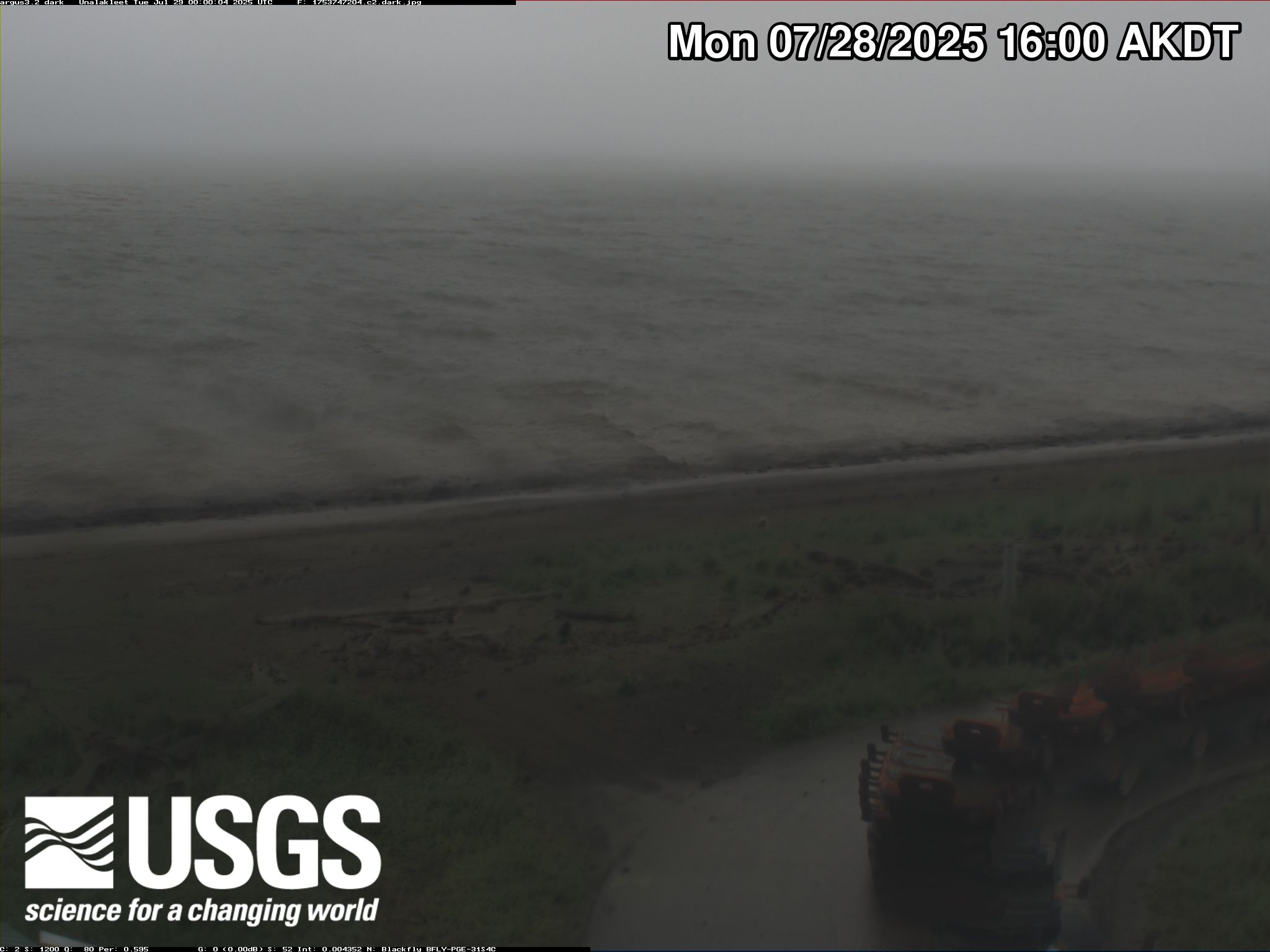
Remote video cameras are a powerful tool to continuously monitor long stretches of coast. A camera system provides hourly estimates of coastal water levels influenced by tides, winds, waves, and changes at the coast. The systems used by USGS consist of two video cameras housed in a weather-proof case mounted with a seaward view and a minicomputer wired to the camera and stored in a sheltered location. The minicomputer is solar-powered and runs automatically with cellular internet connection. At regular intervals, during daylight hours, the camera takes snapshots and videos from which several products are created, such as time exposure images. This type of data collection has been successful at numerous sites around the world and can be used to examine a range of coastal information, including waves, regular and extreme water level statistics, shoreline position, sandbar position and movement, rip current presence, and coastal changes. The following types of images can be obtained by processing the data from the camera system:
Snapshots: The first frame of the video, just like a standard photo
Time exposure: Time averaged-image of all frames, it is used to determine the location of persistent wave breaking.
Variance: Image that shows the standard deviation of pixel intensity, it is used to determine where objects in the image are moving.
Bright: A composite image that shows the brightest pixel values throughout the video, is it used to estimate the maximum wave run-up on the beach.
Dark: A composite image that shows the darkest pixel values throughout the video, it is used to remove the bright intensity breaking waves from the image.
The camera system in Unalakleet was installed on a windmill tower with coordinates 63.875909°N, 160.795535°W at a height of approximately 40 ft (12 m) above the ground surface, with a view of the beach in front of the offices of the City of Unalakleet. Below are the products generated at this site.
The wave buoy was removed on October 23, 2023 in preparation for the winter ice season. We plan to redeploy the buoy in summer 2024.
Imagery
Latest snapshot imagery and time-lapse videos also available at the Hydrologic Imagery Visualization and Information System (HIVIS): Camera 1 | Camera 2