Other ID: none
Status: Completed
Organization(s): USGS, Woods Hole Coastal and Marine Science Center
Funding Program(s):
Principal Investigator(s): Bradford Butman
Affiliate Investigator(s):
Information Specialist(s):
Data Type(s): Time Series: Mooring (physical oceanography)
Scientific Purpose/Goals: The objective of the HORNBEAM cruise was to deploy current meter moorings (#107, 109 and 110) at three locations on Georges Bank. A total of 3 surface markers and 2 subsurface moorings were deployed with 5 VACMs and two pressure-temperature gauges.
Vehicle(s):
Start Port/Location: Woods Hole, MA
End Port/Location: Woods Hole, MA
Start Date: 1976-03-29
End Date: 1976-03-31
Equipment Used: Bottom platform
Information to be Derived: Time series data;
Summary of Activity and Data Gathered: Moorings deployed: 3 (#107,109 and 110 all recovered FA 76031 OCEANUS 13 Aug. 12-24, 1976). XBTs: 18.
Staff: Bradford Butman
Affiliate Staff:
John Vermersch (WHOI)
Willie Ostrom (WHOI)
Notes:
Location:
Georges Bank, United States, North America, North Atlantic,
| Boundaries | |||
|---|---|---|---|
| North: 42.04838581 | South: 40.75511713 | West: -69.91999601 | East: -67.44869506 |
Platform(s):
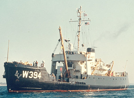 Hornbeam |
Moody, J.A., and Butman, B., 1980, Semidiurnal bottom pressure and tidal currents on Georges Bank and in the Mid-Atlantic Bight: U.S. Geological Survey Open-File Report 80-1137, https://doi.org/10.3133/ofr801137.
Moody, J.A., Butman, B., Beardsley, R.C., Brown, W.S., Daifuku, P., Irish, J.D., Mayer, D.A., Mofjeld, H.O., Petrie, B., Ramp, S., Smith, P., and Wright, W.R., 1984, Atlas of tidal elevation and current observations on the Northeast American continental shelf and slope: U.S. Geological Survey Bulletin 1611, https://doi.org/10.3133/b1611.
| Title | Survey Equipment | Description |
|---|---|---|
| Cruise report | (document not focused on specific equipment) | Chief Scientist's cruise report of ship movement, personnel, equipment and data acquisition, and track map. |
| Survey Equipment | Survey Info | Data Type(s) | Data Collected |
|---|---|---|---|
| Bottom platform | --- | Mooring (physical oceanography) | 1976-008-FA-OM-001 (Georges Bank Sediment mooring data) |
